Wyalusing, PA
Advertisement
Wyalusing, PA Map
Wyalusing is a US city in Bradford County in the state of Pennsylvania. Located at the longitude and latitude of -76.261880, 41.668130 and situated at an elevation of 705 meters. In the 2020 United States Census, Wyalusing, PA had a population of 613 people. Wyalusing is in the Eastern Standard Time timezone at Coordinated Universal Time (UTC) -5. Find directions to Wyalusing, PA, browse local businesses, landmarks, get current traffic estimates, road conditions, and more.
Wyalusing, Pennsylvania, is a small town known for its scenic beauty and rich history. Nestled in the Endless Mountains region, it's a place where nature and history intertwine. The town is perhaps best known for the Wyalusing Rocks, a stunning overlook that offers panoramic views of the Susquehanna River Valley. This natural vantage point has long been a favorite among photographers and nature enthusiasts. The town's history is deeply rooted in its Native American heritage and its role as a stop along the Sullivan Expedition during the American Revolutionary War, which is commemorated by historical markers throughout the area.
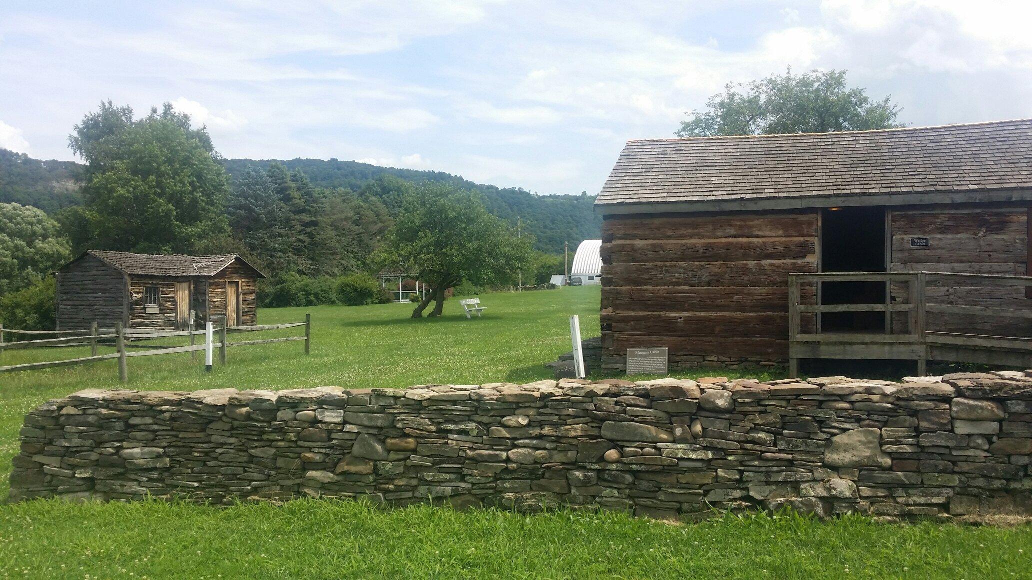
Visitors to Wyalusing can explore a variety of attractions, including the Wyalusing Valley Museum, which provides insights into the area's past with exhibits on local history and culture. The town also hosts the annual Wyalusing Valley Wine Festival, a popular event that draws wine lovers from across the region. For those who enjoy the outdoors, Wyalusing is a gateway to hiking, fishing, and kayaking adventures, with the nearby Susquehanna River offering ample opportunities for water-based activities. Whether you're a history buff or an outdoor enthusiast, Wyalusing offers a charming retreat with a blend of natural and historical attractions.
Nearby cities include: Asylum, PA, Laceyville, PA, Wilmot, PA, Tuscarora, PA, Braintrim, PA, Herrick, PA, Stevens, PA, Albany, PA, New Albany, PA, Monroe, PA.
Places in Wyalusing
Dine and drink
Eat and drink your way through town.
Places to stay
Hang your (vacation) hat in a place that’s just your style.
Advertisement


