White Haven, PA
Advertisement
White Haven, PA Map
White Haven is a US city in Luzerne County in the state of Pennsylvania. Located at the longitude and latitude of -75.774080, 41.060640 and situated at an elevation of 1,221 meters. In the 2020 United States Census, White Haven, PA had a population of 1,166 people. White Haven is in the Eastern Standard Time timezone at Coordinated Universal Time (UTC) -5. Find directions to White Haven, PA, browse local businesses, landmarks, get current traffic estimates, road conditions, and more.
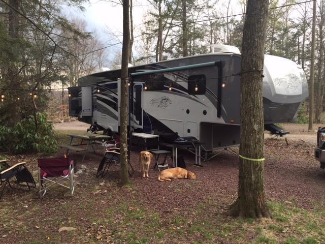
White Haven, Pennsylvania, is a small town known for its rich history and outdoor recreational opportunities. Nestled in the Pocono Mountains, it was founded in the 19th century as a hub for the logging and railroad industries. Today, White Haven serves as a gateway to nature enthusiasts eager to explore the stunning landscapes of the region. The town is particularly popular for its proximity to the Lehigh Gorge State Park, where visitors can enjoy hiking, biking, and whitewater rafting along the scenic Lehigh River. The park's picturesque trails and the breathtaking views of the gorge make it a must-visit for adventurers.
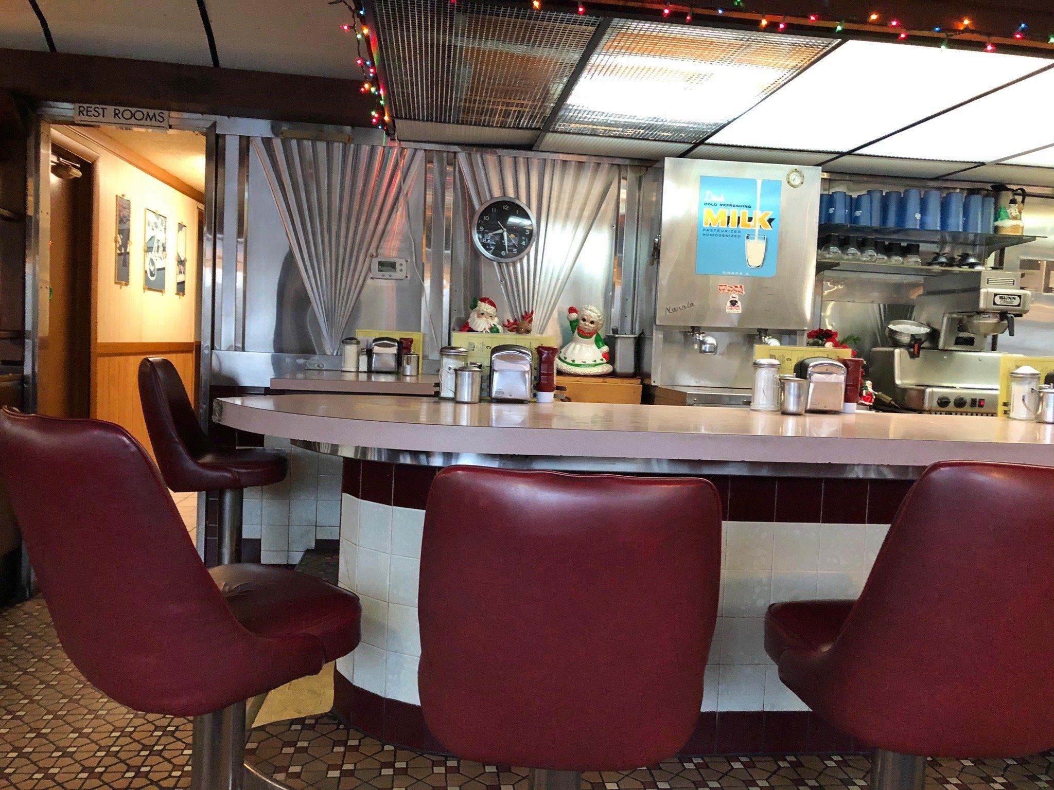
In addition to its natural attractions, White Haven boasts a charming small-town atmosphere, with several local eateries and shops that reflect its historic roots. The White Haven Community Library, housed in a former train station, offers a glimpse into the town's past, while the historic Lehigh Tannery, although now in ruins, serves as a fascinating reminder of the area's industrial heritage. Whether you're exploring the great outdoors or soaking in the town's history, White Haven provides a peaceful retreat with plenty of character and charm.
Nearby cities include: East Side, PA, Hickory Hills, PA, Penn Lake Park, PA, Dennison, PA, Foster, PA, Kidder, PA, Freeland, PA, Lausanne, PA, Jeddo, PA, Wright, PA.
Places in White Haven
Dine and drink
Eat and drink your way through town.
Can't-miss activities
Culture, natural beauty, and plain old fun.
Places to stay
Hang your (vacation) hat in a place that’s just your style.
Advertisement


