Slatington, PA
Advertisement
Slatington, PA Map
Slatington is a US city in Lehigh County in the state of Pennsylvania. Located at the longitude and latitude of -75.611850, 40.748430 and situated at an elevation of 490 meters. In the 2020 United States Census, Slatington, PA had a population of 4,283 people. Slatington is in the Eastern Standard Time timezone at Coordinated Universal Time (UTC) -5. Find directions to Slatington, PA, browse local businesses, landmarks, get current traffic estimates, road conditions, and more.
Slatington, Pennsylvania, is a small borough with a rich historical heritage, primarily known for its slate industry, which thrived in the 19th and early 20th centuries. This legacy is evident in the town's architecture and local culture, with many buildings and structures reflecting the slate industry's influence. The town's history is preserved and celebrated at the Slatington Historic District, which is listed on the National Register of Historic Places. Visitors can explore the town's past through these historic sites and gain insight into the slate industry's significance in shaping the community.
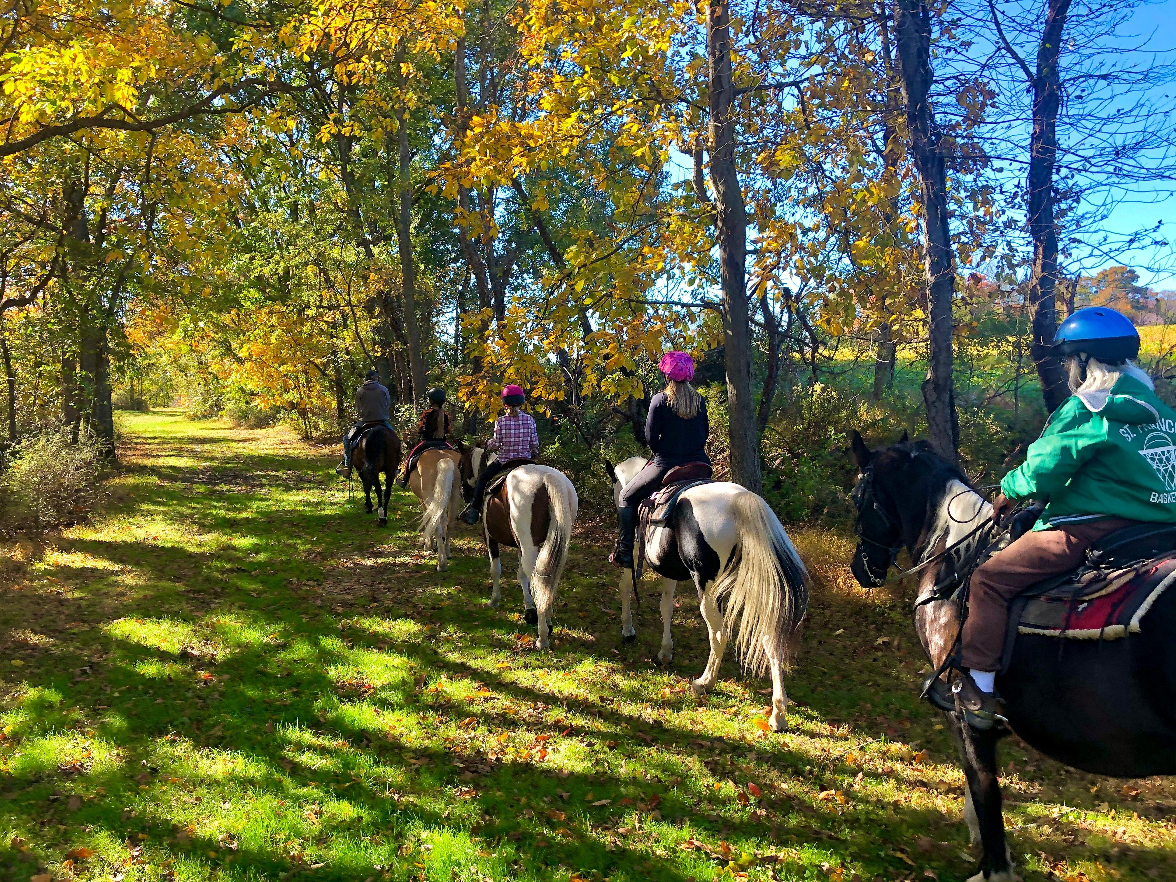
For outdoor enthusiasts, Slatington offers access to the scenic Northern Lehigh Trail, part of the larger Delaware & Lehigh National Heritage Corridor, which provides opportunities for hiking, biking, and enjoying the picturesque landscapes of the Lehigh Valley. The Walnutport Canal Locktender's House and Museum nearby offers a glimpse into the region's canal history, complementing the town's industrial roots. Slatington's blend of historical charm and natural beauty makes it a unique destination for those interested in exploring Pennsylvania's industrial past and enjoying outdoor recreation.
Nearby cities include: Walnutport, PA, Slatedale, PA, Lower Towamensing, PA, Palmerton, PA, Cherryville, PA, Bowmanstown, PA, Laurys Station, PA, Schnecksville, PA, Parryville, PA, Egypt, PA.
Places in Slatington
Dine and drink
Eat and drink your way through town.
Can't-miss activities
Culture, natural beauty, and plain old fun.
Places to stay
Hang your (vacation) hat in a place that’s just your style.
Advertisement


