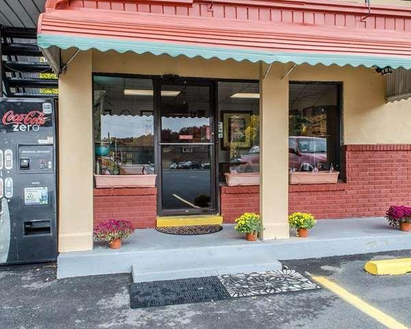
Shenandoah, PA
Advertisement
Shenandoah Map
Shenandoah is a small town located in the lower part of the anthracite Coal Region, Schuylkill County, Pennsylvania. It is 105 miles (169 km) northwest of Philadelphia. The Greater Shenandoah area includes Shenandoah Heights, which is part of West Mahanoy Township and is located just north of Shenandoah.
The area that became Shenandoah was first settled by a farmer named Peter Kehley in 1835. He sold his claim to the Philadelphia Land Company, which in anticipation of the opening of coal mines in the area, laid out the town in 1862.
Booming growth occurred during the Civil War years caused by the development and opening of several anthracite coal mines. The area was incorporated as a borough in 1866 and was a famous hotbed of activity during the era of the Molly Maguires in the 1870s.
Nearby cities include Lavelle, Mount Carmel, Branchdale, Tamaqua, Orwigsburg.
Places in Shenandoah
Dine and drink
Eat and drink your way through town.
Can't-miss activities
Culture, natural beauty, and plain old fun.
Places to stay
Hang your (vacation) hat in a place that’s just your style.
Advertisement


