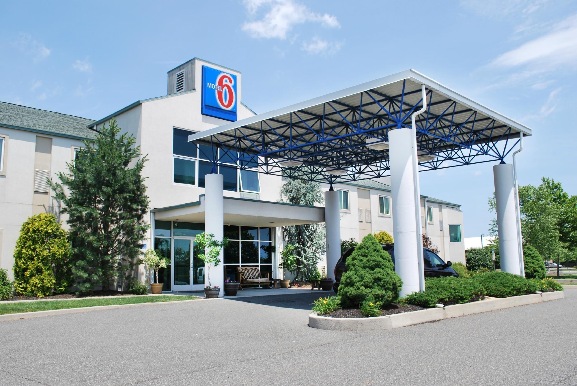
Pottstown, PA
Advertisement
Pottstown, PA Map
Pottstown is a US city in Montgomery County in the state of Pennsylvania. Located at the longitude and latitude of -75.640300, 40.249700 and situated at an elevation of 62 meters. In the 2020 United States Census, Pottstown, PA had a population of 23,433 people. Pottstown is in the Eastern Standard Time timezone at Coordinated Universal Time (UTC) -5. Find directions to Pottstown, PA, browse local businesses, landmarks, get current traffic estimates, road conditions, and more.
Pottstown, located in Pennsylvania, is a city with a rich industrial history rooted primarily in iron and steel production, which laid the groundwork for its development in the 18th and 19th centuries. Founded in 1752 by John Potts, Pottstown's historical charm is evident in its well-preserved architecture and numerous historic sites. The Pottsgrove Manor, once home to its founder, offers a glimpse into colonial life and the early days of the city. Pottstown's connection to the Schuylkill River has also been significant, providing both a transportation route and a source of recreation for residents and visitors alike.
Today, Pottstown is known for its vibrant community events and cultural attractions. The Steel River Playhouse is a local cultural gem, providing a venue for theater productions and arts education. Outdoor enthusiasts can enjoy the Schuylkill River Trail, which offers scenic views and opportunities for cycling and walking. The city also hosts annual events like the Pottstown Rumble, one of the largest grass volleyball tournaments in the country, drawing participants and spectators from across the region. With its blend of history, culture, and community spirit, Pottstown offers a unique experience for visitors interested in exploring a quintessentially American small town.
Nearby cities include: Pottsgrove, PA, Halfway House, PA, West Pottsgrove, PA, Stowe, PA, Upper Pottsgrove, PA, Lower Pottsgrove, PA, Douglassville, PA, South Coventry, PA, Gilbertsville, PA, Boyertown, PA.
Places in Pottstown
Dine and drink
Eat and drink your way through town.
Can't-miss activities
Culture, natural beauty, and plain old fun.
Places to stay
Hang your (vacation) hat in a place that’s just your style.
Advertisement


