


Perkasie, PA
Advertisement
Perkasie, PA Map
Perkasie is a US city in Bucks County in the state of Pennsylvania. Located at the longitude and latitude of -75.293056, 40.371667 and situated at an elevation of 436 meters. In the 2020 United States Census, Perkasie, PA had a population of 9,120 people. Perkasie is in the Eastern Standard Time timezone at Coordinated Universal Time (UTC) -5. Find directions to Perkasie, PA, browse local businesses, landmarks, get current traffic estimates, road conditions, and more.
Perkasie, a charming borough in Pennsylvania, is known for its rich history and small-town allure. Established in the late 19th century, Perkasie has managed to preserve its historical charm while embracing modernity. The town is particularly noted for its annual Perkasie Fall Festival, which draws visitors from across the region to enjoy seasonal festivities and local crafts. The Perkasie Carousel, a restored 1920s gem, is a highlight for families and nostalgia enthusiasts. This iconic carousel, located in Menlo Park, is a testament to the town's commitment to preserving its historical landmarks.
Among Perkasie's popular attractions is the expansive Lenape Park, which offers scenic walking trails, picnic areas, and sports facilities, making it a favorite spot for outdoor activities. Additionally, the town's quaint downtown area features a selection of local shops, cafes, and restaurants that capture the essence of a tight-knit community. The historical Perkasie Train Station, although no longer in operation, stands as a symbol of the borough’s past, adding to the unique character of this picturesque town. Overall, Perkasie provides a perfect blend of history, community spirit, and recreational opportunities, making it a delightful destination to explore.
Nearby cities include: Sellersville, PA, Silverdale, PA, Hilltown, PA, Telford, PA, Souderton, PA, East Rockhill, PA, Dublin, PA, Quakertown, PA, Trumbauersville, PA, Richland, PA.
Places in Perkasie
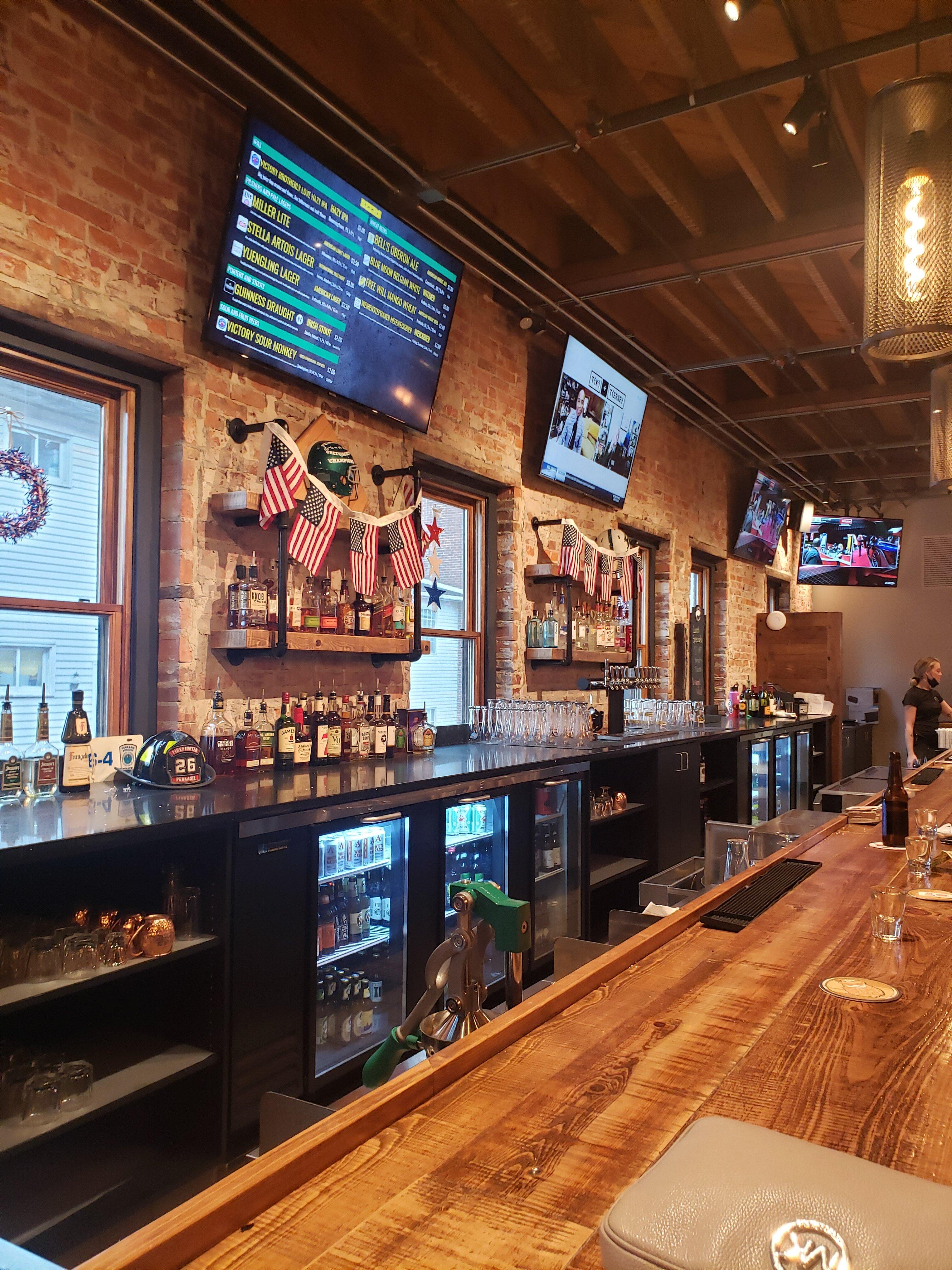
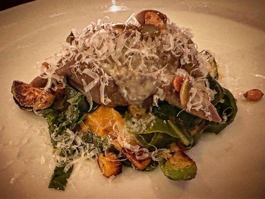
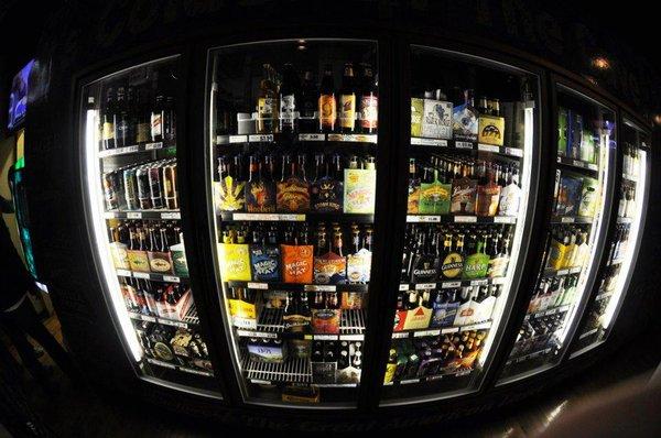
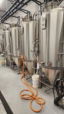
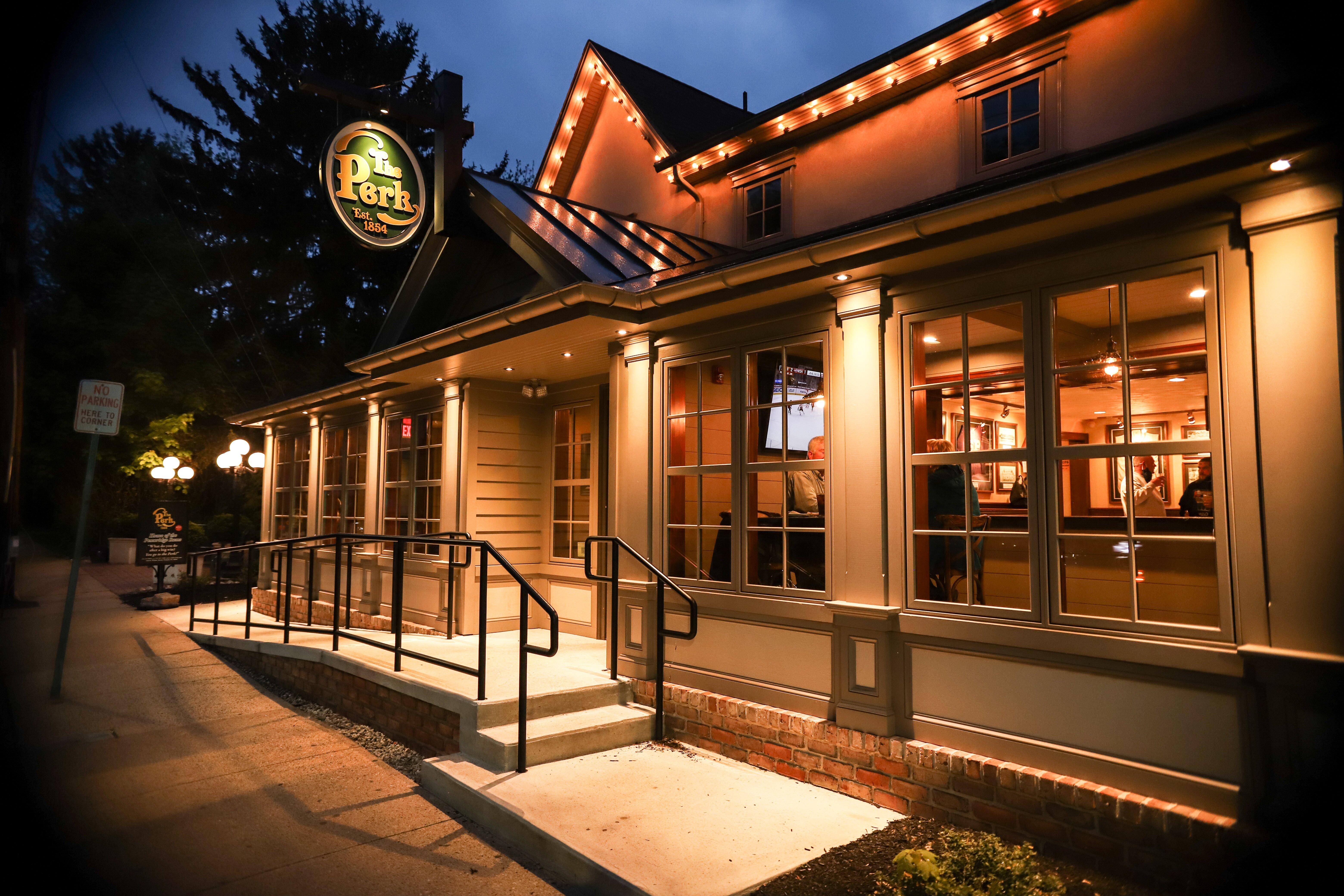
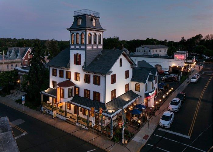
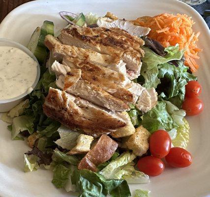
Dine and drink
Eat and drink your way through town.

Can't-miss activities
Culture, natural beauty, and plain old fun.

Places to stay
Hang your (vacation) hat in a place that’s just your style.
Advertisement