Mountain Top, PA
Advertisement
Mountain Top, PA Map
Mountain Top is a US city in Luzerne County in the state of Pennsylvania. Located at the longitude and latitude of -75.904444, 41.135278 and situated at an elevation of 475 meters. In the 2020 United States Census, Mountain Top, PA had a population of 11,489 people. Mountain Top is in the Eastern Standard Time timezone at Coordinated Universal Time (UTC) -5. Find directions to Mountain Top, PA, browse local businesses, landmarks, get current traffic estimates, road conditions, and more.
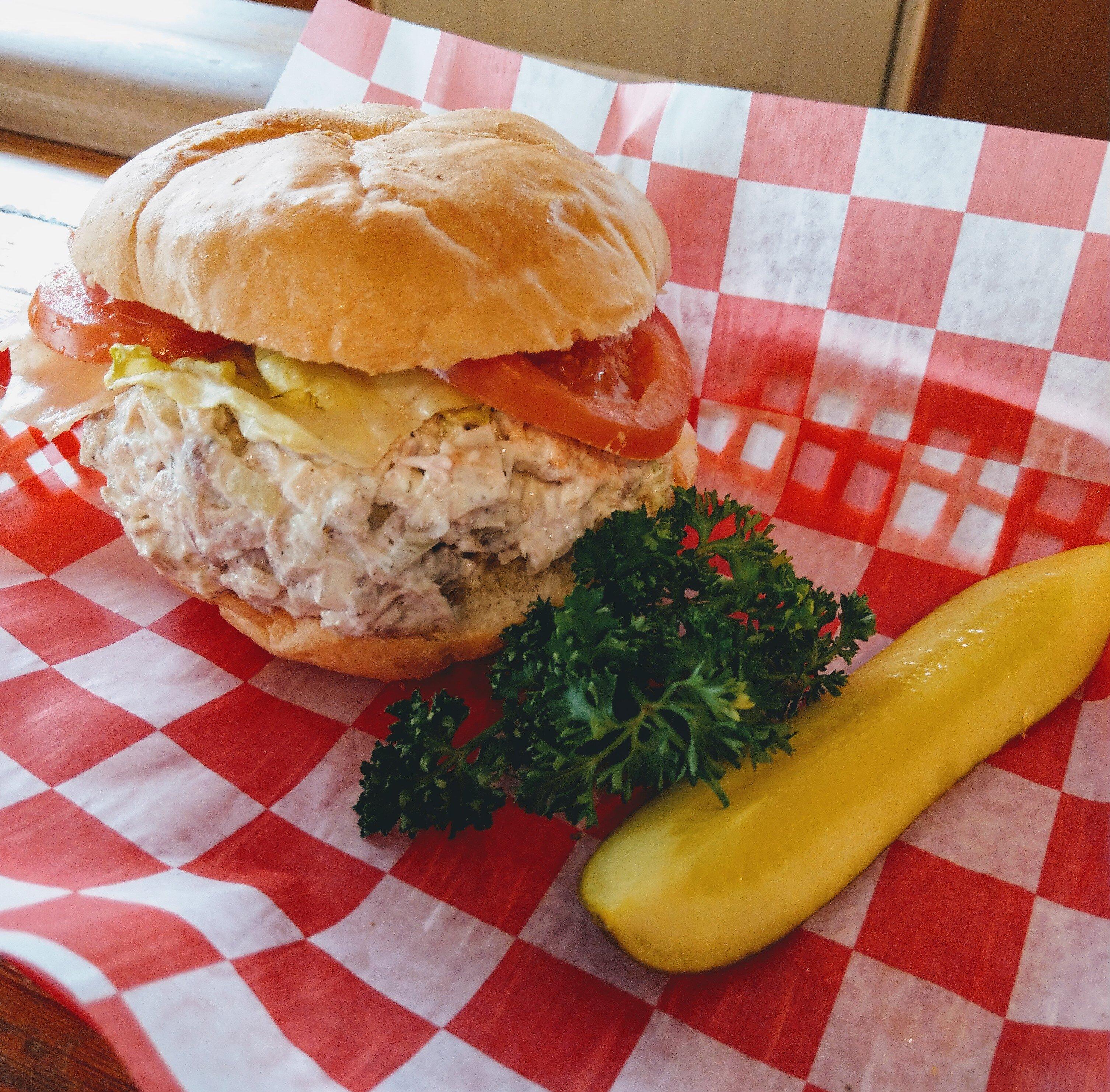
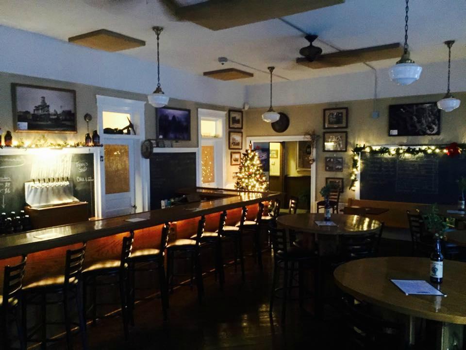
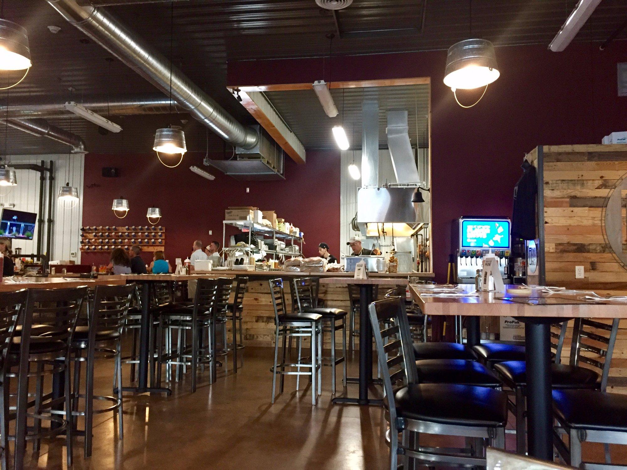
Mountain Top, Pennsylvania, is a charming locale known for its scenic landscapes and small-town atmosphere. Nestled in the northeastern part of the state, it serves as a gateway to the picturesque Pocono Mountains, making it a popular destination for outdoor enthusiasts. The area is renowned for its hiking trails, particularly in the nearby Nescopeck State Park, where visitors can explore a variety of ecosystems and enjoy activities like bird watching and fishing. The town itself offers a quaint retreat with local eateries and shops that provide a taste of the region's hospitality and community spirit.
Historically, Mountain Top has roots that trace back to the early 19th century, reflecting a rich tapestry of local history connected to the broader development of Pennsylvania. A significant point of interest is the historic St. Martin in the Fields Church, which stands as a testament to the area's heritage. This community-centric town often hosts seasonal events and festivals that celebrate its culture and natural beauty, drawing visitors who appreciate both its tranquil environment and its friendly, welcoming residents.
Nearby cities include: Wright, PA, Rice, PA, Fairview, PA, Nuangola, PA, Dennison, PA, Sugar Notch, PA, Warrior Run, PA, Ashley, PA, Laurel Run, PA, Georgetown, PA.
Places in Mountain Top
Dine and drink
Eat and drink your way through town.
Can't-miss activities
Culture, natural beauty, and plain old fun.
Places to stay
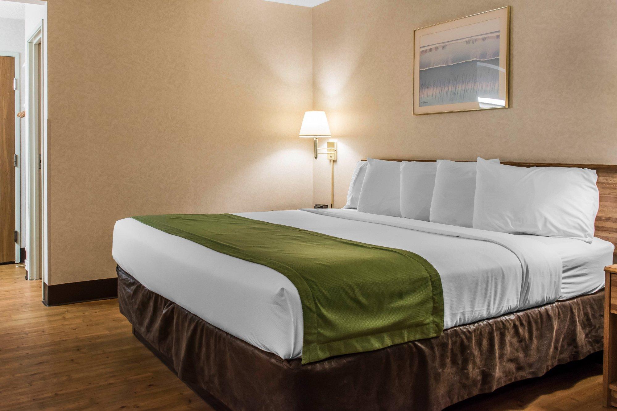
Hang your (vacation) hat in a place that’s just your style.
Advertisement


