Mount Joy, PA
Advertisement
Mount Joy, PA Map
Mount Joy is a US city in Lancaster County in the state of Pennsylvania. Located at the longitude and latitude of -76.511100, 40.110000 and situated at an elevation of 371 meters. In the 2020 United States Census, Mount Joy, PA had a population of 8,325 people. Mount Joy is in the Eastern Standard Time timezone at Coordinated Universal Time (UTC) -5. Find directions to Mount Joy, PA, browse local businesses, landmarks, get current traffic estimates, road conditions, and more.
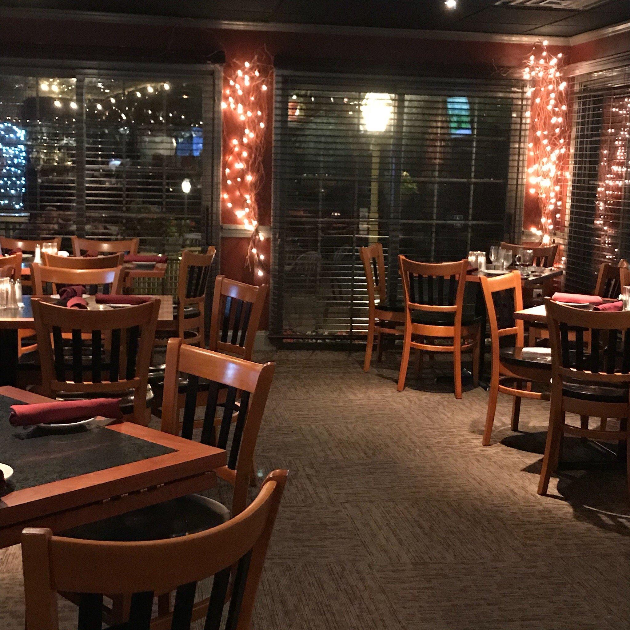
Mount Joy, Pennsylvania, is a charming small town known for its rich history and welcoming community. It is a place where the past and present harmoniously coexist, offering visitors a glimpse into both its historical roots and vibrant present-day culture. The town is particularly recognized for its quaint downtown area, which features a collection of local shops, eateries, and historic buildings that contribute to its quintessential small-town charm. One of the notable landmarks in Mount Joy is the Bube's Brewery, a historic 19th-century brewery that now operates as a restaurant and entertainment venue, offering unique dining experiences in its catacombs and beer gardens.
The history of Mount Joy dates back to the 18th century when it was established as a settlement along a well-traveled path in Pennsylvania. Its name is believed to have been inspired by an Irish supply ship, the "Mountjoy," which played a role in relieving the Siege of Derry in 1689. Today, visitors can explore the town's history through its well-preserved architecture and the Mount Joy Historical Society, which offers insights into the area's development over the years. With its blend of historical intrigue and modern-day attractions, Mount Joy provides a peaceful yet engaging retreat for those looking to explore the heart of Pennsylvania.
Nearby cities include: Rheems, PA, Marietta, PA, Rapho, PA, Maytown, PA, Salunga-Landisville, PA, Columbia, PA, Landisville, PA, Elizabethtown, PA, Wrightsville, PA, West Donegal, PA.
Places in Mount Joy
Dine and drink
Eat and drink your way through town.
Can't-miss activities
Culture, natural beauty, and plain old fun.
Places to stay
Hang your (vacation) hat in a place that’s just your style.
Advertisement


