


Houtzdale, PA
Advertisement
Houtzdale, PA Map
Houtzdale is a US city in Clearfield County in the state of Pennsylvania. Located at the longitude and latitude of -78.351130, 40.825060 and situated at an elevation of 1,530 meters. In the 2020 United States Census, Houtzdale, PA had a population of 764 people. Houtzdale is in the Eastern Standard Time timezone at Coordinated Universal Time (UTC) -5. Find directions to Houtzdale, PA, browse local businesses, landmarks, get current traffic estimates, road conditions, and more.
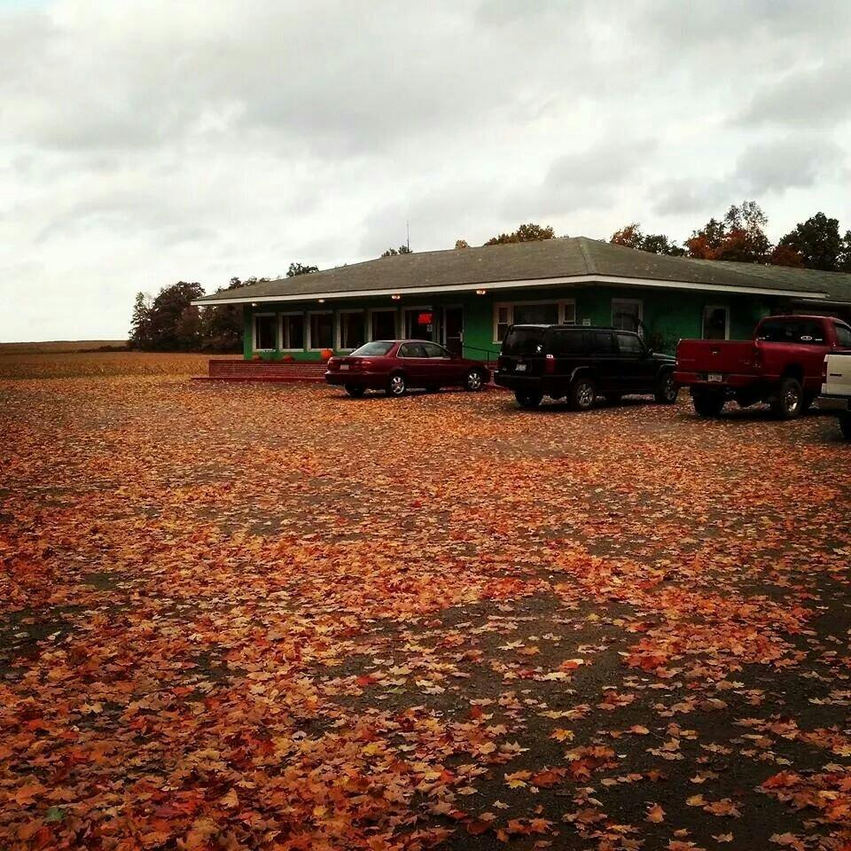
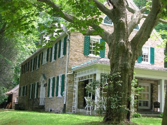
Houtzdale, a small borough in Pennsylvania, offers a glimpse into the historical tapestry of the state's coal mining past. Established in the late 19th century, Houtzdale thrived during the coal boom, and remnants of this era can still be seen in its architecture and local culture. The town is known for its quiet, rural charm and serves as a testament to the hardworking communities that once powered America's industrial age. Visitors often appreciate the town's historical significance and the stories of resilience and community spirit that are deeply ingrained in its identity.
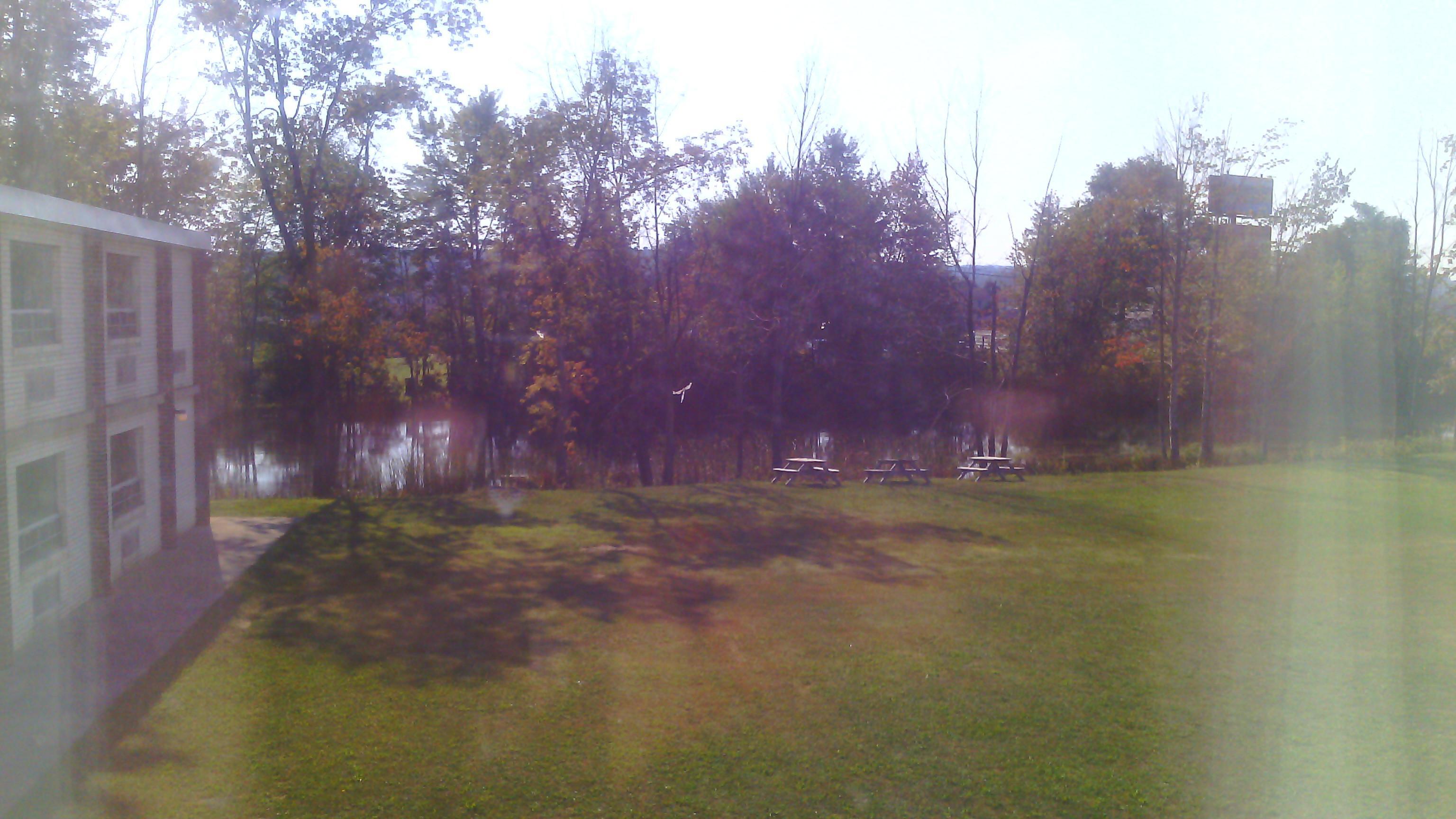
While in Houtzdale, one can explore the tranquil surroundings and enjoy outdoor activities such as hiking and fishing in the nearby natural areas. The borough is also home to several small, locally-owned shops and eateries that offer a taste of the region's hospitality. Although not a bustling metropolis, Houtzdale's charm lies in its simplicity and the warmth of its residents, making it a unique stop for those interested in Pennsylvania's rich history and rural landscapes.
Nearby cities include: Brisbin, PA, Woodward, PA, Ramey, PA, Osceola Mills, PA, Decatur, PA, Bigler, PA, Gulich, PA, Sandy Ridge, PA, Chester Hill, PA, West Decatur, PA.
Places in Houtzdale
Dine and drink
Eat and drink your way through town.


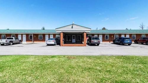
Places to stay
Hang your (vacation) hat in a place that’s just your style.
Advertisement