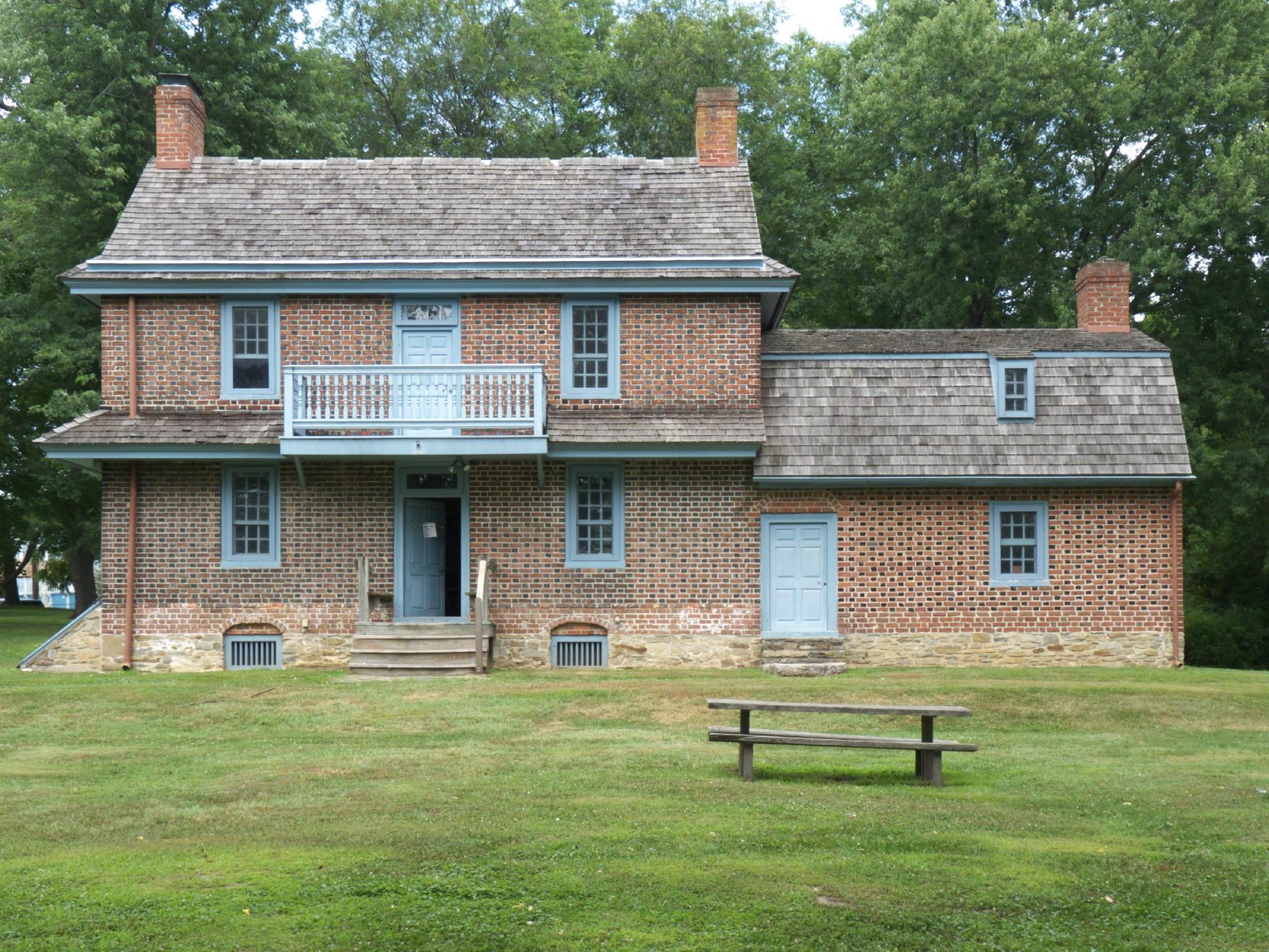
Glenolden, PA
Advertisement
Glenolden, PA Map
Glenolden is a US city in Delaware County in the state of Pennsylvania. Located at the longitude and latitude of -75.289070, 39.900110 and situated at an elevation of 92 meters. In the 2020 United States Census, Glenolden, PA had a population of 7,223 people. Glenolden is in the Eastern Standard Time timezone at Coordinated Universal Time (UTC) -5. Find directions to Glenolden, PA, browse local businesses, landmarks, get current traffic estimates, road conditions, and more.
Glenolden, a quaint borough in Pennsylvania, is known for its close-knit community and charming suburban atmosphere. While it might not be a bustling metropolis, Glenolden offers a slice of small-town America with its tree-lined streets and welcoming vibe. A key landmark in the area is the Glenolden Park, a favorite among locals for its scenic walking trails, sports fields, and playgrounds, making it an ideal spot for family outings and community events. The borough also boasts a rich history, with roots dating back to the late 19th century, reflecting a period of growth influenced by the expansion of the railroad, which played a critical role in its development.
For those interested in a bit of local culture, the Glenolden Historical Society provides insights into the area's past, preserving artifacts and stories that highlight the borough's evolution over the decades. The community spirit is further exemplified by annual events and gatherings that bring residents together, fostering a sense of belonging and tradition. With its blend of historical charm and community-centric amenities, Glenolden offers a peaceful retreat with the convenience of suburban living.
Nearby cities include: Darby, PA, Folcroft, PA, Norwood, PA, Sharon Hill, PA, Collingdale, PA, Prospect Park, PA, Aldan, PA, Morton, PA, Clifton Heights, PA, Folsom, PA.
Places in Glenolden
Dine and drink
Eat and drink your way through town.
Can't-miss activities
Culture, natural beauty, and plain old fun.
Places to stay
Hang your (vacation) hat in a place that’s just your style.
Advertisement


