


Glassport, PA
Advertisement
Glassport, PA Map
Glassport is a US city in Allegheny County in the state of Pennsylvania. Located at the longitude and latitude of -79.888693, 40.326919 and situated at an elevation of 233 meters. In the 2020 United States Census, Glassport, PA had a population of 4,475 people. Glassport is in the Eastern Standard Time timezone at Coordinated Universal Time (UTC) -5. Find directions to Glassport, PA, browse local businesses, landmarks, get current traffic estimates, road conditions, and more.
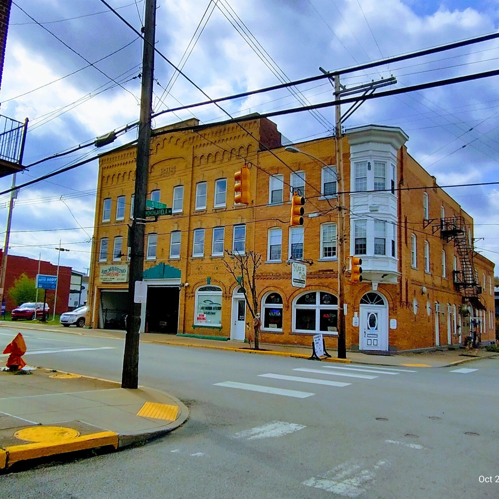
Glassport, Pennsylvania, is a small borough with a rich industrial heritage rooted in the steel and glass industries that once thrived in the region. Historically, the town was known for its significant contributions to these industries, which shaped its development and character. The name "Glassport" itself is a nod to the glass manufacturing that played a crucial role in the town's early economy. Although much of the heavy industry has faded, the legacy of those times is still evident in the architecture and layout of the town.
Visitors to Glassport can explore the remnants of its industrial past, including historical sites and structures that tell the story of the town's growth and transformation over the years. One notable spot is the Glassport Memorial Stadium, a hub for local sports and community events that highlights the town's enduring spirit. Additionally, the nearby Monongahela River offers scenic views and opportunities for outdoor activities, serving as a reminder of the natural beauty surrounding this historically industrial community. While it may not be a bustling metropolis, Glassport provides a quaint, historical perspective on the region's industrial evolution.
Nearby cities include: Wilson, PA, Port Vue, PA, Dravosburg, PA, Liberty, PA, Clairton, PA, McKeesport, PA, West Mifflin, PA, Versailles, PA, Lincoln, PA, Duquesne, PA.
Places in Glassport
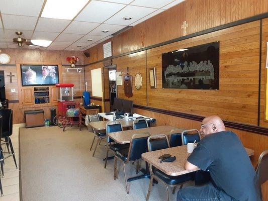
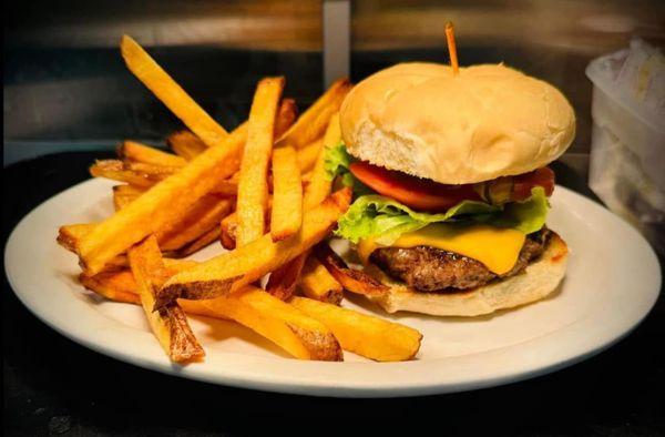
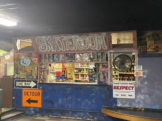
Dine and drink
Eat and drink your way through town.

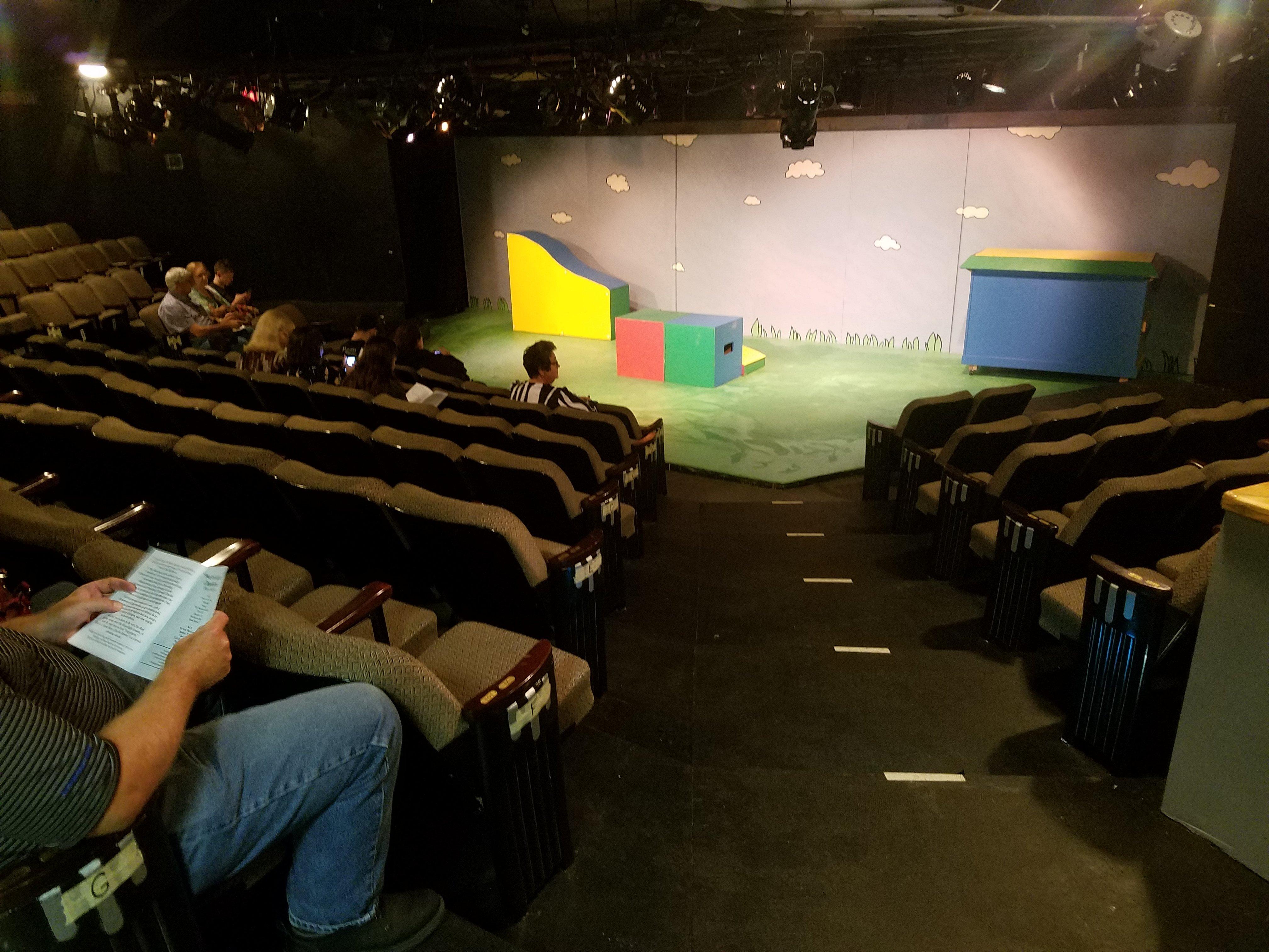
Can't-miss activities
Culture, natural beauty, and plain old fun.

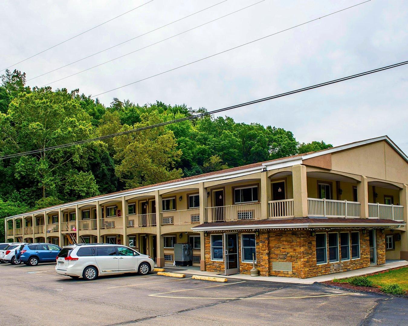
Places to stay
Hang your (vacation) hat in a place that’s just your style.


Advertisement