Gettysburg, PA
Advertisement
Gettysburg, PA Map
Gettysburg is a US city in Adams County in the state of Pennsylvania. Located at the longitude and latitude of -77.231100, 39.830930 and situated at an elevation of 558 meters. In the 2020 United States Census, Gettysburg, PA had a population of 7,106 people. Gettysburg is in the Eastern Standard Time timezone at Coordinated Universal Time (UTC) -5. Find directions to Gettysburg, PA, browse local businesses, landmarks, get current traffic estimates, road conditions, and more.
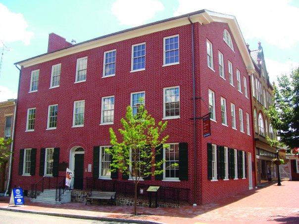
Gettysburg, located in the state of Pennsylvania, is a city steeped in American history, primarily known for the pivotal Battle of Gettysburg during the American Civil War in 1863. This historic clash is commemorated at the Gettysburg National Military Park, where visitors can explore extensive battlefields and monuments, including the iconic Gettysburg National Cemetery where President Abraham Lincoln delivered his famous Gettysburg Address. The city offers a rich tapestry of museums and historical sites, such as the Gettysburg Museum of History and the Jennie Wade House, which provide deeper insights into the era and the impact of the battle on the nation.
Beyond its historical significance, Gettysburg is home to a charming downtown area filled with quaint shops, restaurants, and art galleries that offer a pleasant retreat after a day of exploring history. The Gettysburg Heritage Center provides interactive exhibits that bring the past to life, while the Eisenhower National Historic Site, the home of President Dwight D. Eisenhower, offers a glimpse into mid-20th-century life. Whether one is a history buff or a casual traveler, Gettysburg seamlessly blends its rich past with a welcoming present, making it a must-visit destination for anyone interested in American history and culture.
Nearby cities include: Cumberland, PA, Straban, PA, Highland, PA, Bonneauville, PA, Mount Joy, PA, McKnightstown, PA, Freedom, PA, Mount Pleasant, PA, Orrtanna, PA, Biglerville, PA.
Places in Gettysburg
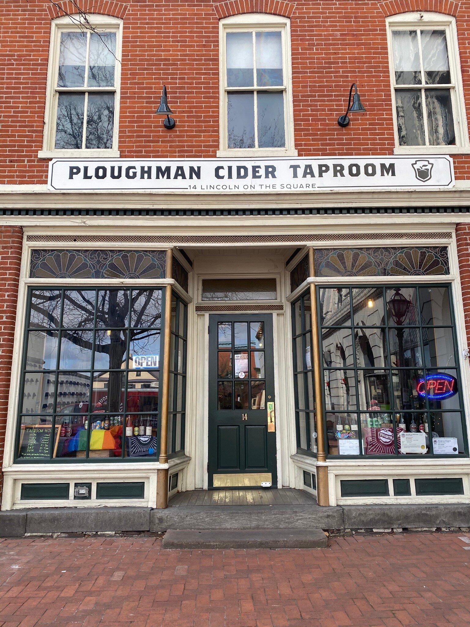
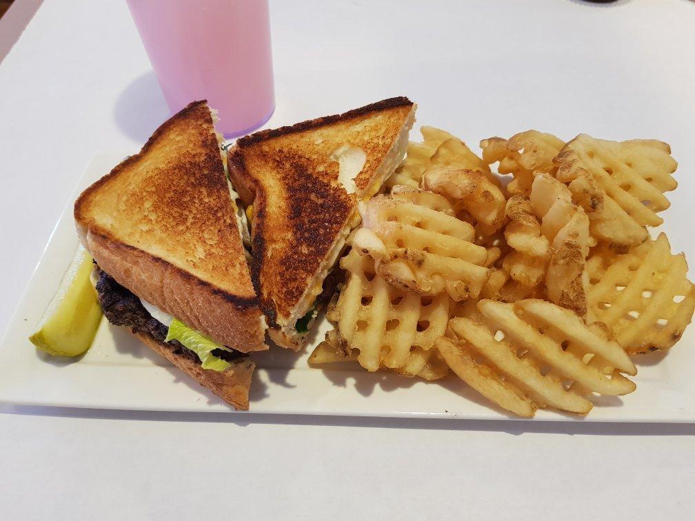
Dine and drink
Eat and drink your way through town.
Can't-miss activities
Culture, natural beauty, and plain old fun.
Places to stay
Hang your (vacation) hat in a place that’s just your style.
Advertisement


