Dravosburg, PA
Advertisement
Dravosburg, PA Map
Dravosburg is a US city in Allegheny County in the state of Pennsylvania. Located at the longitude and latitude of -79.889444, 40.350278 and situated at an elevation of 748 meters. In the 2020 United States Census, Dravosburg, PA had a population of 1,612 people. Dravosburg is in the Eastern Standard Time timezone at Coordinated Universal Time (UTC) -5. Find directions to Dravosburg, PA, browse local businesses, landmarks, get current traffic estimates, road conditions, and more.
Dravosburg, Pennsylvania, is a small borough that offers a quaint, small-town atmosphere with a touch of historical charm. Known primarily for its scenic views of the Monongahela River, Dravosburg provides a peaceful setting for those looking to explore the quieter side of Pennsylvania. The town's history is tied to the coal and steel industries, which played a significant role in its development during the late 19th and early 20th centuries. Visitors often appreciate the historical architecture and the stories of early settlers that these structures represent, providing a glimpse into the area's industrious past.
A popular spot within Dravosburg is the Dravosburg Volunteer Fire Department, which hosts various community events that bring residents and visitors together, fostering a strong sense of community spirit. Additionally, the borough is known for its parks and recreational areas, offering opportunities for outdoor activities such as picnicking, walking, and enjoying the natural landscape. While Dravosburg may not boast large tourist attractions, its charm lies in its simplicity and the welcoming nature of its community, making it a pleasant stop for those exploring Pennsylvania's smaller towns.
Nearby cities include: Port Vue, PA, West Mifflin, PA, Glassport, PA, Liberty, PA, McKeesport, PA, Duquesne, PA, Wilson, PA, Munhall, PA, West Homestead, PA, Whitaker, PA.
Places in Dravosburg
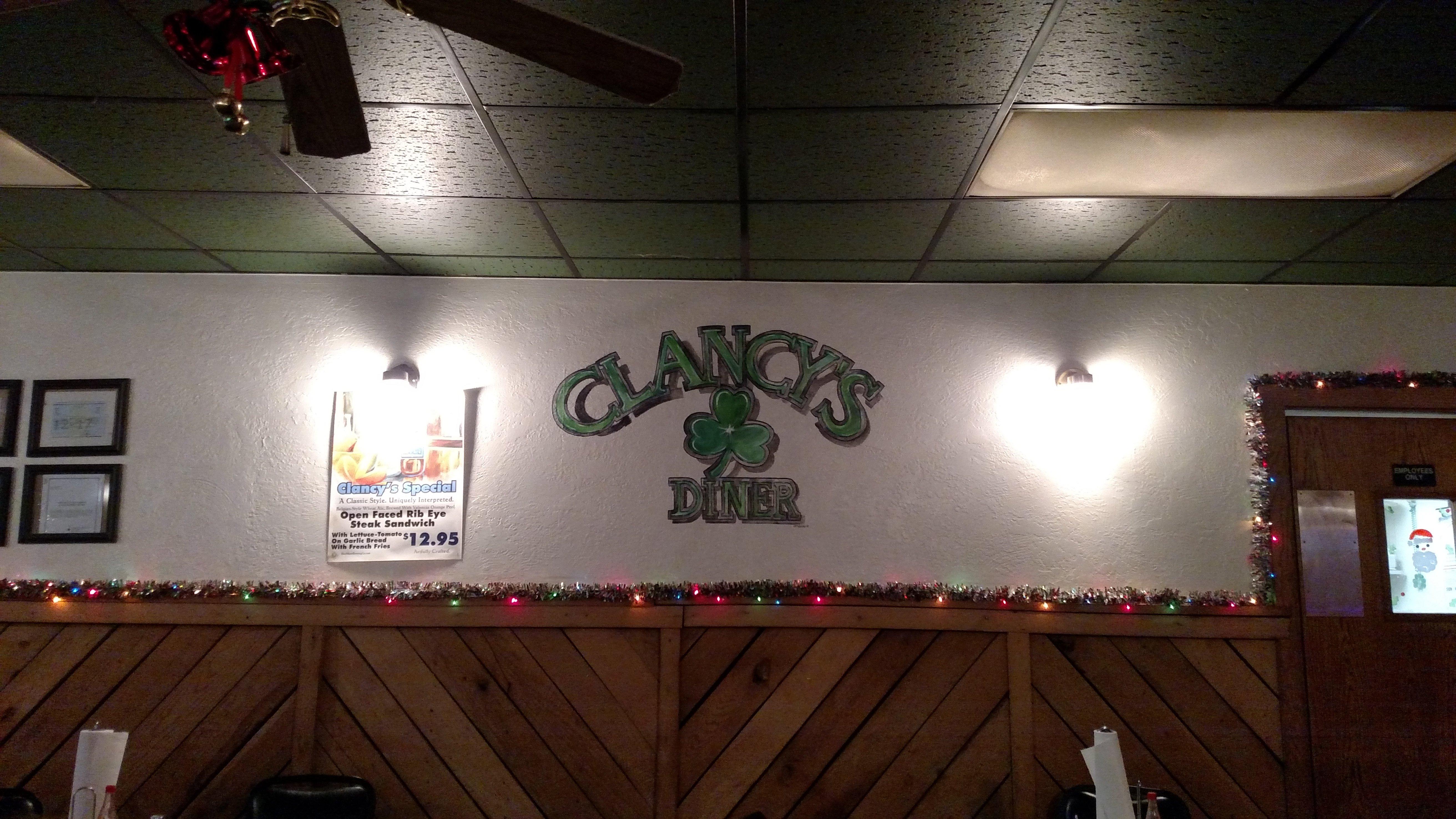
Dine and drink
Eat and drink your way through town.
Places to stay
Hang your (vacation) hat in a place that’s just your style.
Advertisement


