


Vernonia, OR
Advertisement
Vernonia, OR Map
Vernonia is a US city in Columbia County in the state of Oregon. Located at the longitude and latitude of -123.189167, 45.859722 and situated at an elevation of 630 meters. In the 2020 United States Census, Vernonia, OR had a population of 2,374 people. Vernonia is in the Pacific Standard Time timezone at Coordinated Universal Time (UTC) -8. Find directions to Vernonia, OR, browse local businesses, landmarks, get current traffic estimates, road conditions, and more.
Vernonia, nestled in the scenic Pacific Northwest, is a charming city known for its rich logging history and beautiful natural surroundings. Originally established in the late 19th century as a timber town, Vernonia has evolved into a quaint destination that attracts visitors with its small-town charm and outdoor recreational opportunities. The Vernonia Pioneer Museum offers a glimpse into the city’s past, showcasing artifacts and exhibits that tell the story of its logging heritage. Outdoor enthusiasts are drawn to the Banks-Vernonia State Trail, a 21-mile rail-to-trail path ideal for hiking, biking, and horseback riding, winding through lush forests and picturesque landscapes.
Another notable spot is Vernonia Lake, a serene body of water perfect for fishing, kayaking, or simply enjoying a leisurely picnic by the shore. The city also hosts various community events throughout the year, including the popular Vernonia Friendship Jamboree and Logging Show, which celebrates the town's logging roots with festivities and competitions. The quaint downtown area features local shops and eateries that offer a taste of Vernonia’s welcoming spirit. With its blend of history, natural beauty, and community-focused activities, Vernonia provides a peaceful retreat for those looking to explore Oregon’s less-traveled paths.
Nearby cities include: Timber, OR, Warren, OR, Scappoose, OR, Clatskanie, OR, Deer Island, OR, Banks, OR, Columbia City, OR, Prescott, OR, Kalama, WA, Rainier, OR.
Places in Vernonia
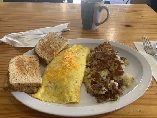
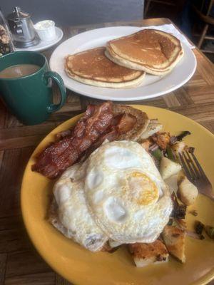
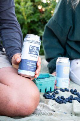
Dine and drink
Eat and drink your way through town.


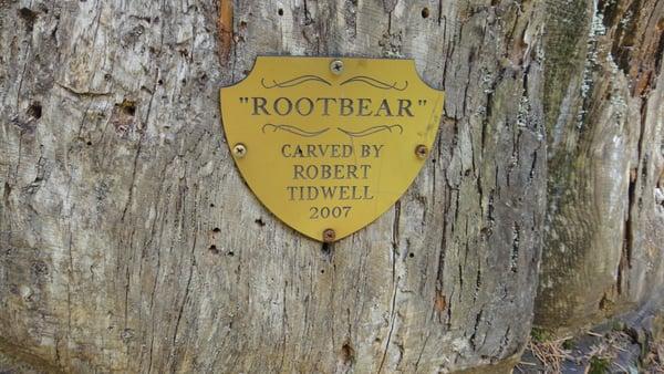
Can't-miss activities
Culture, natural beauty, and plain old fun.


Places to stay
Hang your (vacation) hat in a place that’s just your style.
Advertisement