Albany, OR
Advertisement
Albany Map
Albany is the eleventh largest city in the U.S. state of Oregon, and is the county seat of Linn County. It is located in the Willamette Valley at the confluence of the Calapooia River and the Willamette River in both Linn and Benton counties, just east of Corvallis and south of Salem. It is largely a farming and manufacturing based city. Settlers founded the community in 1848. As of the 2010 United States Census, the population of Albany is 50,158 making it the 3rd fastest growing city in Oregon at 22.8% growth behind Bend (47.3%) and Hillsboro (30.5%)
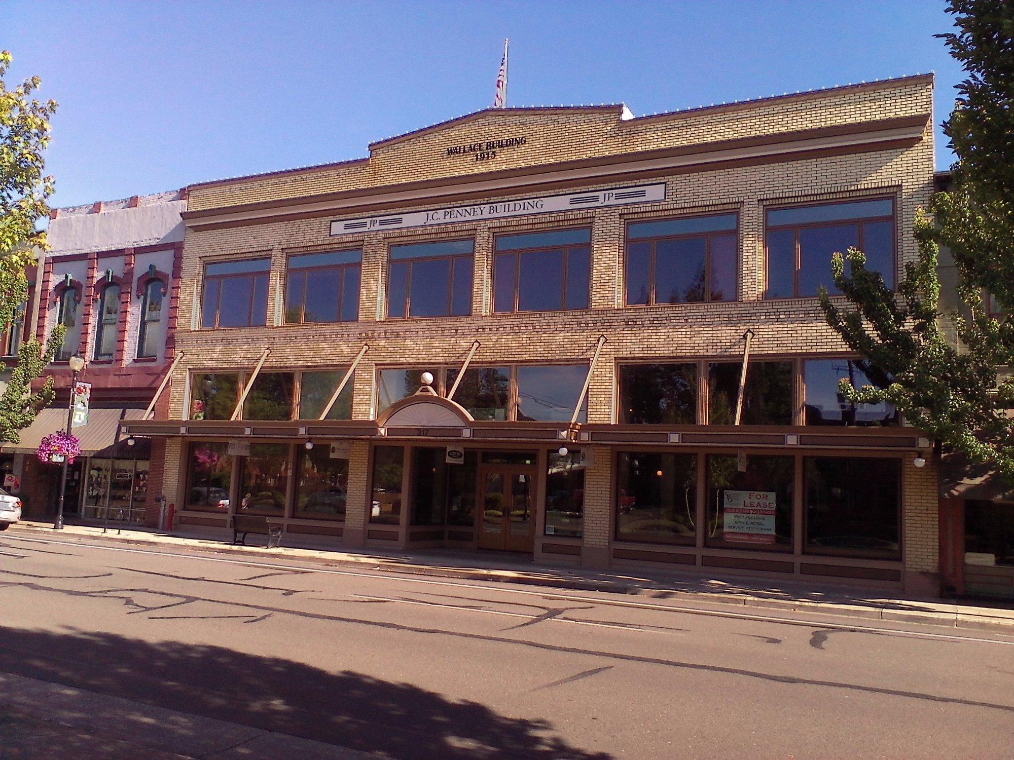
Albany has a home rule charter and is a Council-Manager management style to the municipality where the full time unelected City Manager administers the day-to-day operations and affairs of the city for the Council and is the administrative head of the city. The city provides the population with access to over 30 parks and trails along with running the senior center and many cultural events such as River Rhythms and Mondays at Monteith. On top of having a large farming and manufacturing base the city largely depends on Retail trade, Health care & social assistance to drive its economic structure. In recent years the city has taken great efforts to revive the downtown shopping area, with help from The Central Albany Revitalization Area (CARA), in to a major portion of the economy.
Prior to the arrival of the first European settlers to the area of the Willamette Valley that makes up modern day Albany was inhabited by one of the tribes of the Kalapuya, a Penutian-speaking, Native American people. The Kalapuya had named the area Takenah. a Kalapuyan word used to describe the deep pool where the Calapooia River meets the Willamette River. A variation of the place name can also be written as Tekenah.
Nearby cities include Lebanon, Shedd, Scio, Philomath, Halsey.
Places in Albany
Dine and drink
Eat and drink your way through town.
Can't-miss activities
Culture, natural beauty, and plain old fun.
Places to stay
Hang your (vacation) hat in a place that’s just your style.
Advertisement


