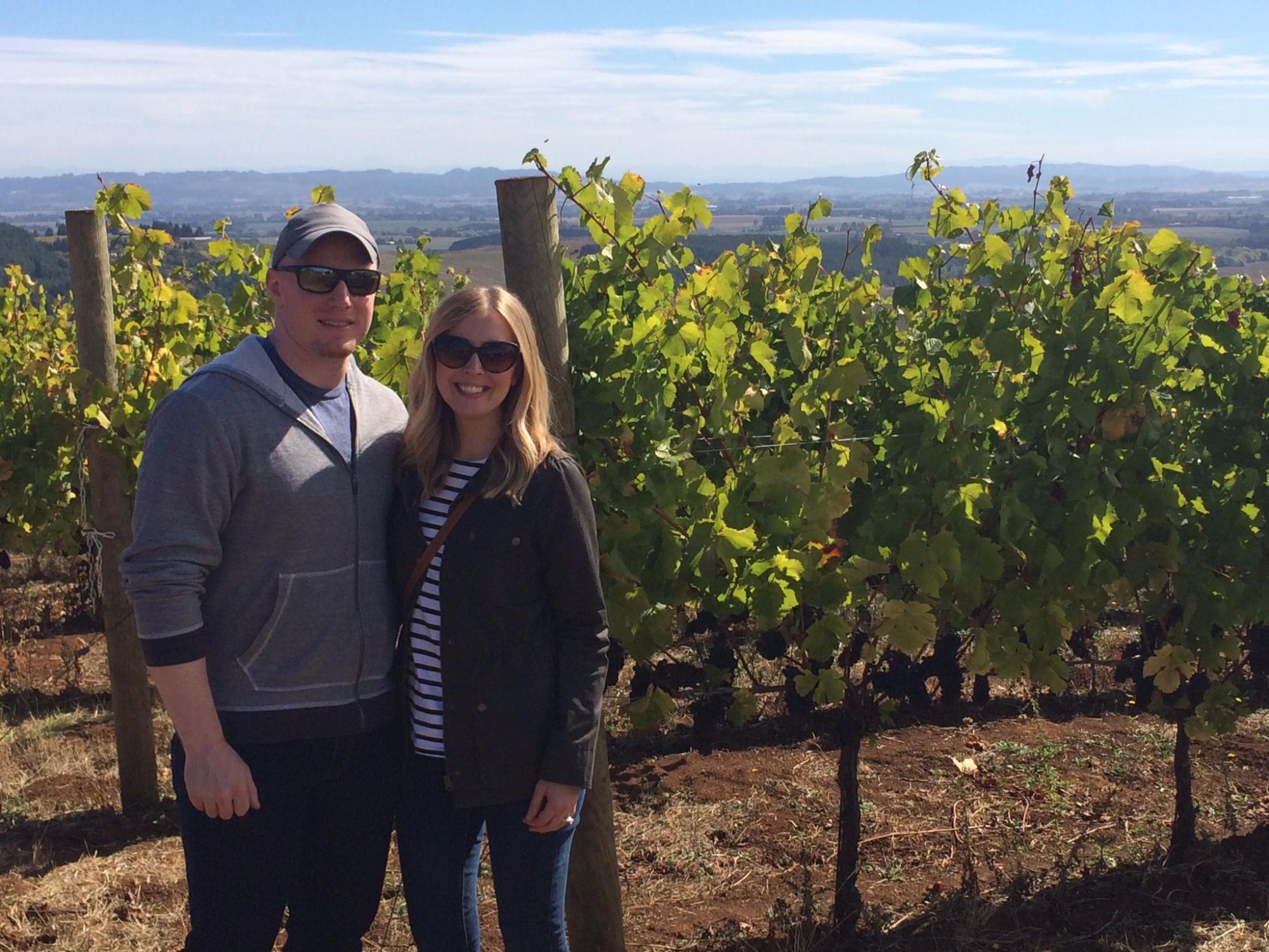
Willamina, OR
Advertisement
Willamina, OR Map
Willamina is a US city in Yamhill County in the state of Oregon. Located at the longitude and latitude of -123.485061, 45.076805 and situated at an elevation of 68 meters. In the 2020 United States Census, Willamina, OR had a population of 2,239 people. Willamina is in the Pacific Standard Time timezone at Coordinated Universal Time (UTC) -8. Find directions to Willamina, OR, browse local businesses, landmarks, get current traffic estimates, road conditions, and more.
Willamina, Oregon, is a small city known for its rich history in the timber industry. Often referred to as the "Timber Town," Willamina has roots deeply embedded in logging and sawmilling, which played a pivotal role in its development. The city is nestled in a picturesque setting, surrounded by lush forests that speak to its logging heritage. Visitors can explore the Willamina Museum of Local History, which offers a glimpse into the city’s past through a collection of artifacts and exhibits that detail the life and times of this industrious community.
Beyond its historical significance, Willamina is a gateway to the natural beauty of the Pacific Northwest. The city is home to various parks and outdoor spaces, providing ample opportunities for hiking, picnicking, and enjoying the serene environment. Huddleston Pond is a popular spot for fishing and family outings, offering a peaceful retreat for locals and visitors alike. The cultural fabric of Willamina is also enriched by its annual events, which celebrate the community's heritage and foster a strong sense of camaraderie among its residents.
Nearby cities include: Sheridan, OR, Grand Ronde, OR, Dallas, OR, Amity, OR, Falls City, OR, Rickreall, OR, McMinnville, OR, Monmouth, OR, Independence, OR, Carlton, OR.
Places in Willamina
Dine and drink
Eat and drink your way through town.
Can't-miss activities
Culture, natural beauty, and plain old fun.
Places to stay
Hang your (vacation) hat in a place that’s just your style.
Advertisement


