Myrtle Point, OR
Advertisement
Myrtle Point, OR Map
Myrtle Point is a US city in Coos County in the state of Oregon. Located at the longitude and latitude of -124.138889, 43.064722 and situated at an elevation of 40 meters. In the 2020 United States Census, Myrtle Point, OR had a population of 2,475 people. Myrtle Point is in the Pacific Standard Time timezone at Coordinated Universal Time (UTC) -8. Find directions to Myrtle Point, OR, browse local businesses, landmarks, get current traffic estimates, road conditions, and more.
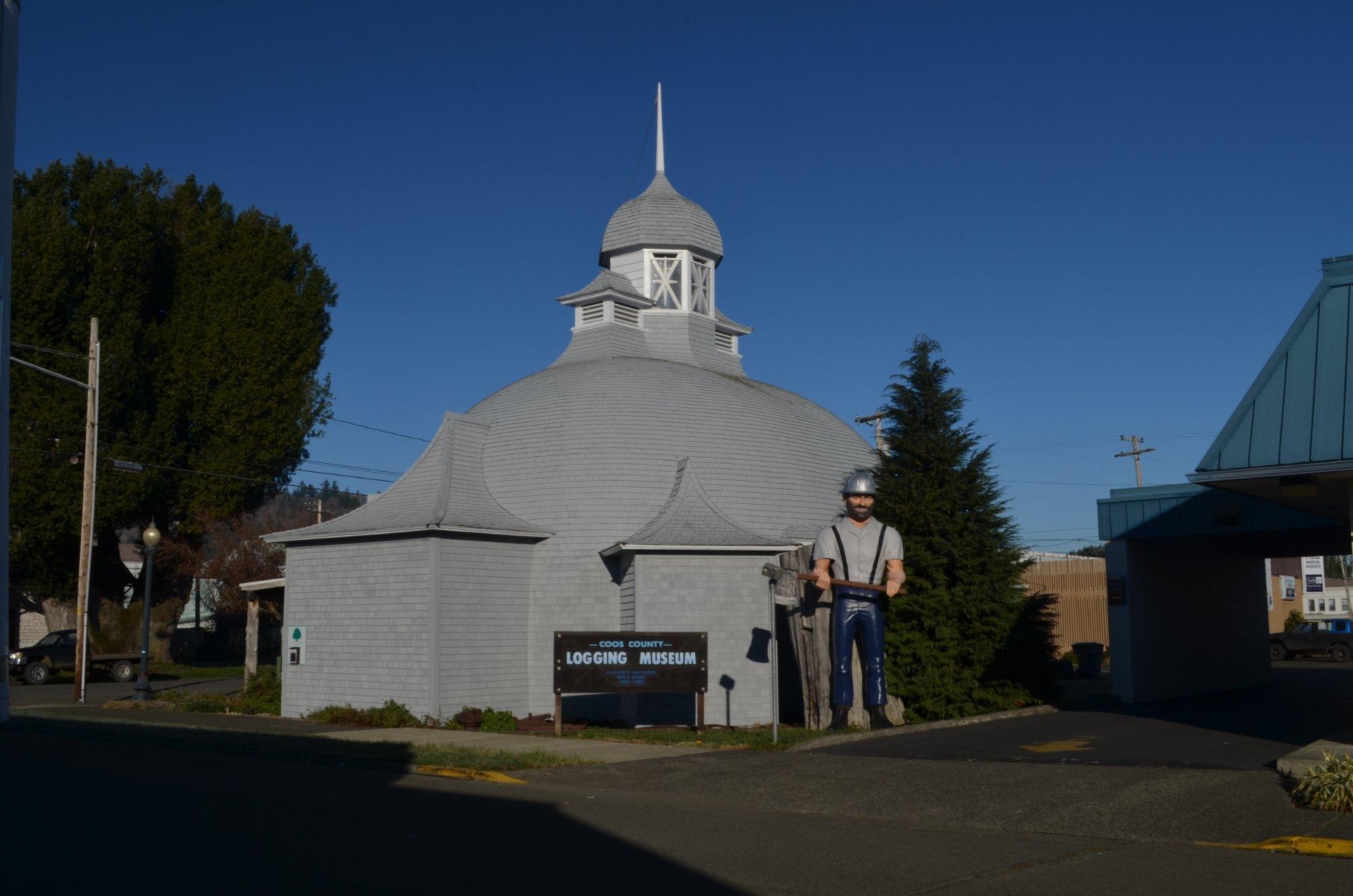
Myrtle Point, nestled in the scenic landscapes of southwestern Oregon, is a quaint city known for its charm and rich history. This city offers a glimpse into the past with its well-preserved architecture and the Coos County Logging Museum, a popular attraction that showcases the area's logging heritage with fascinating exhibits and artifacts. Myrtle Point's history dates back to the late 19th century, and it still retains a small-town feel that resonates with visitors looking for a peaceful retreat. The city is also recognized for its vibrant community events, such as the annual Coos County Fair, which features traditional fair attractions, local crafts, and agricultural exhibits, drawing visitors from across the region.
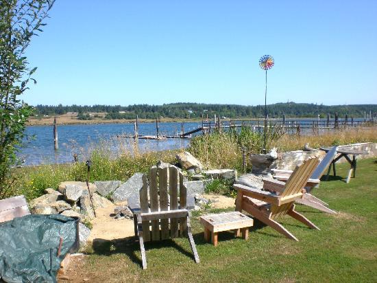
Nature enthusiasts will appreciate the proximity to the Coquille River, providing opportunities for fishing, kayaking, and enjoying the serene natural surroundings. For those looking to explore local culture, the city's downtown area offers a selection of charming shops and eateries that reflect the community's warm hospitality. Myrtle Point is a destination where history and nature seamlessly blend, offering a unique experience for travelers seeking to explore the heart of Oregon's rural landscape.
Nearby cities include: Coquille, OR, Powers, OR, Bandon, OR, Langlois, OR, Coos Bay, OR, North Bend, OR, Port Orford, OR, Lakeside, OR, Dillard, OR, Winston, OR.
Places in Myrtle Point
Dine and drink
Eat and drink your way through town.
Can't-miss activities
Culture, natural beauty, and plain old fun.
Places to stay
Hang your (vacation) hat in a place that’s just your style.
Advertisement


