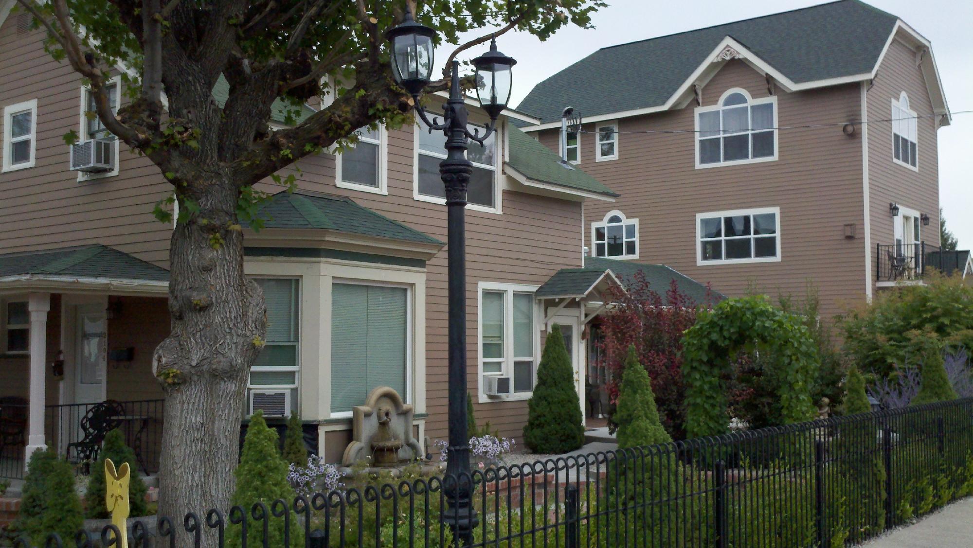
Baker City, OR
Advertisement
Baker City, OR Map
Baker City is a US city in Baker County in the state of Oregon. Located at the longitude and latitude of -117.834444, 44.775000 and situated at an elevation of 1,052 meters. In the 2020 United States Census, Baker City, OR had a population of 10,099 people. Baker City is in the Pacific Standard Time timezone at Coordinated Universal Time (UTC) -8. Find directions to Baker City, OR, browse local businesses, landmarks, get current traffic estimates, road conditions, and more.
Baker City, located in eastern Oregon, is renowned for its rich history tied to the Oregon Trail and its vibrant gold mining past. Established in the 1860s, the city became a central hub during the Gold Rush era. Today, Baker City preserves much of its historic charm, with a well-preserved downtown area that features beautiful Victorian architecture and the iconic Geiser Grand Hotel, a testament to its opulent past. The National Historic Oregon Trail Interpretive Center, located just outside the city, offers visitors a comprehensive look at the hardships and triumphs of the pioneers who traveled westward.
Among the popular attractions within Baker City is the Baker Heritage Museum, which showcases the region's history through fascinating exhibits ranging from Native American artifacts to displays on the mining industry that once thrived in the area. Outdoor enthusiasts can explore the nearby Elkhorn Mountains or take a scenic drive along the Hells Canyon Scenic Byway. The city's annual events, such as the Miners Jubilee, celebrate its mining legacy and bring the community together for a variety of festivities. Baker City's unique blend of history, culture, and natural beauty makes it a distinctive destination in the Pacific Northwest.
Nearby cities include: Haines, OR, Sumpter, OR, North Powder, OR, Granite, OR, Unity, OR, Unity, OR, Union, OR, Richland, OR, Cove, OR, Halfway, OR.
Places in Baker City
Dine and drink
Eat and drink your way through town.
Can't-miss activities
Culture, natural beauty, and plain old fun.
Places to stay
Hang your (vacation) hat in a place that’s just your style.
Advertisement


