Watonga, OK
Advertisement
Watonga, OK Map
Watonga is a US city in Blaine County in the state of Oklahoma. Located at the longitude and latitude of -98.411667, 35.849167 and situated at an elevation of 462 meters. In the 2020 United States Census, Watonga, OK had a population of 2,690 people. Watonga is in the Central Standard Time timezone at Coordinated Universal Time (UTC) -6. Find directions to Watonga, OK, browse local businesses, landmarks, get current traffic estimates, road conditions, and more.
Watonga, Oklahoma, is a charming city best known for its rich agricultural heritage and the annual Watonga Cheese Festival, which draws visitors from across the region to celebrate the town's cheese-making history. The festival offers a delightful array of cheese-centric activities, including tastings, cooking contests, and live entertainment. Watonga's history is deeply rooted in the land run of 1892, which played a significant role in its development. The city also boasts a number of historic buildings, including the Ferguson Chapel, which is a testament to its storied past.
For those looking to explore the natural beauty of the area, Roman Nose State Park is a must-visit destination. Located just a short drive from the city center, the park offers a range of outdoor activities such as hiking, fishing, and golfing, set against the backdrop of stunning gypsum rock cliffs and natural springs. Visitors can also enjoy a stay at the Roman Nose Lodge, which provides comfortable accommodations and easy access to the park's amenities. Watonga's blend of history, culture, and natural attractions makes it a unique and inviting destination for travelers seeking a taste of authentic Oklahoma.
Nearby cities include: Greenfield, OK, Hitchcock, OK, Fay, OK, Geary, OK, Canton, OK, Oakwood, OK, Loyal, OK, Okeene, OK, Thomas, OK, Bridgeport, OK.
Places in Watonga
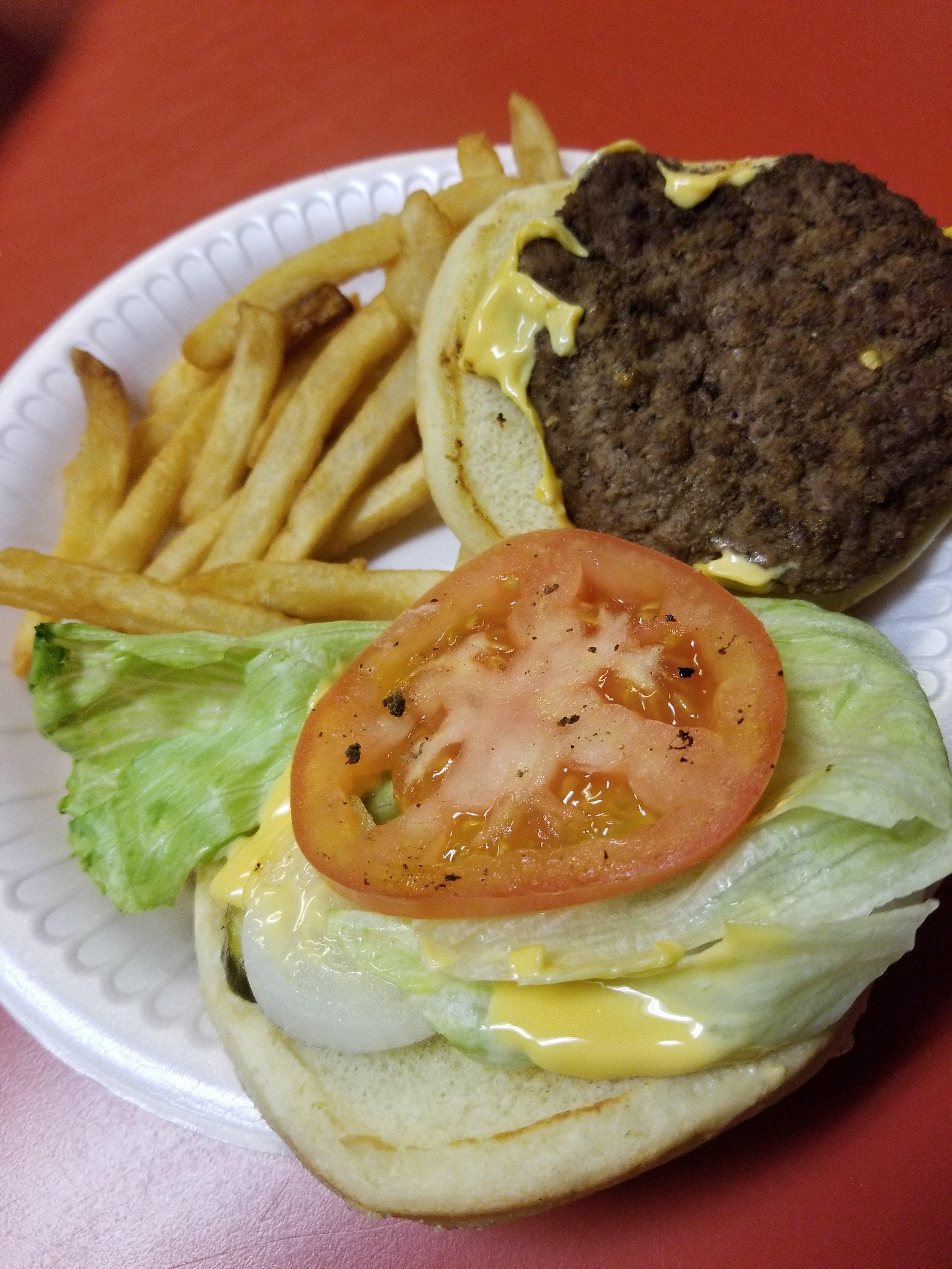
Dine and drink
Eat and drink your way through town.
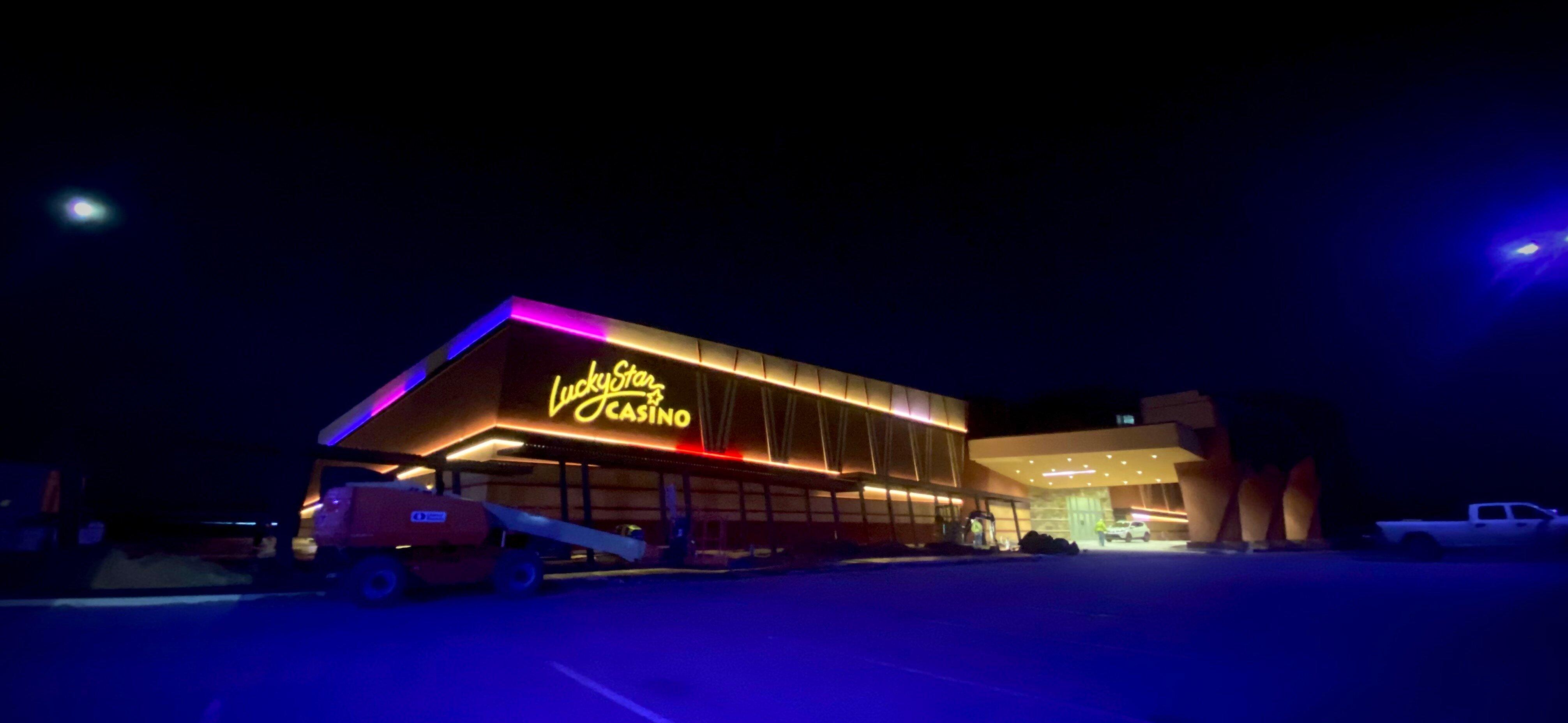
Can't-miss activities
Culture, natural beauty, and plain old fun.
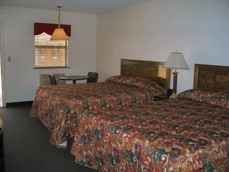
Places to stay
Hang your (vacation) hat in a place that’s just your style.
Advertisement


