Sayre, OK
Advertisement
Sayre, OK Map
Sayre is a US city in Beckham County in the state of Oklahoma. Located at the longitude and latitude of -99.636667, 35.298889 and situated at an elevation of 551 meters. In the 2020 United States Census, Sayre, OK had a population of 4,809 people. Sayre is in the Central Standard Time timezone at Coordinated Universal Time (UTC) -6. Find directions to Sayre, OK, browse local businesses, landmarks, get current traffic estimates, road conditions, and more.
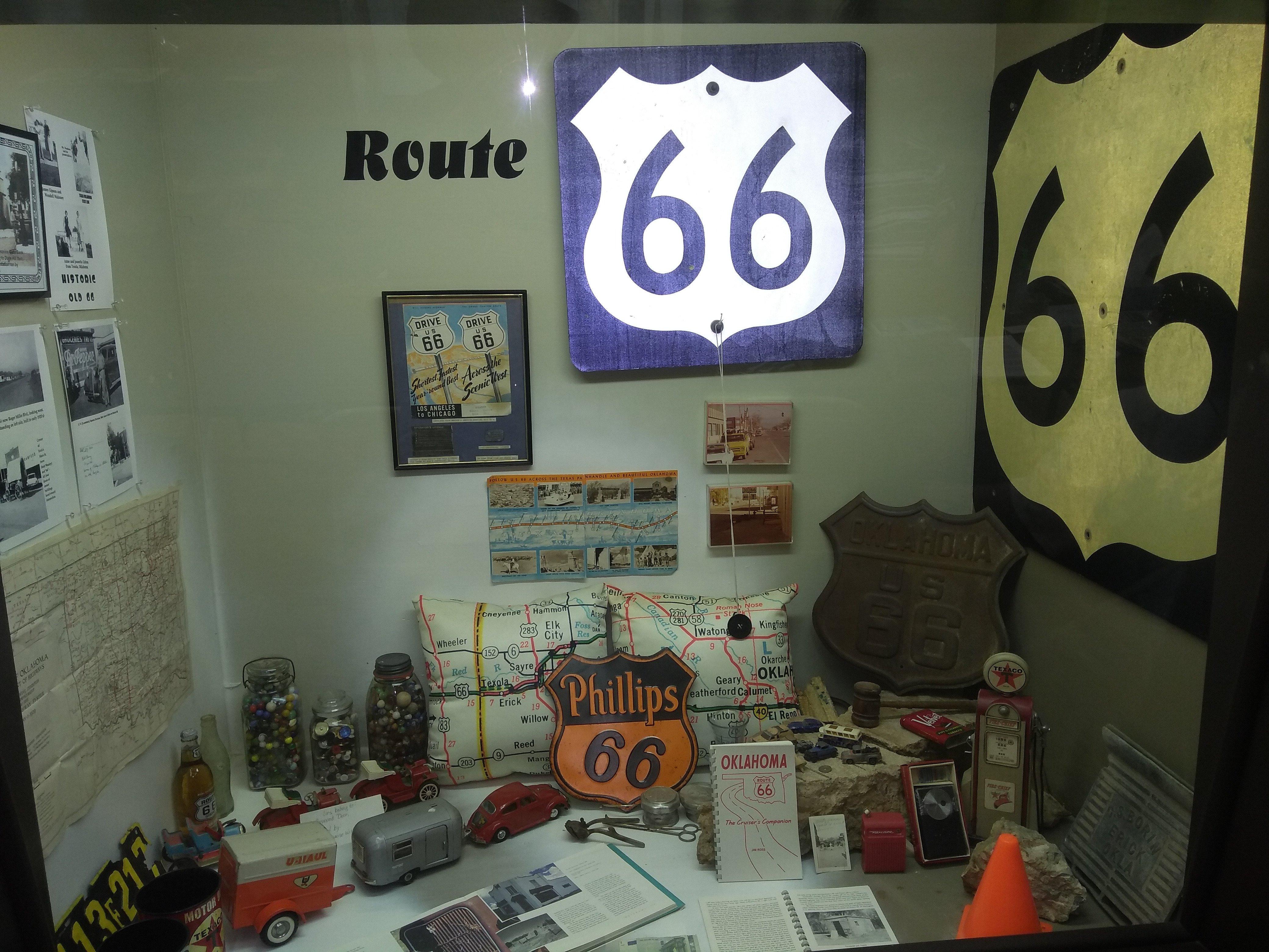
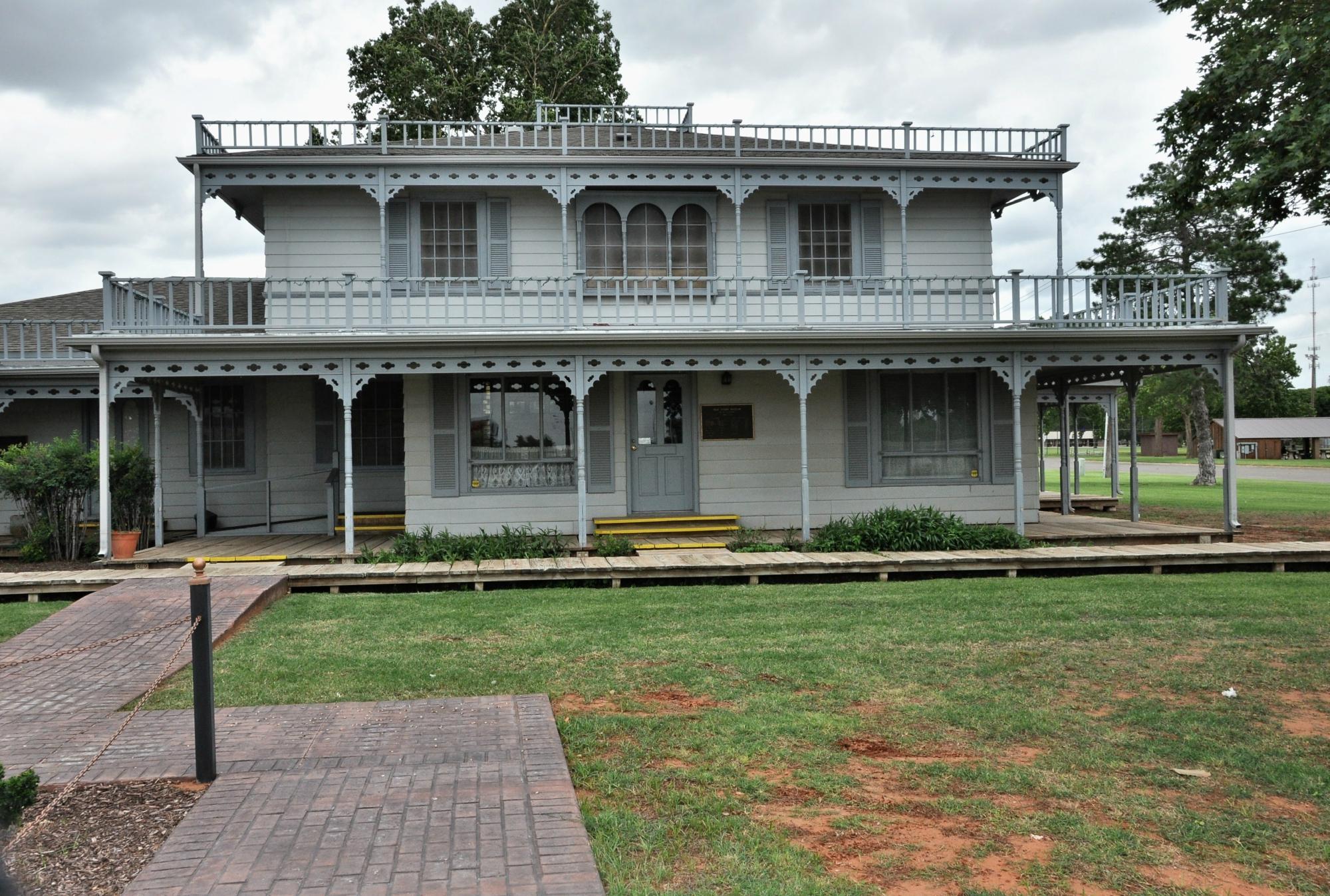
Sayre, located in Oklahoma, is a city that embodies the quintessential charm of small-town America while offering insights into the rich history of the region. It is known for its connection to the iconic Route 66, which brings a sense of nostalgia and a touch of the past to its streets. Visitors often explore the Sayre Historical Society Museum, which showcases artifacts and exhibits that delve into the area's cultural and historical heritage. Another notable landmark is the Beckham County Courthouse, an architectural gem that has stood since 1911, offering a glimpse into the early 20th-century civic architecture.
For those seeking outdoor activities, Sayre City Park provides a serene environment with opportunities for picnicking, walking, and enjoying the natural beauty of Oklahoma. The park is a popular spot for both locals and visitors who wish to unwind amidst nature. Sayre’s history is deeply tied to the development of transportation routes, and its significance during the era of westward expansion is still visible today. This city, while modest in size, offers a unique blend of history, culture, and community spirit to all who visit.
Nearby cities include: Carter, OK, Elk City, OK, Erick, OK, Sweetwater, OK, Willow, OK, Texola, OK, Cheyenne, OK, Canute, OK, Strong City, OK, Burns Flat, OK.
Places in Sayre
Can't-miss activities
Culture, natural beauty, and plain old fun.
Places to stay
Hang your (vacation) hat in a place that’s just your style.
Advertisement


