Picher, OK
Advertisement
Picher Map
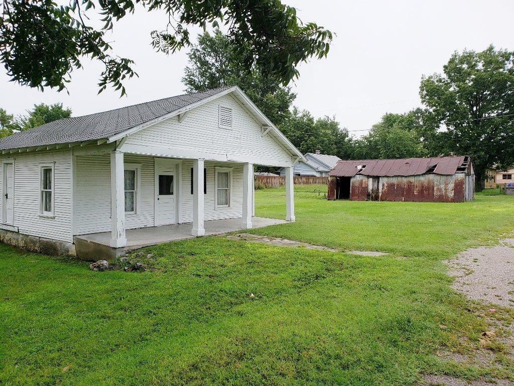
Picher is a ghost town and former city in Ottawa County, Oklahoma, United States. It was formerly a center of lead and zinc mining. Discoveries of ground contamination and the possibility of a cave-in of mines under the city have prompted its population to evacuate, and the nearby town of Cardin is following suit. As a result, Picher's population plummeted from 1,640 at the 2000 census to 20 at the 2010 census. The city is within the boundaries of the Tar Creek Superfund site.
In 1913, as the Tri-State district expanded, lead and zinc ore was discovered on Harry Crawfish's claim and mining began. A townsite developed overnight around the new workings and was named Picher in honor of O. S. Picher, owner of Picher Lead Company. Incorporated in 1918, by 1920 Picher had a population of 9,726. Peak population occurred at 14,252 in 1926 followed by a gradual decline paralleling a decrease in mining activity, to 2,553 by 1960.
The Picher area became the most productive lead-zinc mining field in the Tri-State district producing over $20 billion worth of ore between 1917 and 1947. More than fifty percent of the lead and zinc metal used during World War I were produced by the Picher district. At its peak over 14,000 miners worked the mines and another 4,000 worked in mining services. Many of these workers commuted by an extensive trolley system from as far away as Joplin and Carthage, Missouri. Mining ceased in 1967 and water pumping from the mines ceased. The contaminated water from some 14,000 abandoned mine shafts, 70 million tons of mine tailings, and 36 million tons of mill sand and sludge remained as a huge environmental cleanup problem. The area became part of the Tar Creek Superfund site.
Nearby cities include Galena, Columbus, Wyandotte, Chetopa, Seneca.
Places in Picher
Dine and drink
Eat and drink your way through town.
Can't-miss activities
Culture, natural beauty, and plain old fun.
Places to stay
Hang your (vacation) hat in a place that’s just your style.
Advertisement


