Idabel, OK
Advertisement
Idabel, OK Map
Idabel is a US city in McCurtain County in the state of Oklahoma. Located at the longitude and latitude of -94.829167, 33.896389 and situated at an elevation of 144 meters. In the 2020 United States Census, Idabel, OK had a population of 6,961 people. Idabel is in the Central Standard Time timezone at Coordinated Universal Time (UTC) -6. Find directions to Idabel, OK, browse local businesses, landmarks, get current traffic estimates, road conditions, and more.
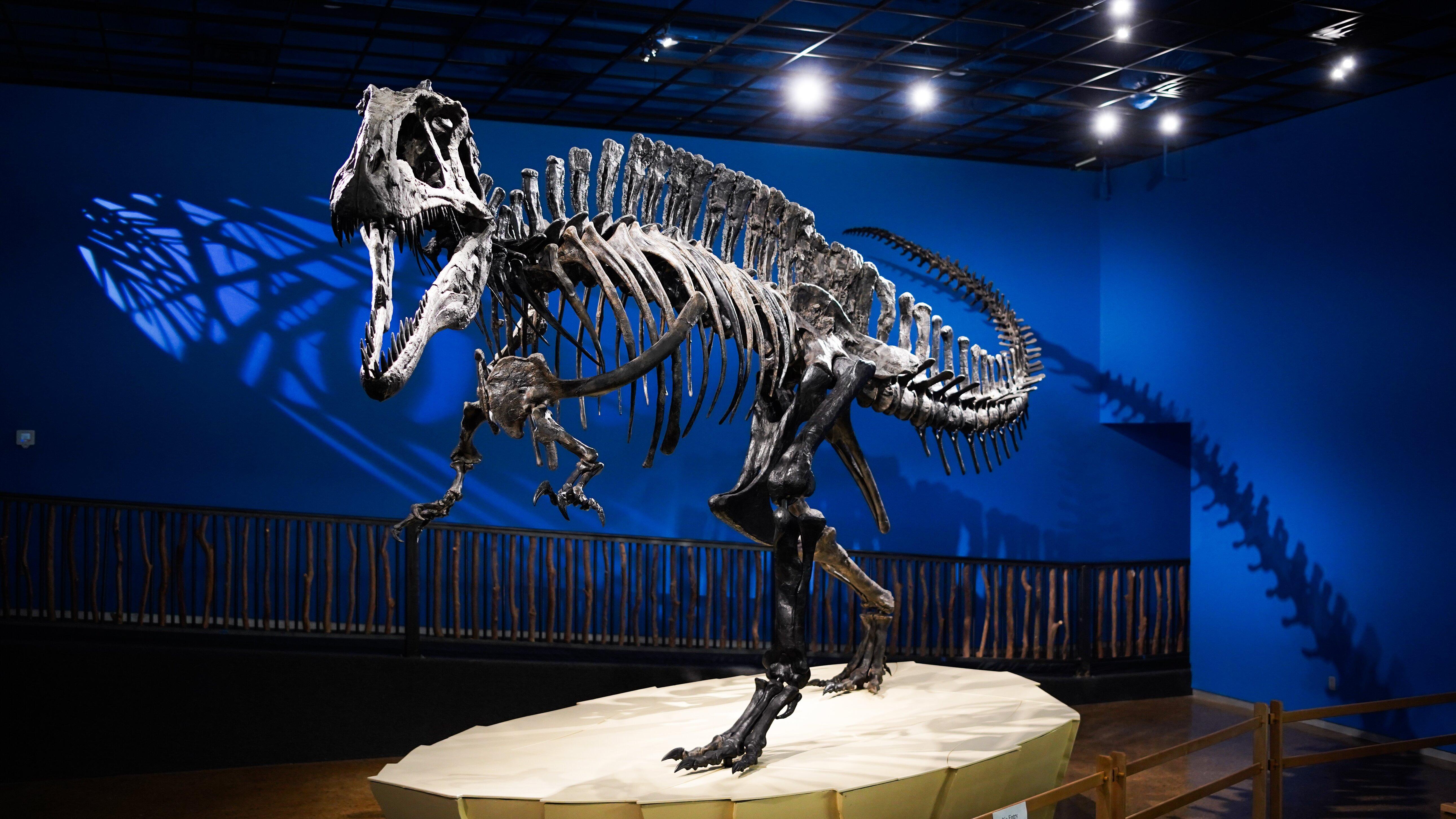
Idabel, located in the southeastern region of Oklahoma, is a city that may surprise visitors with its cultural richness and historical significance. Known primarily for the Museum of the Red River, Idabel offers a unique glimpse into the prehistoric and Native American artifacts that are significant to the region's history. The museum houses the largest collection of Caddo artifacts in existence, making it a must-visit for history enthusiasts. Additionally, Idabel is recognized for its close proximity to the lush landscapes of Beavers Bend State Park, where outdoor activities like hiking, fishing, and camping are popular among locals and visitors alike.
Historically, Idabel was established in the early 1900s and has roots tied to the timber industry, which played a crucial role in its development. The city's name is said to be a combination of the names Ida and Belle, the daughters of a railroad official, highlighting the influence of the railroad in its early growth. Today, Idabel continues to celebrate its heritage through various cultural events and local festivals, offering a welcoming atmosphere for those looking to explore the charm of a small American town rich in history and natural beauty.
Nearby cities include: Garvin, OK, Broken Bow, OK, Haworth, OK, Millerton, OK, Wright City, OK, Valliant, OK, Eagletown, OK, Annona, TX, Swink, OK, Clarksville, TX.
Places in Idabel
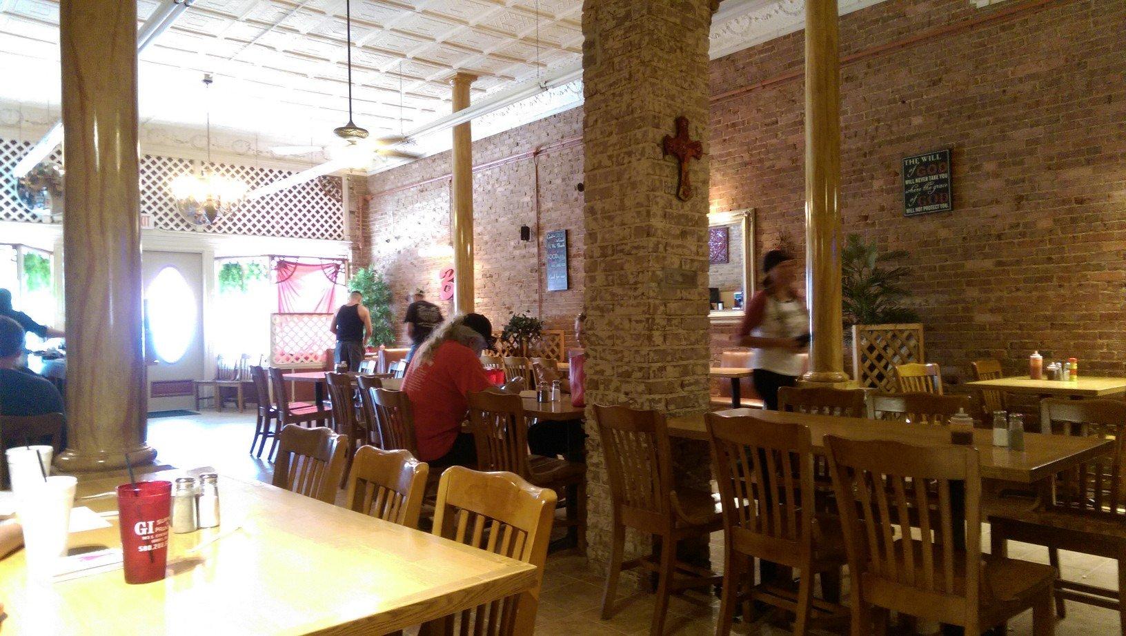
Dine and drink
Eat and drink your way through town.
Can't-miss activities
Culture, natural beauty, and plain old fun.
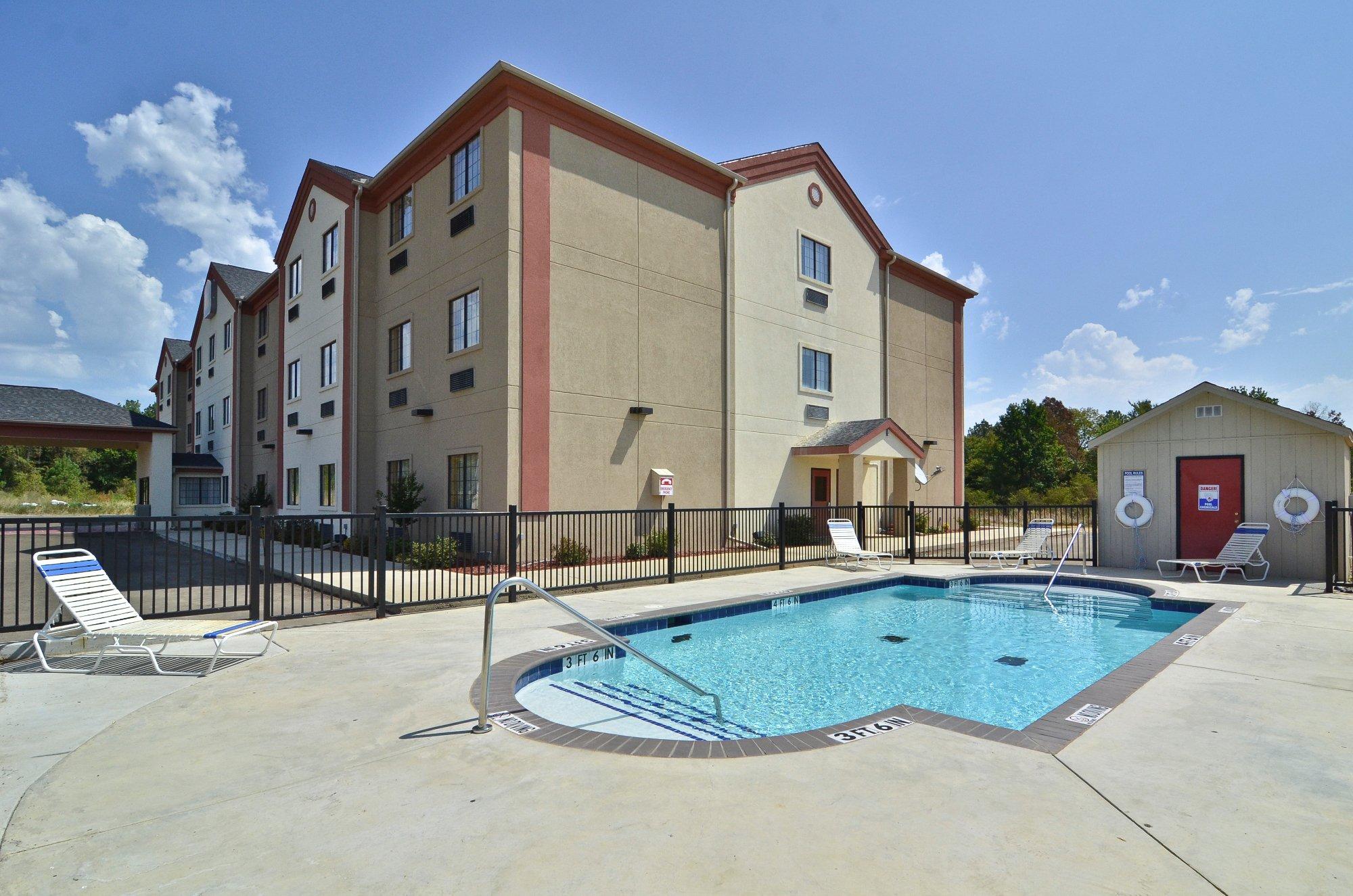
Places to stay
Hang your (vacation) hat in a place that’s just your style.
Advertisement


