Tuskahoma, OK
Advertisement
Tuskahoma, OK Map
Tuskahoma is a US city in Pushmataha County in the state of Oklahoma. Located at the longitude and latitude of -95.276667, 34.617778 and situated at an elevation of 600 meters. In the 2020 United States Census, Tuskahoma, OK had a population of 102 people. Tuskahoma is in the Central Standard Time timezone at Coordinated Universal Time (UTC) -6. Find directions to Tuskahoma, OK, browse local businesses, landmarks, get current traffic estimates, road conditions, and more.
Tuskahoma, a small yet culturally rich city in Oklahoma, is most renowned for its deep connections to the Choctaw Nation. It serves as a significant historical and cultural hub for the Choctaw people, with the Choctaw Capitol Museum being a notable landmark. This museum is housed in the historic Choctaw Capitol building, which dates back to the late 19th century and offers visitors a glimpse into the history and heritage of the Choctaw Nation. The annual Choctaw Labor Day Festival, held at the capitol grounds, is a vibrant celebration that attracts visitors for its cultural exhibitions, traditional dances, and community events.
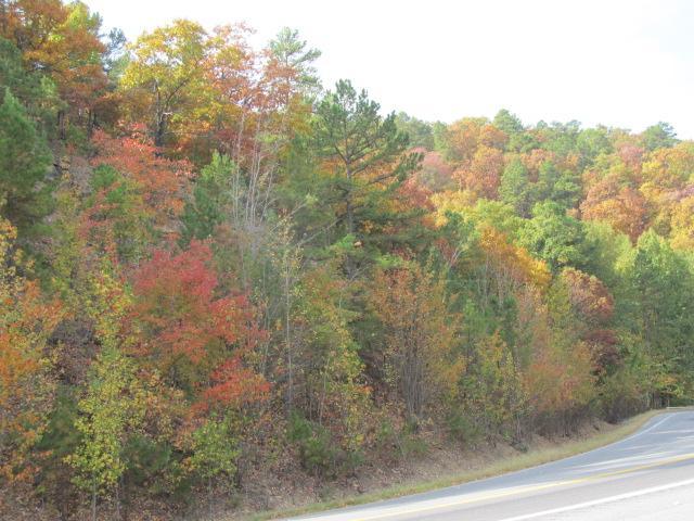
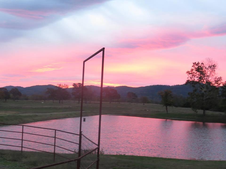
In addition to its cultural significance, Tuskahoma is surrounded by natural beauty, making it an appealing destination for outdoor enthusiasts. The nearby Kiamichi Mountains provide a picturesque backdrop and opportunities for hiking and exploring the scenic landscapes. Visitors can also enjoy the serene environment of Sardis Lake, which offers recreational activities such as fishing, boating, and camping. Whether you're interested in immersing yourself in Native American history or enjoying the tranquility of nature, Tuskahoma offers a unique experience that highlights the rich tapestry of Oklahoma's cultural and natural heritage.
Nearby cities include: Clayton, OK, Nashoba, OK, Albion, OK, Talihina, OK, Wilburton, OK, Hartshorne, OK, Whitesboro, OK, Finley, OK, Haileyville, OK, Le Flore, OK.
Places in Tuskahoma
Dine and drink
Eat and drink your way through town.
Can't-miss activities
Culture, natural beauty, and plain old fun.
Places to stay
Hang your (vacation) hat in a place that’s just your style.
Advertisement


