


Shady Point, OK
Advertisement
Shady Point, OK Map
Shady Point is a US city in Le Flore County in the state of Oklahoma. Located at the longitude and latitude of -94.659722, 35.128611 and situated at an elevation of 139 meters. In the 2020 United States Census, Shady Point, OK had a population of 972 people. Shady Point is in the Central Standard Time timezone at Coordinated Universal Time (UTC) -6. Find directions to Shady Point, OK, browse local businesses, landmarks, get current traffic estimates, road conditions, and more.
Shady Point, Oklahoma, is a small town characterized by its charming rural atmosphere and a close-knit community. The town is known for its scenic landscapes, offering a peaceful retreat with its lush greenery and gentle rolling hills. A notable site in Shady Point is the Shady Point Park, a local favorite for picnics and leisurely strolls, offering visitors a taste of the tranquil environment that defines the area. The town's history is deeply tied to the region's agricultural roots, with a legacy of farming and ranching that continues to influence its cultural and economic life.
Visitors to Shady Point often enjoy exploring the historical landmarks that dot the area, providing a glimpse into the town's past. One such place of interest is the Shady Point Historical Museum, where one can learn about the local heritage and the stories of the early settlers who shaped the community. The town also serves as a gateway for outdoor enthusiasts looking to explore the nearby natural attractions, making it a convenient base for those interested in hiking, fishing, and experiencing the serene beauty of Oklahoma's countryside.
Nearby cities include: Panama, OK, Poteau, OK, Cameron, OK, Spiro, OK, Bokoshe, OK, Rock Island, OK, Wister, OK, Howe, OK, Pocola, OK, Cowlington, OK.
Places in Shady Point
Dine and drink
Eat and drink your way through town.


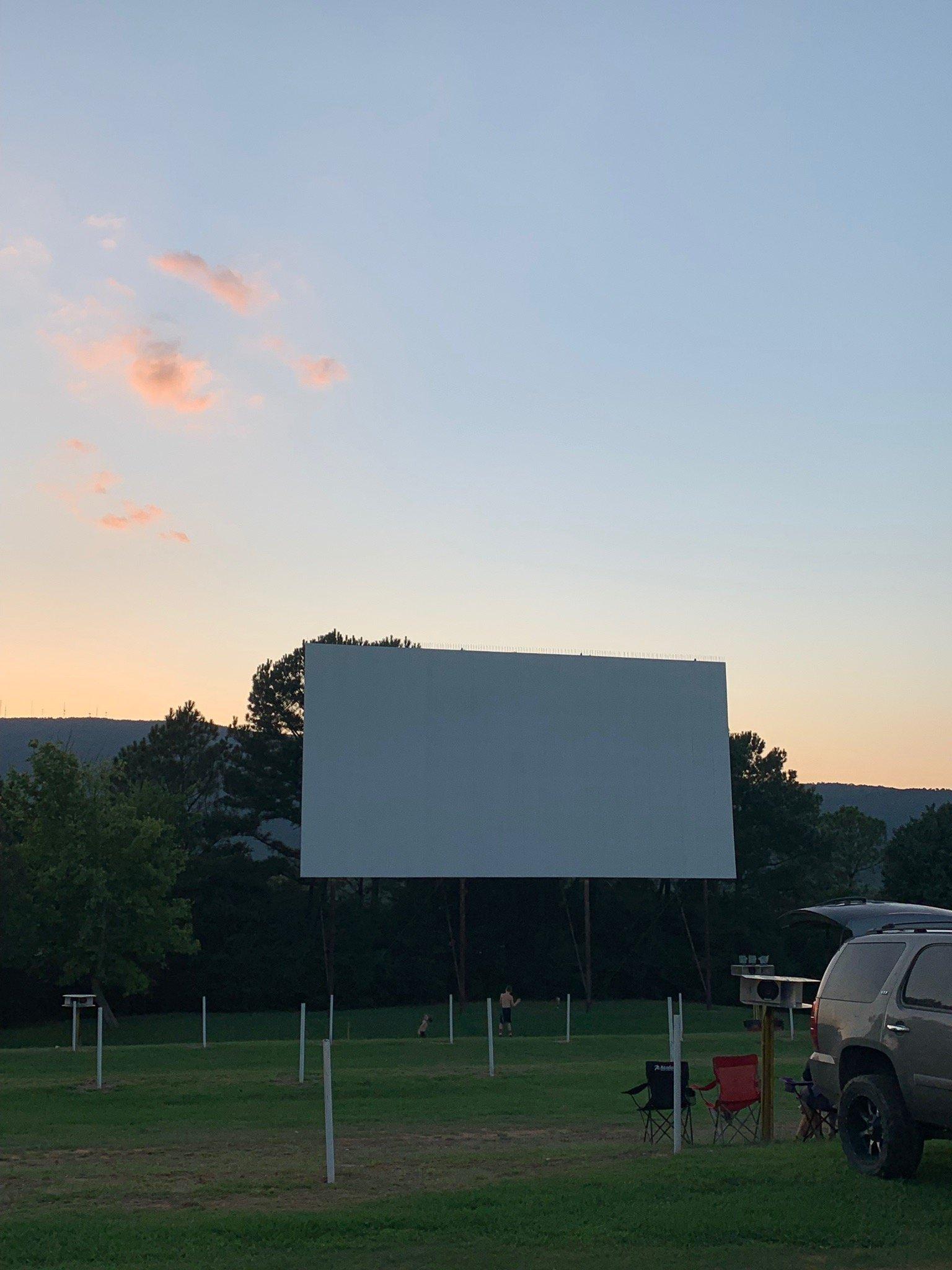
Can't-miss activities
Culture, natural beauty, and plain old fun.


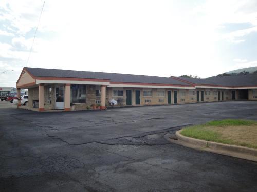
Places to stay
Hang your (vacation) hat in a place that’s just your style.


Advertisement