Holdenville, OK
Advertisement
Holdenville, OK Map
Holdenville is a US city in Hughes County in the state of Oklahoma. Located at the longitude and latitude of -96.400278, 35.084167 and situated at an elevation of 264 meters. In the 2020 United States Census, Holdenville, OK had a population of 5,934 people. Holdenville is in the Central Standard Time timezone at Coordinated Universal Time (UTC) -6. Find directions to Holdenville, OK, browse local businesses, landmarks, get current traffic estimates, road conditions, and more.
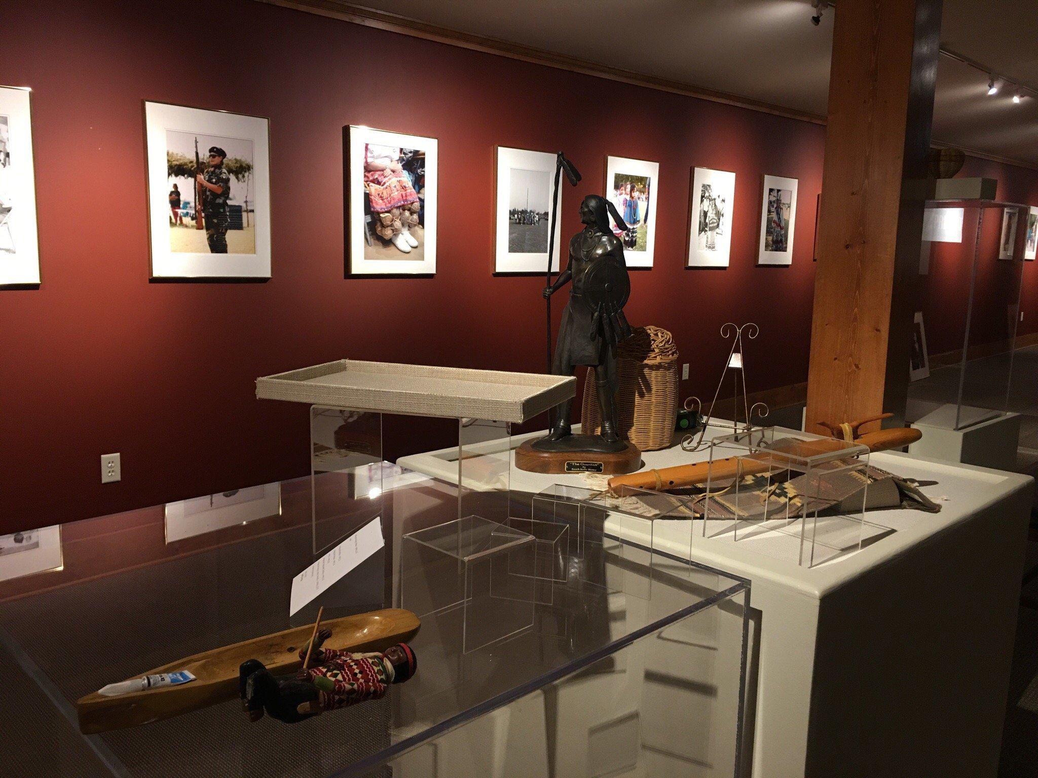
Holdenville, located in the state of Oklahoma, is a city that resonates with the charm of small-town America while holding a rich tapestry of history. Known primarily for its deep roots in Native American culture, Holdenville is home to the Creek and Seminole Nations, which significantly influence the cultural landscape of the city. Visitors often explore the Holdenville City Lake, a popular spot for fishing, boating, and picnicking, offering a serene escape into nature. The local history is well-preserved and celebrated, with the Hughes County Historical Society and Museum providing insights into the area's past, showcasing artifacts and exhibits that reflect the heritage and evolution of Holdenville.
A stroll through Holdenville reveals its quaint streets lined with locally-owned shops and diners that serve as a testament to the city's community spirit. The city's history is also marked by its role in the oil boom of the early 20th century, which brought economic growth and development. Architectural enthusiasts may appreciate the preserved historic buildings, including the courthouse and several churches, which reflect the city's rich historical narrative. Holdenville offers a unique glimpse into the harmonious blend of history, culture, and natural beauty, making it a quaint yet intriguing destination for those exploring Oklahoma.
Nearby cities include: Spaulding, OK, Yeager, OK, Wewoka, OK, Horntown, OK, Atwood, OK, Calvin, OK, Sasakwa, OK, Lima, OK, Wetumka, OK, Allen, OK.
Places in Holdenville
Dine and drink
Eat and drink your way through town.
Can't-miss activities
Culture, natural beauty, and plain old fun.
Places to stay
Hang your (vacation) hat in a place that’s just your style.
Advertisement


