Earlsboro, OK
Advertisement
Earlsboro, OK Map
Earlsboro is a US city in Pottawatomie County in the state of Oklahoma. Located at the longitude and latitude of -96.803350, 35.267570 and situated at an elevation of 312 meters. In the 2020 United States Census, Earlsboro, OK had a population of 594 people. Earlsboro is in the Central Standard Time timezone at Coordinated Universal Time (UTC) -6. Find directions to Earlsboro, OK, browse local businesses, landmarks, get current traffic estimates, road conditions, and more.
Earlsboro, Oklahoma, is a small city with a rich history rooted in the early 20th century oil boom that swept through the region. The town was originally established in 1891, named after a prominent railroad executive, and quickly flourished as an oil town when the discovery of oil in the 1920s brought prosperity and a surge in population. Though its heyday as a bustling oil hub has passed, Earlsboro retains a quiet charm that echoes its storied past.
Today, visitors to Earlsboro can explore its historical essence through local landmarks and small-town attractions. The city is known for its community-centered events that showcase its tight-knit atmosphere and local culture. While there are no major tourist attractions, the surrounding countryside offers scenic drives and opportunities for outdoor activities, providing a peaceful retreat into Oklahoma's rural heartland. The town's history and sense of community make it a unique stop for those exploring the region's past and present.
Nearby cities include: Tecumseh, OK, Seminole, OK, Shawnee, OK, Maud, OK, Brooksville, OK, Johnson, OK, Bowlegs, OK, Bethel Acres, OK, Lima, OK, Macomb, OK.
Places in Earlsboro
Dine and drink
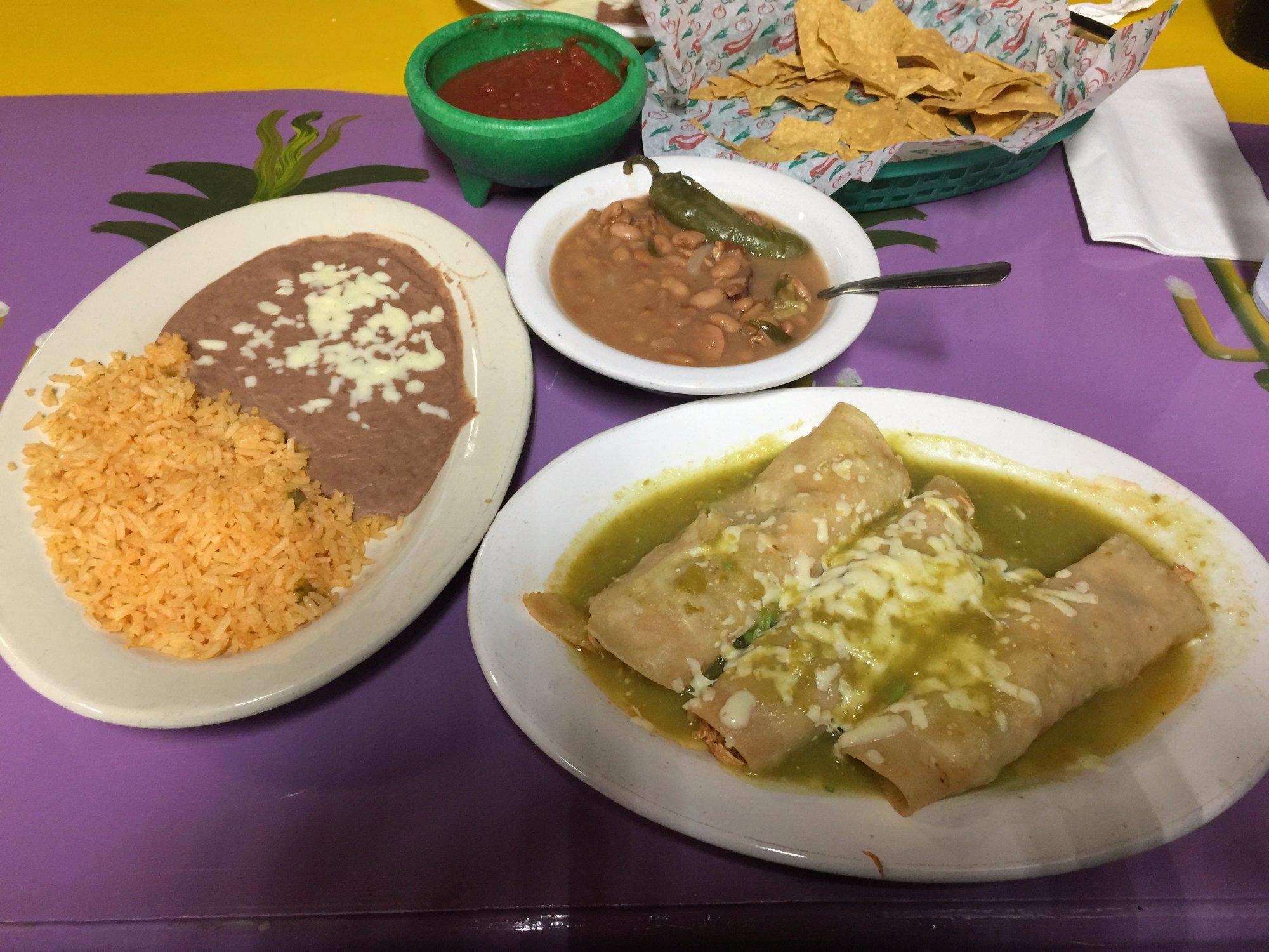
Eat and drink your way through town.
Can't-miss activities
Culture, natural beauty, and plain old fun.
Places to stay
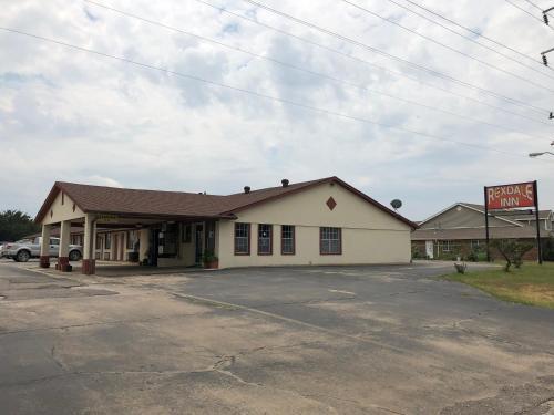
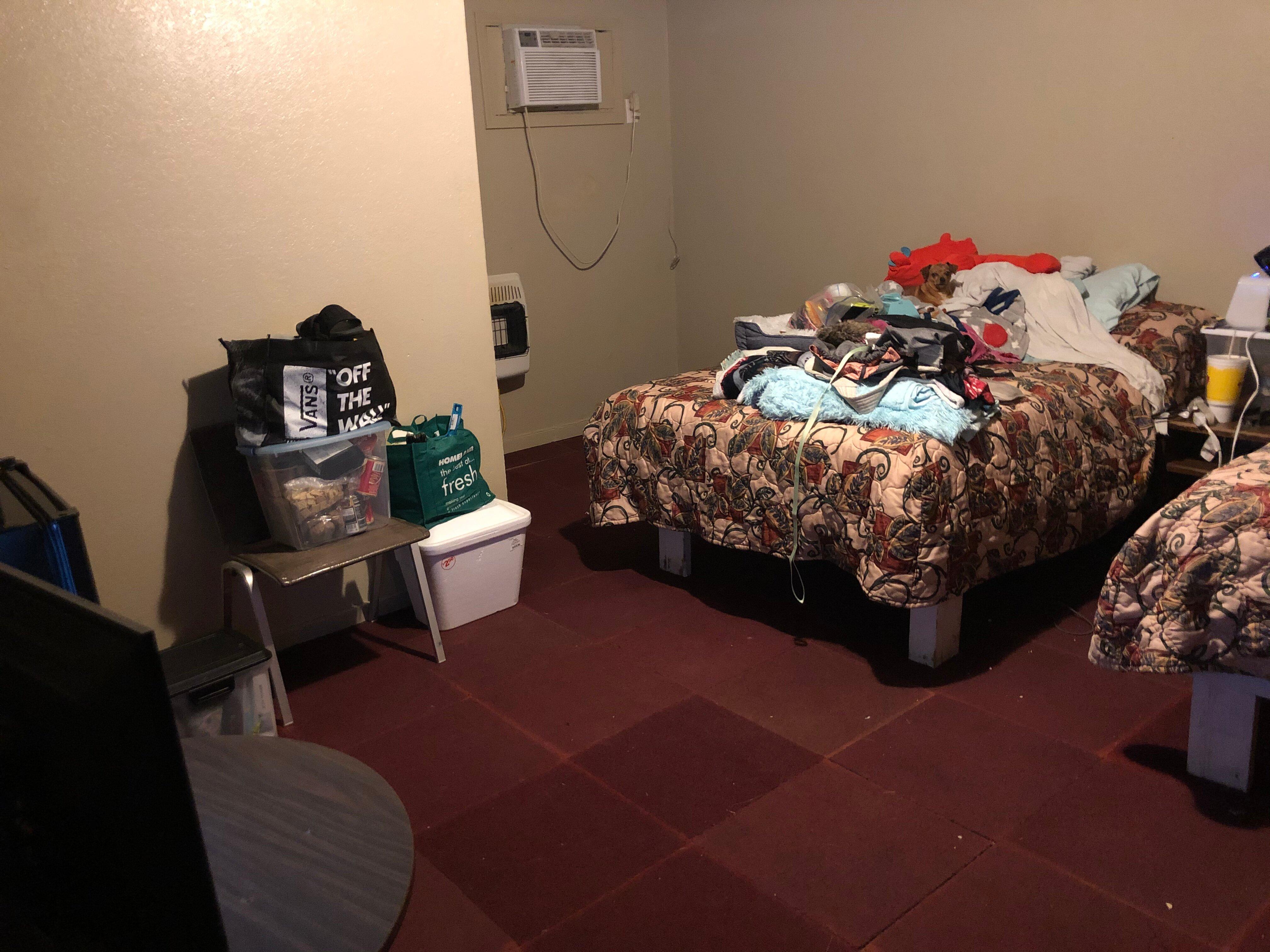
Hang your (vacation) hat in a place that’s just your style.
Advertisement


