Connerville, OK Map
Connerville is a US city in Johnston County in the state of Oklahoma. Located at the longitude and latitude of -96.636111, 34.447500 and situated at an elevation of 304 meters. In the 2020 United States Census, Connerville, OK had a population of 59 people. Connerville is in the Central Standard Time timezone at Coordinated Universal Time (UTC) -6. Find directions to Connerville, OK, browse local businesses, landmarks, get current traffic estimates, road conditions, and more.
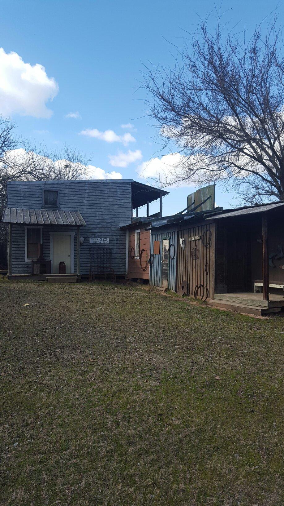
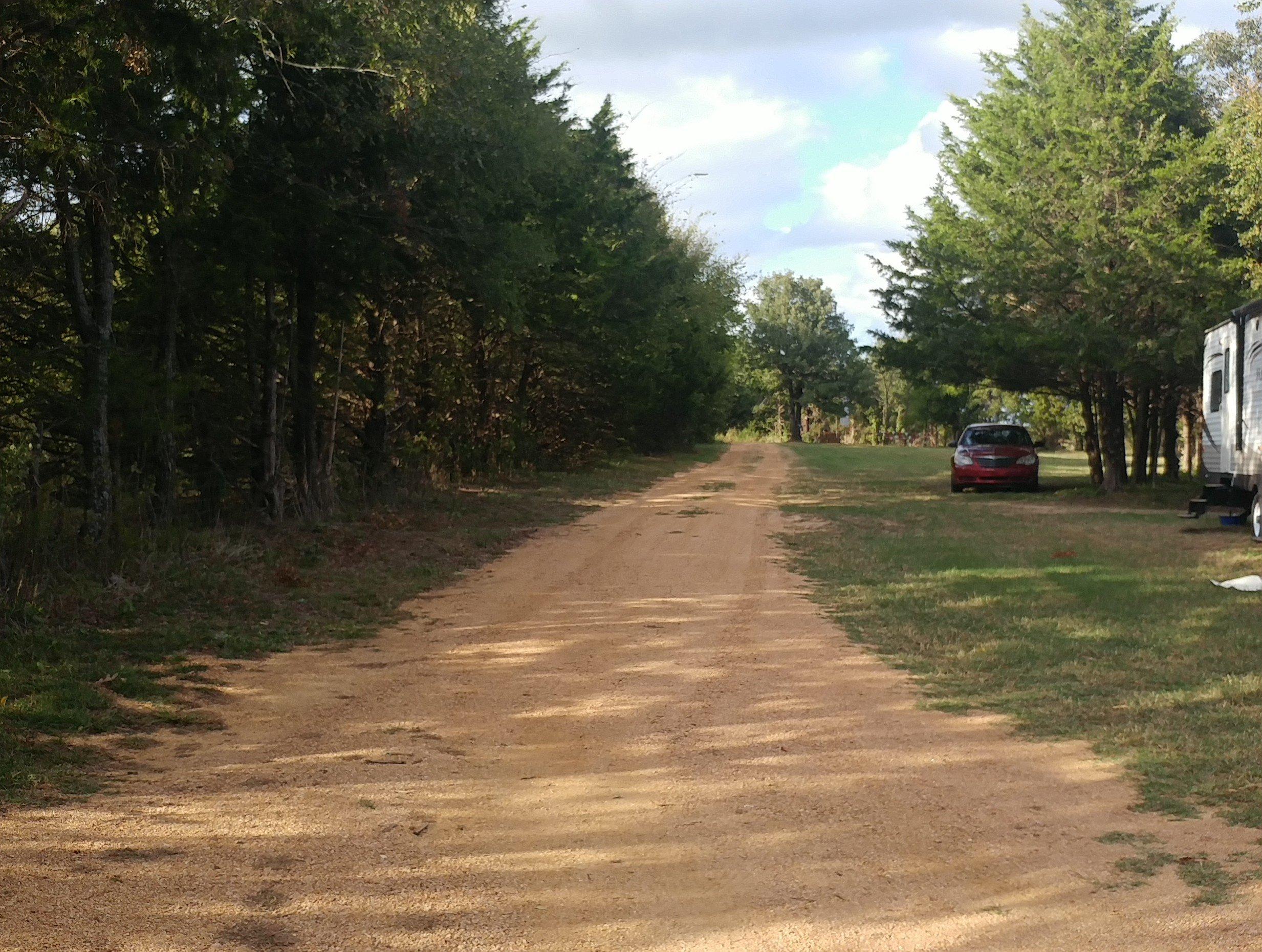
Connerville, located in Oklahoma, is a small but historically rich town known for its tranquil rural setting and close-knit community atmosphere. Historically, Connerville has its roots deeply embedded in the agricultural development of the region, with many of its traditions and community events reflecting this heritage. The town is recognized for its charming landscapes, which provide a picturesque backdrop for outdoor enthusiasts and those seeking a peaceful retreat. A notable feature of Connerville is its local events, which often celebrate the area's history and culture, drawing visitors who are interested in experiencing authentic small-town life in Oklahoma.
Among the popular places within Connerville is the nearby Blue River, a favored spot for fishing, camping, and enjoying nature's serenity. This natural attraction offers a respite from the hustle and bustle of urban life, attracting anglers and nature lovers alike. In addition to its natural beauty, Connerville is home to a number of local businesses and eateries that provide a taste of regional flavors and hospitality. Visitors often enjoy exploring these local establishments to get a sense of the community's character and warmth. Whether you're passing through or planning a stay, Connerville offers a glimpse into the heart of rural Oklahoma, where history and nature harmoniously coexist.
Nearby cities include: Bromide, OK, Mill Creek, OK, Fittstown, OK, Clarita, OK, Wapanucka, OK, Hickory, OK, Tishomingo, OK, Milburn, OK, Stonewall, OK, Ravia, OK.