Wren, OH
Advertisement
Wren, OH Map
Wren is a US city in Van Wert County in the state of Ohio. Located at the longitude and latitude of -84.774200, 40.799400 and situated at an elevation of 247 meters. In the 2020 United States Census, Wren, OH had a population of 165 people. Wren is in the Eastern Standard Time timezone at Coordinated Universal Time (UTC) -5. Find directions to Wren, OH, browse local businesses, landmarks, get current traffic estimates, road conditions, and more.
Wren, located in the state of Ohio, is a small village that showcases the quintessential charm of rural America. It is best known for its community-oriented events and serene landscapes. The village has a rich agricultural history, which is still evident in its rolling farmlands and the local farmer's markets that offer fresh produce. A notable feature of Wren is its annual Wren Christmas Society event, which lights up the village with festive decorations, drawing visitors from the surrounding areas.
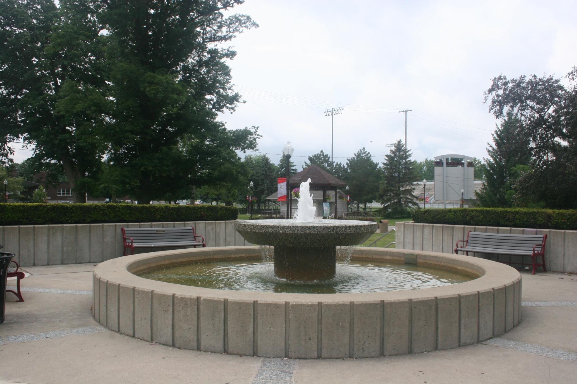
Among the popular spots in Wren is the village park, a favorite for picnics and leisurely walks, offering a glimpse into the tranquil lifestyle of the area. The Wrenway Park Wiffleball Warehouse is another unique attraction, hosting the annual Wiffleball tournament that has become a beloved tradition. This event not only provides entertainment but also fosters a sense of community and camaraderie. Wren’s history and close-knit community spirit make it a quaint destination for those looking to experience the simplicity and warmth of small-town life in Ohio.
Nearby cities include: Willshire, OH, St. Marys, IN, Blue Creek, IN, Black Creek, OH, Decatur, IN, Ohio City, OH, Convoy, OH, Monroe, IN, Rockford, OH, Root, IN.
Places in Wren
Dine and drink
Eat and drink your way through town.
Can't-miss activities
Culture, natural beauty, and plain old fun.
Places to stay
Hang your (vacation) hat in a place that’s just your style.
Advertisement


