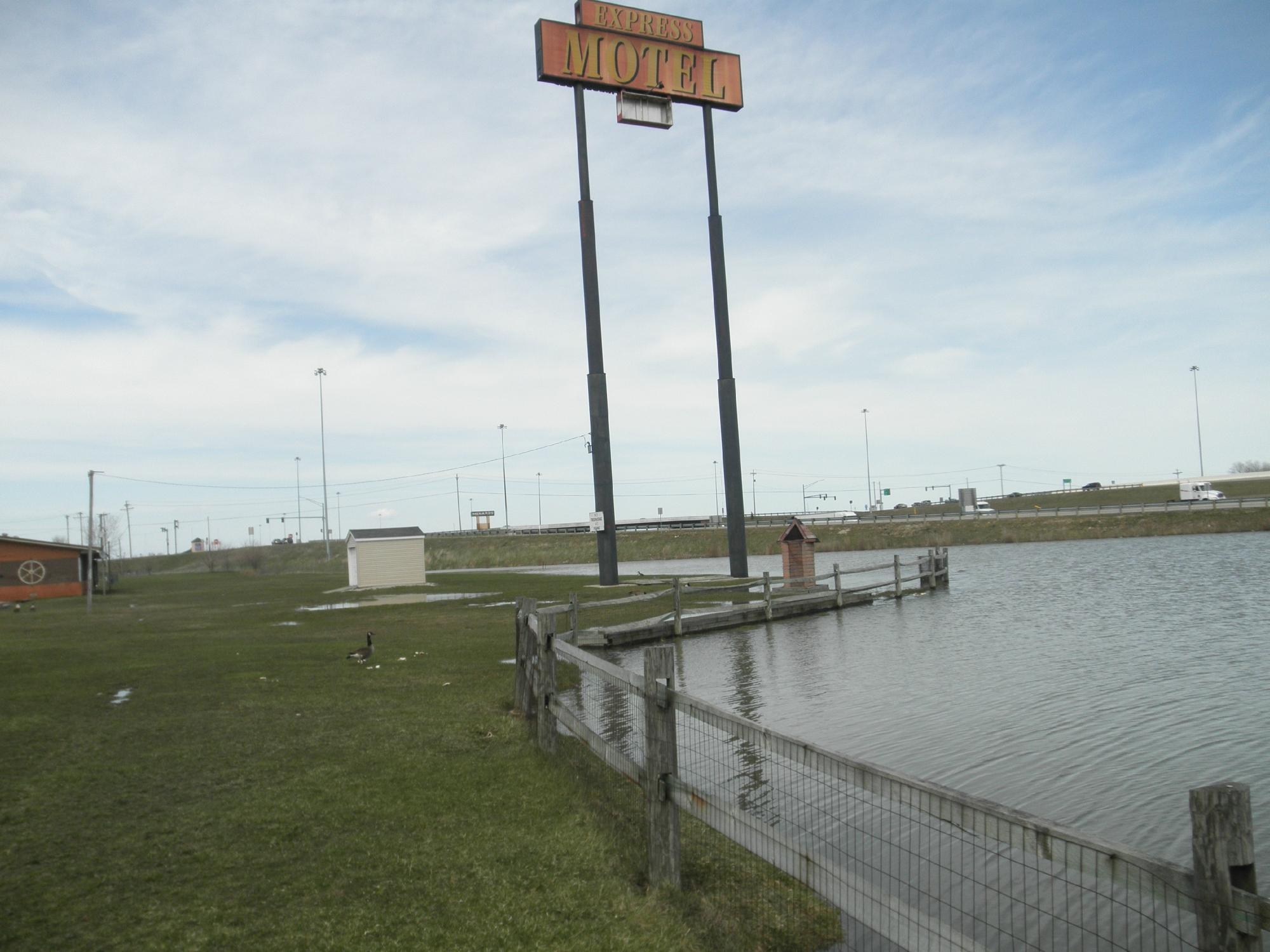
Walbridge, OH
Advertisement
Walbridge, OH Map
Walbridge is a US city in Wood County in the state of Ohio. Located at the longitude and latitude of -83.489400, 41.588300 and situated at an elevation of 188 meters. In the 2020 United States Census, Walbridge, OH had a population of 3,011 people. Walbridge is in the Eastern Standard Time timezone at Coordinated Universal Time (UTC) -5. Find directions to Walbridge, OH, browse local businesses, landmarks, get current traffic estimates, road conditions, and more.
Walbridge, located in the state of Ohio, is a small town known for its quaint charm and tight-knit community atmosphere. It is particularly recognized for its beautiful green spaces, such as the well-maintained Loop Park, which is a local favorite for picnics, sports, and family gatherings. The town has a rich history that dates back to the early 20th century, when it was founded as a railroad town. This historical connection is still evident today, with several old railroad tracks and structures serving as reminders of its past.
In addition to its parks, Walbridge is home to the Walbridge-Fest, an annual event that celebrates the town's community spirit with food, music, and entertainment. This festival is a highlight for residents and visitors alike, providing a glimpse into the town's vibrant culture. The local library and community center also serve as hubs for educational and recreational activities, making Walbridge a welcoming place for families and individuals seeking a peaceful yet engaging environment.
Nearby cities include: Northwood, OH, Millbury, OH, Rossford, OH, Oregon, OH, Toledo, OH, Stony Ridge, OH, Curtice, OH, Clay Center, OH, Harbor View, OH, Perrysburg, OH.
Places in Walbridge
Dine and drink
Eat and drink your way through town.
Can't-miss activities
Culture, natural beauty, and plain old fun.
Places to stay
Hang your (vacation) hat in a place that’s just your style.
Advertisement


