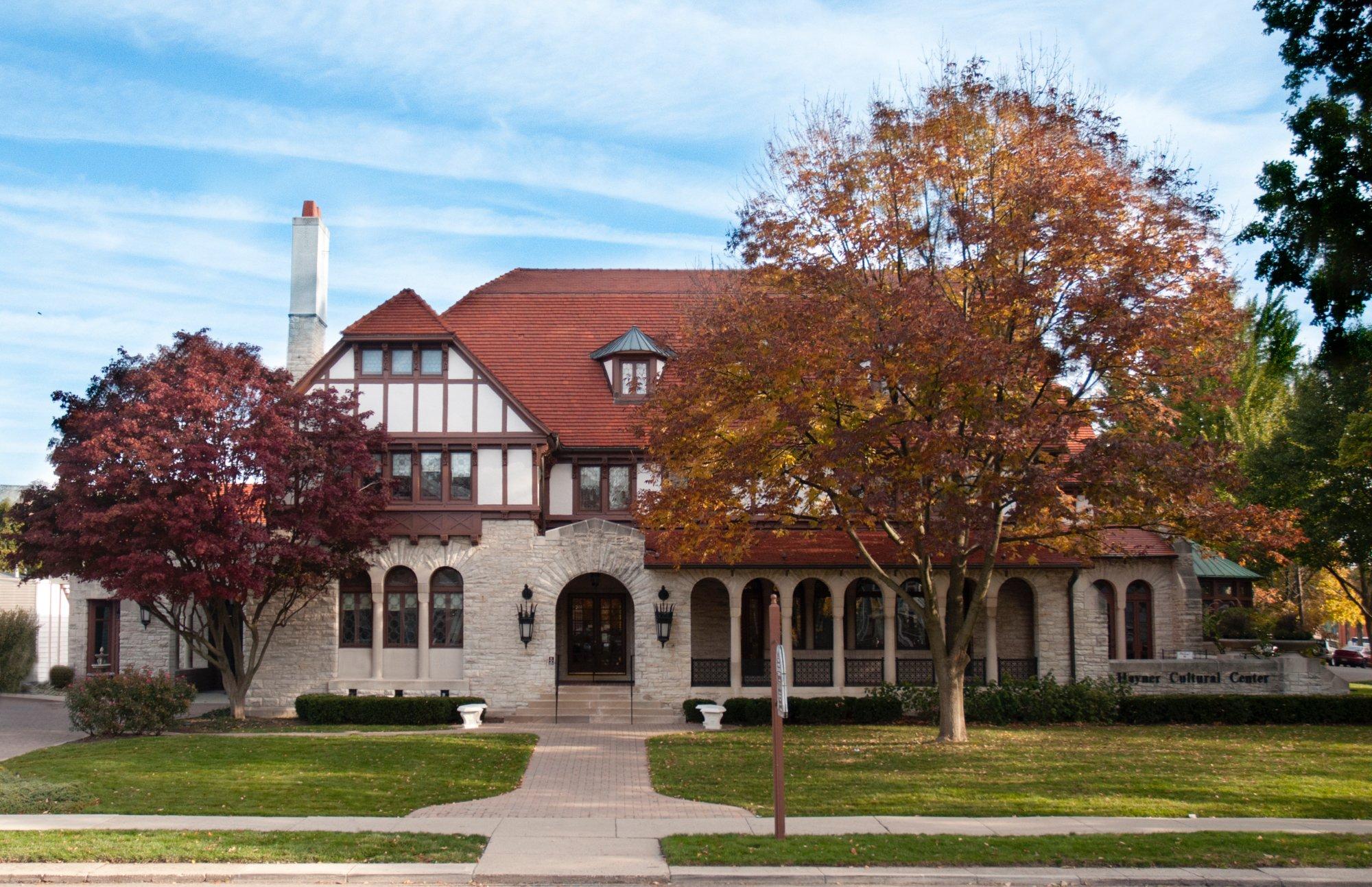
Troy, OH
Advertisement
Troy, OH 45373
Troy Map
Troy is a city in Miami County, Ohio, United States. The population was 25,058 at the 2010 census. It is the county seat of Miami County as well as the largest city in the county and is part of the Dayton Metropolitan Statistical Area.
Troy was one of the cities impacted by severe flooding in the Great Dayton Flood of 1913.
Troy is located at 40°2?30?N 84°12?31?W / 40.04167°N 84.20861°W / 40.04167; -84.20861 (40.041621, -84.208627).
Nearby cities include Vandalia, Laura, Huber Heights, New Carlisle, Englewood.
Places in Troy
Dine and drink
Eat and drink your way through town.
Can't-miss activities
Culture, natural beauty, and plain old fun.
Places to stay
Hang your (vacation) hat in a place that’s just your style.
See a problem?
Advertisement


