Tarlton, OH
Advertisement
Tarlton, OH Map
Tarlton is a US city in Pickaway County in the state of Ohio. Located at the longitude and latitude of -82.779200, 39.554700 and situated at an elevation of 275 meters. In the 2020 United States Census, Tarlton, OH had a population of 254 people. Tarlton is in the Eastern Standard Time timezone at Coordinated Universal Time (UTC) -5. Find directions to Tarlton, OH, browse local businesses, landmarks, get current traffic estimates, road conditions, and more.
Tarlton, Ohio, is a quaint village that offers a glimpse into the past with its charming, small-town atmosphere and historical roots. Established in the early 1800s, Tarlton is known for its rich history, particularly its connection to the early settlers of the region. Visitors can explore remnants of its past through historical sites and architecture that reflect the era of its founding. The village's picturesque streets and welcoming community make it a pleasant stop for those exploring the broader Ohio countryside.
One of the notable places to visit in Tarlton is the Tarlton Cross Mound, a prehistoric mound thought to be constructed by the indigenous people of the area, which provides insight into the early inhabitants of Ohio. Moreover, the village hosts various local events and festivals throughout the year, fostering a sense of community and tradition. While Tarlton might not boast the bustling attractions of larger cities, its serene environment and historical significance offer a unique experience for travelers interested in exploring Ohio's lesser-known locales.
Nearby cities include: Stoutsville, OH, Laurelville, OH, Adelphi, OH, Amanda, OH, Circleville, OH, Kingston, OH, Salt Creek, OH, Hocking, OH, Laurel, OH, Sugar Grove, OH.
Places in Tarlton
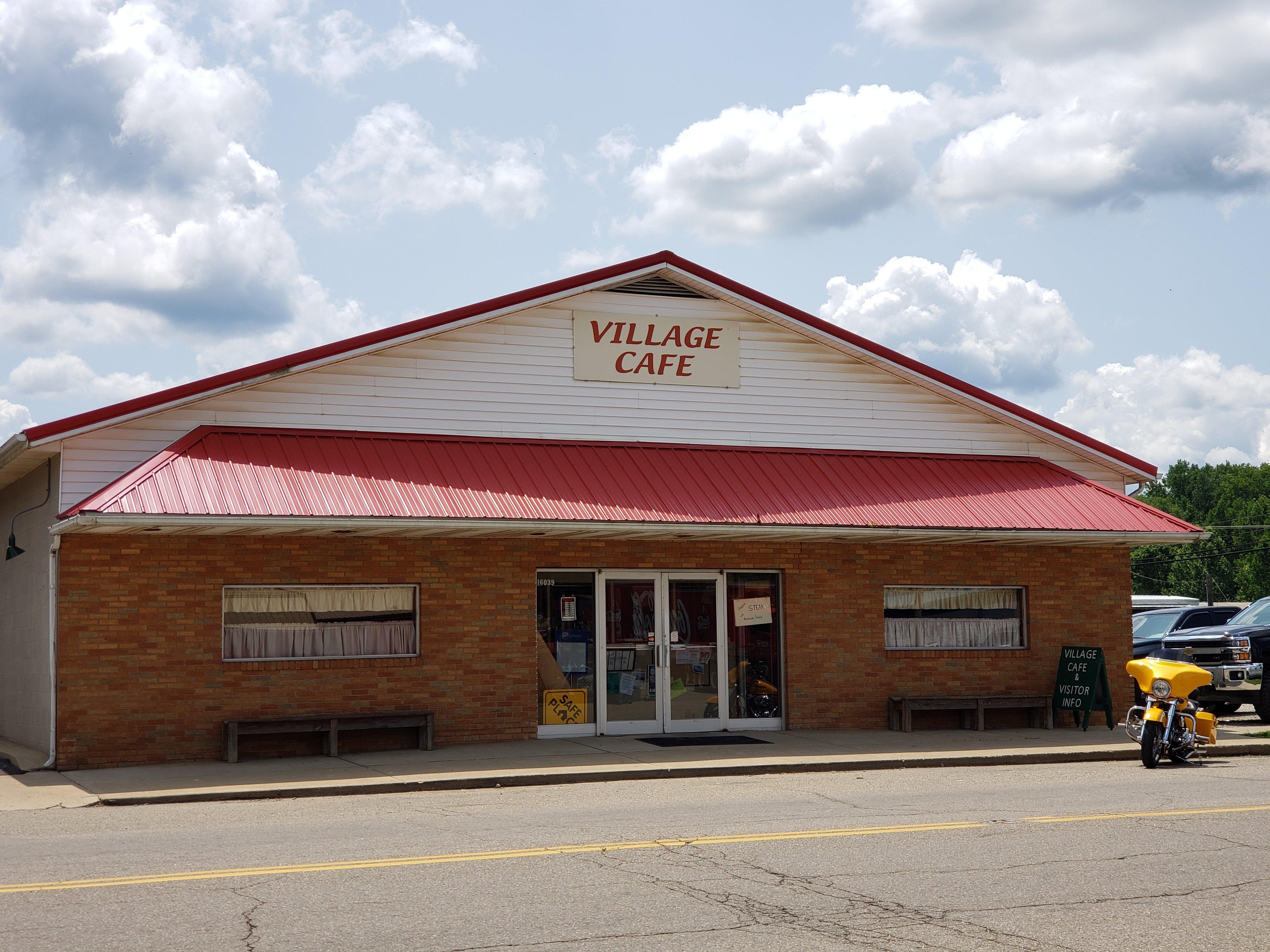
Dine and drink
Eat and drink your way through town.
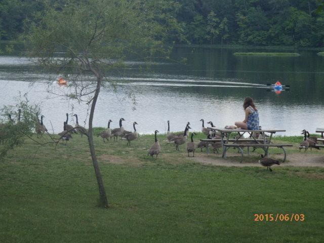
Can't-miss activities
Culture, natural beauty, and plain old fun.
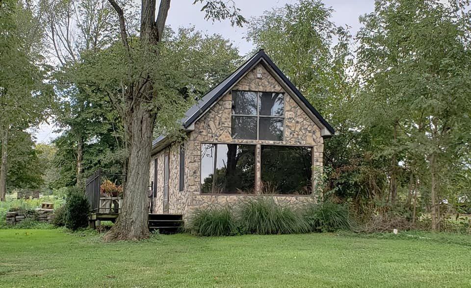
Places to stay
Hang your (vacation) hat in a place that’s just your style.
Advertisement


