Rarden, OH
Advertisement
Rarden, OH Map
Rarden is a US city in Scioto County in the state of Ohio. Located at the longitude and latitude of -83.242200, 38.923300 and situated at an elevation of 189 meters. In the 2020 United States Census, Rarden, OH had a population of 146 people. Rarden is in the Eastern Standard Time timezone at Coordinated Universal Time (UTC) -5. Find directions to Rarden, OH, browse local businesses, landmarks, get current traffic estimates, road conditions, and more.
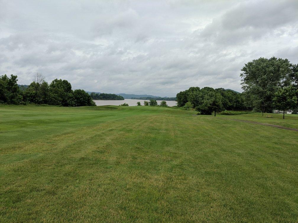
Rarden, Ohio, is a small village known for its serene rural landscapes and a strong sense of community. It is an area where history and nature converge, offering visitors a glimpse into the quiet life of the Ohio countryside. Rarden is particularly recognized for its proximity to Shawnee State Forest, often referred to as "Ohio's Little Smokies," which provides ample opportunities for hiking, camping, and enjoying the great outdoors. This expansive forest is a haven for nature enthusiasts looking to explore the diverse flora and fauna of the region.
The village of Rarden retains a quaint charm, with historical roots that trace back to its early settlements. While it may not boast a plethora of tourist attractions, its simplicity and the surrounding natural beauty make it an attractive spot for those seeking a peaceful retreat. The village's history is reflected in its community events and local traditions that continue to celebrate its heritage. Visitors to Rarden can expect a warm welcome and a chance to experience the tranquil side of Ohio, making it a unique stop for travelers exploring the state's rural landscape.
Nearby cities include: Otway, OH, Franklin, OH, Meigs, OH, Sunfish, OH, Peebles, OH, McDermott, OH, Brush Creek, OH, Mifflin, OH, Newton, OH, Bratton, OH.
Places in Rarden
Dine and drink
Eat and drink your way through town.
Can't-miss activities
Culture, natural beauty, and plain old fun.
Places to stay
Hang your (vacation) hat in a place that’s just your style.
Advertisement


