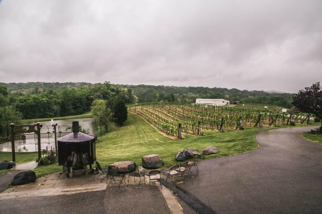
Madeira, OH
Advertisement
Madeira, OH Map
Madeira is a US city in Hamilton County in the state of Ohio. Located at the longitude and latitude of -84.368330, 39.188060 and situated at an elevation of 231 meters. In the 2020 United States Census, Madeira, OH had a population of 9,487 people. Madeira is in the Eastern Standard Time timezone at Coordinated Universal Time (UTC) -5. Find directions to Madeira, OH, browse local businesses, landmarks, get current traffic estimates, road conditions, and more.
Madeira, located in the state of Ohio, is a charming city known for its strong sense of community and family-friendly atmosphere. The city is particularly recognized for its excellent public school system, which consistently ranks among the top in the state. Madeira's history dates back to the 19th century, with its roots as a railroad town. This heritage is celebrated through various community events and local landmarks that highlight its development over the years.
Visitors to Madeira can enjoy a variety of local attractions and amenities. The city's downtown area is bustling with unique shops, cafes, and restaurants that offer a welcoming small-town vibe. McDonald Commons Park is a popular spot for outdoor activities, featuring sports fields, playgrounds, and picnic areas. Additionally, the Madeira Historical Society offers insights into the city's past through exhibits and educational programs. Overall, Madeira presents a blend of historical charm and modern conveniences, making it a pleasant destination for those seeking a peaceful yet engaging environment.
Nearby cities include: Kenwood, OH, Indian Hill, OH, Silverton, OH, Deer Park, OH, Dillonvale, OH, Columbia, OH, Amberley, OH, Mariemont, OH, Fairfax, OH, Terrace Park, OH.
Places in Madeira
Dine and drink
Eat and drink your way through town.
Can't-miss activities
Culture, natural beauty, and plain old fun.
Places to stay
Hang your (vacation) hat in a place that’s just your style.
Advertisement


