Gilboa, OH
Advertisement
Gilboa, OH Map
Gilboa is a US city in Putnam County in the state of Ohio. Located at the longitude and latitude of -83.921100, 41.017200 and situated at an elevation of 228 meters. In the 2020 United States Census, Gilboa, OH had a population of 168 people. Gilboa is in the Eastern Standard Time timezone at Coordinated Universal Time (UTC) -5. Find directions to Gilboa, OH, browse local businesses, landmarks, get current traffic estimates, road conditions, and more.
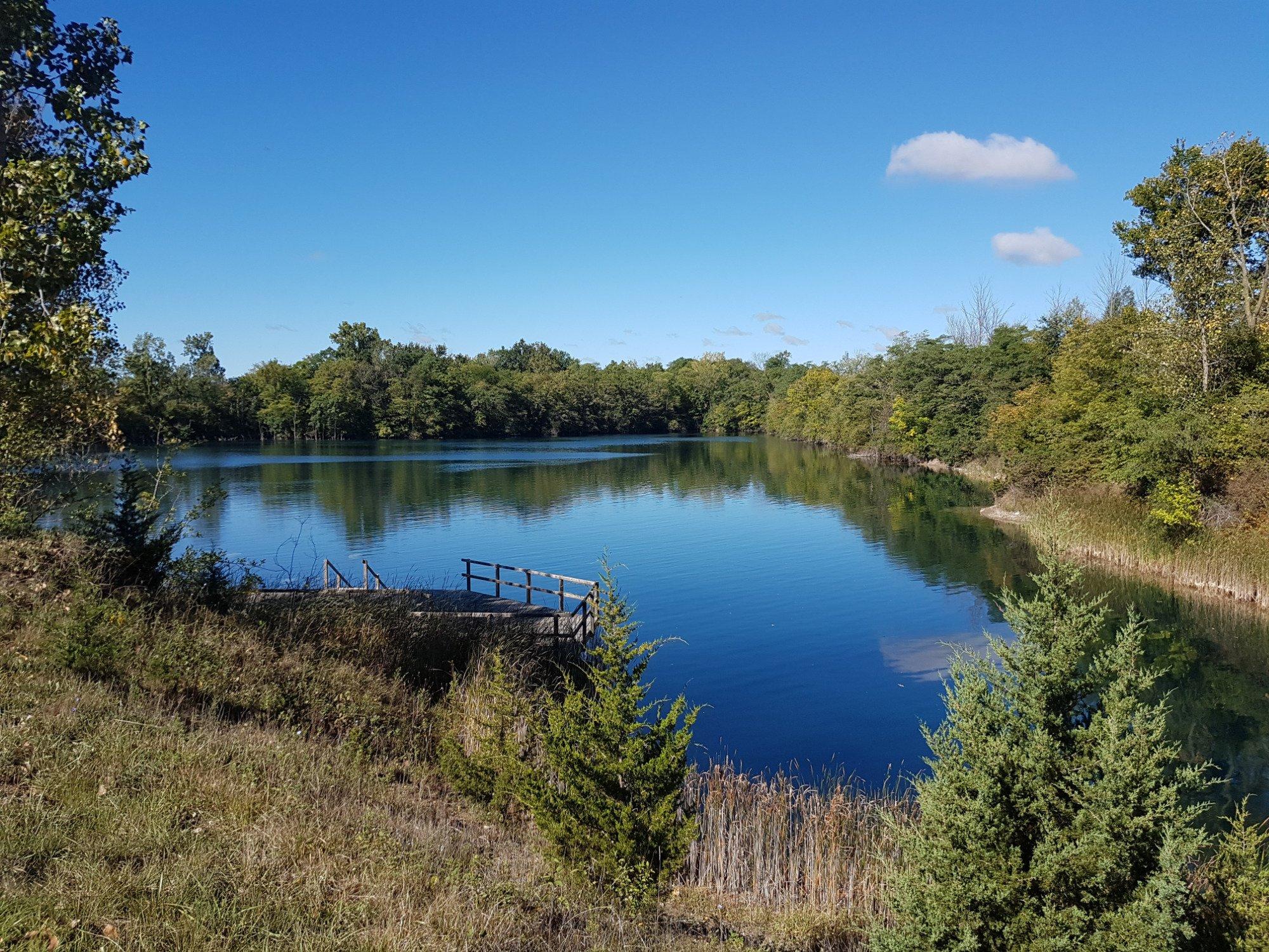
Gilboa, Ohio, is a quaint village that offers a slice of small-town Americana with a distinct historical charm. Known for its serene rural landscapes, Gilboa is a place where history and nature blend seamlessly. The village is recognized for its connection to the Miami and Erie Canal, a significant 19th-century waterway that played a crucial role in the development of Ohio's transport and trade systems. Visitors and history enthusiasts often explore the remnants and stories of this canal era, which are integral to understanding the region's past.
While Gilboa may not boast a long list of tourist attractions, its appeal lies in its peaceful environment and the opportunities for outdoor activities. The nearby Blanchard River offers fishing and kayaking experiences for those looking to engage with the local natural beauty. Additionally, the village hosts a variety of community events throughout the year, which provide a glimpse into the local culture and offer a chance to interact with the friendly residents. Gilboa's charm is in its simplicity and the warm welcome it extends to those who venture off the beaten path to discover it.
Nearby cities include: Pandora, OH, Ottawa, OH, Leipsic, OH, Benton Ridge, OH, West Leipsic, OH, Mount Cory, OH, Rawson, OH, Glandorf, OH, Bluffton, OH, McComb, OH.
Places in Gilboa
Dine and drink
Eat and drink your way through town.
Can't-miss activities
Culture, natural beauty, and plain old fun.
Places to stay
Hang your (vacation) hat in a place that’s just your style.
Advertisement


