Doylestown, OH
Advertisement
Doylestown, OH Map
Doylestown is a US city in Wayne County in the state of Ohio. Located at the longitude and latitude of -81.694400, 40.970300 and situated at an elevation of 381 meters. In the 2020 United States Census, Doylestown, OH had a population of 3,051 people. Doylestown is in the Eastern Standard Time timezone at Coordinated Universal Time (UTC) -5. Find directions to Doylestown, OH, browse local businesses, landmarks, get current traffic estimates, road conditions, and more.
Doylestown, located in Ohio, is a charming small town known for its tight-knit community and rich heritage. One of the central highlights of Doylestown is its historical ambiance, which is evident in its well-preserved architecture and local landmarks. The town's history dates back to the 19th century, and it has retained much of its original charm, making it a delightful destination for those interested in Ohio's past. Visitors can explore local shops and eateries that reflect the town's friendly and welcoming atmosphere.
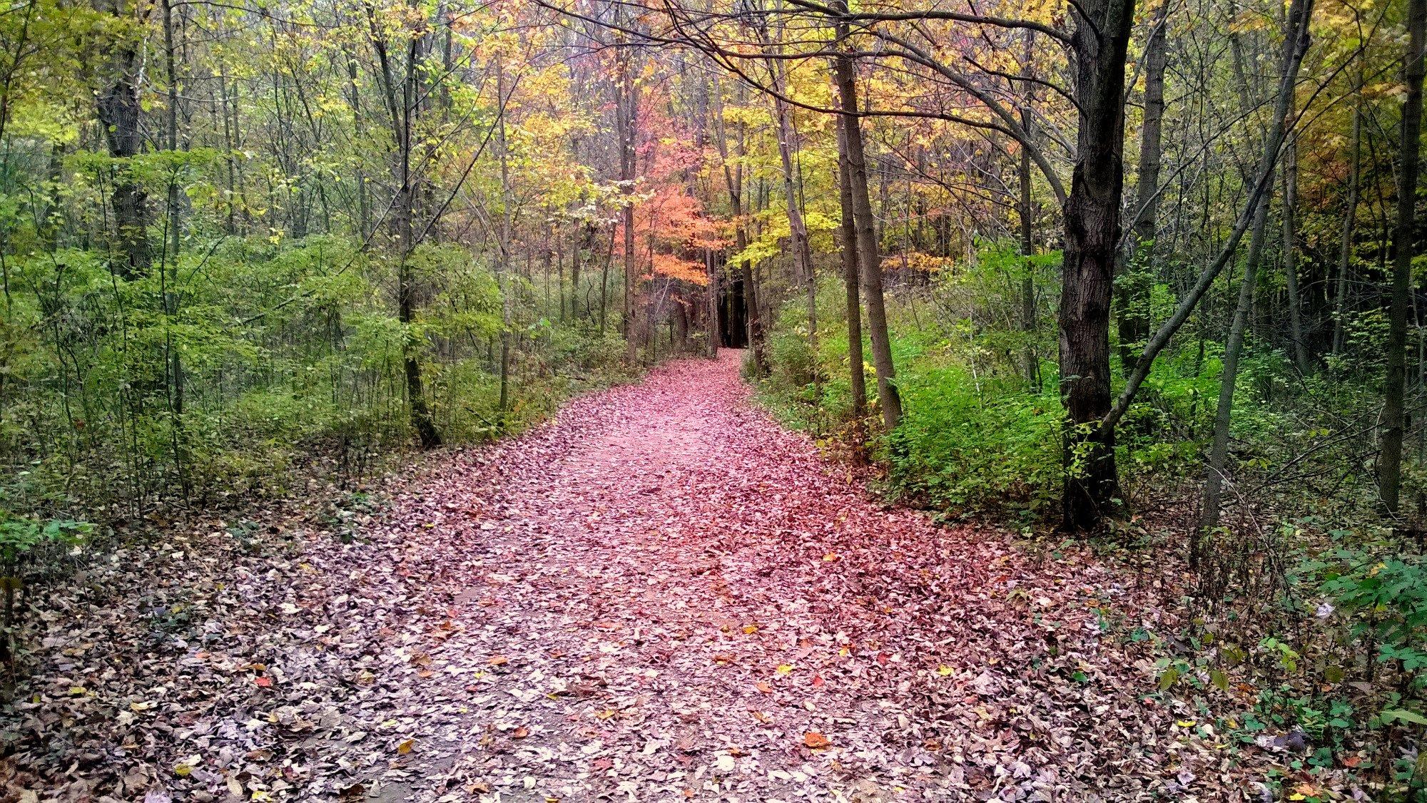
Among the popular places in Doylestown is the Rogues' Hollow Festival, an annual event that celebrates local folklore and community spirit. The festival includes a variety of activities, live music, and food, attracting both residents and visitors alike. Additionally, the Silver Creek Metro Park offers outdoor enthusiasts a chance to enjoy scenic trails and natural beauty. This park is an ideal spot for hiking, picnicking, and experiencing the tranquility of the local landscape. Doylestown's blend of history, community events, and natural attractions make it a unique destination worth exploring.
Nearby cities include: Wadsworth, OH, Clinton, OH, Norton, OH, Rittman, OH, Marshallville, OH, Barberton, OH, Manchester, OH, Canal Fulton, OH, Baughman, OH, Sterling, OH.
Places in Doylestown
Dine and drink
Eat and drink your way through town.
Can't-miss activities
Culture, natural beauty, and plain old fun.
Places to stay
Hang your (vacation) hat in a place that’s just your style.
Advertisement


