Custar, OH
Advertisement
Custar, OH Map
Custar is a US city in Wood County in the state of Ohio. Located at the longitude and latitude of -83.844400, 41.284200 and situated at an elevation of 211 meters. In the 2020 United States Census, Custar, OH had a population of 178 people. Custar is in the Eastern Standard Time timezone at Coordinated Universal Time (UTC) -5. Find directions to Custar, OH, browse local businesses, landmarks, get current traffic estimates, road conditions, and more.
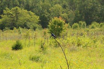
Custar, Ohio, is a small village that encapsulates the quintessential charm of rural America. Known for its tight-knit community and tranquil surroundings, Custar offers a glimpse into a simpler way of life. The village is characterized by its agricultural backdrop, with sprawling fields and farms that paint a picturesque landscape. While it may not be a bustling metropolis, Custar's heart is its community spirit, often showcased during local events and gatherings that bring residents together.
Among the notable places in Custar is the Custar United Methodist Church, a cornerstone of the community both in terms of faith and social gatherings. The village's history is rooted in its agricultural beginnings, and this heritage is still evident today. The surrounding countryside offers opportunities for scenic drives and exploration, where visitors can appreciate the serene beauty of Ohio's rural landscapes. While Custar may not boast an extensive list of attractions, its charm lies in the peaceful and friendly atmosphere that welcomes anyone who passes through.
Nearby cities include: Milton Center, OH, Richfield, OH, Weston, OH, Deshler, OH, Bartlow, OH, Hoytville, OH, McClure, OH, Grand Rapids, OH, Grand Rapids, OH, Grand Rapids, OH.
Places in Custar
Dine and drink
Eat and drink your way through town.
Can't-miss activities
Culture, natural beauty, and plain old fun.
Places to stay
Hang your (vacation) hat in a place that’s just your style.
Advertisement


