Conneaut, OH
Advertisement
Conneaut, OH Map
Conneaut is a US city in Ashtabula County in the state of Ohio. Located at the longitude and latitude of -80.566700, 41.950000 and situated at an elevation of 197 meters. In the 2020 United States Census, Conneaut, OH had a population of 12,318 people. Conneaut is in the Eastern Standard Time timezone at Coordinated Universal Time (UTC) -5. Find directions to Conneaut, OH, browse local businesses, landmarks, get current traffic estimates, road conditions, and more.
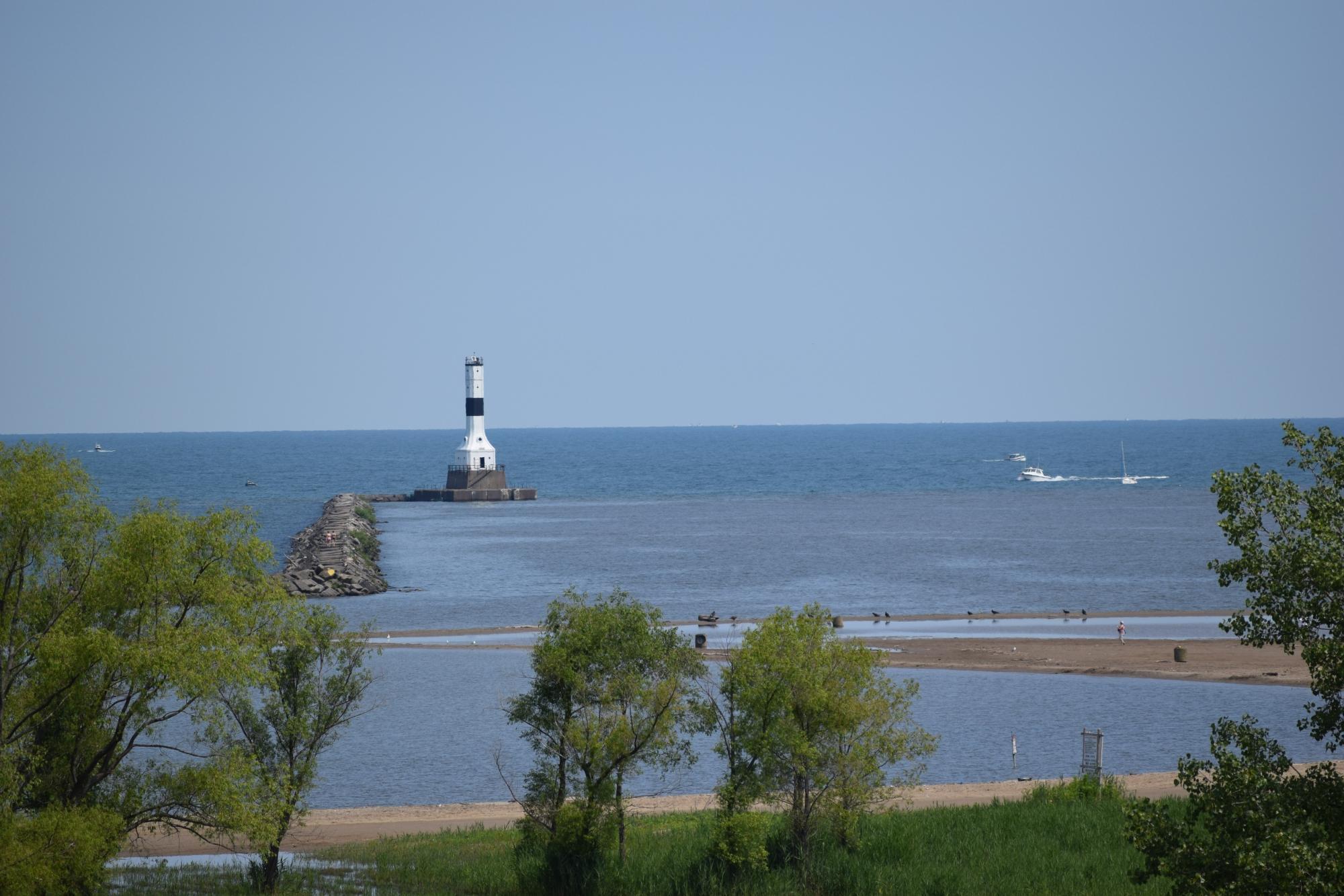
Conneaut, located in the northeastern corner of Ohio, is a city known for its picturesque setting along Lake Erie, offering a charming blend of natural beauty and historical significance. The city is particularly renowned for its Conneaut Harbor, which serves as a hub for recreational activities such as boating and fishing, and is a popular spot for locals and tourists alike. The harbor area is complemented by the beautiful Conneaut Township Park, which boasts a sandy beach, picnic areas, and a historic lighthouse that provides a glimpse into the city's maritime past.
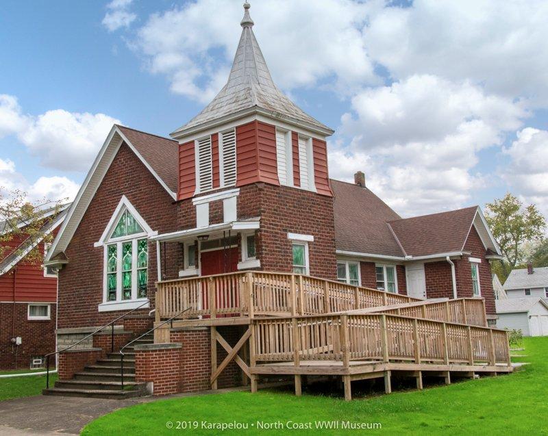
Historically, Conneaut played a significant role as a port city, with its development closely tied to the shipping and railroad industries. This rich history is preserved in places like the Conneaut Railroad Museum, where visitors can explore a collection of vintage locomotives and railcars. For those interested in military history, the D-Day Conneaut event, held annually, is one of the largest World War II reenactments in the United States, drawing enthusiasts and history buffs from across the country. With its blend of scenic views, historical attractions, and community events, Conneaut offers a unique experience that highlights the charm of small-town America.
Nearby cities include: Springfield, PA, North Kingsville, OH, Kingsville, OH, Kingsville, OH, Conneaut, PA, Sheffield, OH, Edgewood, OH, Albion, PA, Cranesville, PA, Lake City, PA.
Places in Conneaut
Dine and drink
Eat and drink your way through town.
Can't-miss activities
Culture, natural beauty, and plain old fun.
Places to stay
Hang your (vacation) hat in a place that’s just your style.
Advertisement


