


Congress, OH
Advertisement
Congress, OH Map
Congress is a US city in Wayne County in the state of Ohio. Located at the longitude and latitude of -82.053300, 40.925600 and situated at an elevation of 354 meters. In the 2020 United States Census, Congress, OH had a population of 132 people. Congress is in the Eastern Standard Time timezone at Coordinated Universal Time (UTC) -5. Find directions to Congress, OH, browse local businesses, landmarks, get current traffic estimates, road conditions, and more.
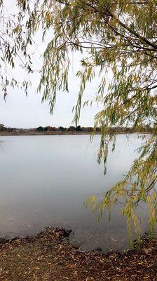
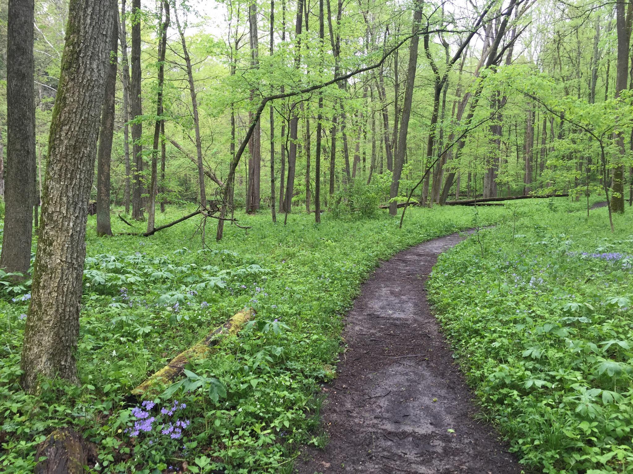
Congress, Ohio, is a small village that offers a quaint and peaceful atmosphere, typical of many small towns in the Midwest. While it may not be widely known for major tourist attractions or bustling city life, it serves as a charming stopover for those exploring the rural parts of Ohio. The village is characterized by its serene landscapes and a tight-knit community that reflects the traditional values and simplicity of rural America.
The area around Congress is primarily agricultural, with scenic farmlands providing a picturesque backdrop for those who appreciate the quiet beauty of the countryside. Visitors may enjoy leisurely drives through the surrounding region, taking in the natural beauty and perhaps visiting local farms or markets to experience the local produce. While Congress itself may not boast a plethora of attractions, its charm lies in its simplicity and the opportunity it provides to disconnect from the hustle and bustle of larger urban environments.
Nearby cities include: West Salem, OH, Burbank, OH, Harrisville, OH, Homer, OH, Lodi, OH, Polk, OH, Creston, OH, Westfield Center, OH, Westfield, OH, Wooster, OH.
Places in Congress
Dine and drink
Eat and drink your way through town.


Can't-miss activities
Culture, natural beauty, and plain old fun.


Places to stay
Hang your (vacation) hat in a place that’s just your style.


Advertisement