Byesville, OH
Advertisement
Byesville, OH Map
Byesville is a US city in Guernsey County in the state of Ohio. Located at the longitude and latitude of -81.541100, 39.968900 and situated at an elevation of 249 meters. In the 2020 United States Census, Byesville, OH had a population of 2,364 people. Byesville is in the Eastern Standard Time timezone at Coordinated Universal Time (UTC) -5. Find directions to Byesville, OH, browse local businesses, landmarks, get current traffic estimates, road conditions, and more.
Byesville, Ohio, is a small village with a rich history rooted in the coal mining boom of the late 19th and early 20th centuries. Known as the "Coal Mining Capital of Ohio," Byesville was once a bustling hub for miners and railroad workers. Today, the village pays homage to its past with the Byesville Scenic Railway, a popular tourist attraction that offers a glimpse into the area's industrial heritage. Visitors can take a leisurely train ride along the same tracks that once transported coal, accompanied by narratives that recount the life and times of the miners who worked there.
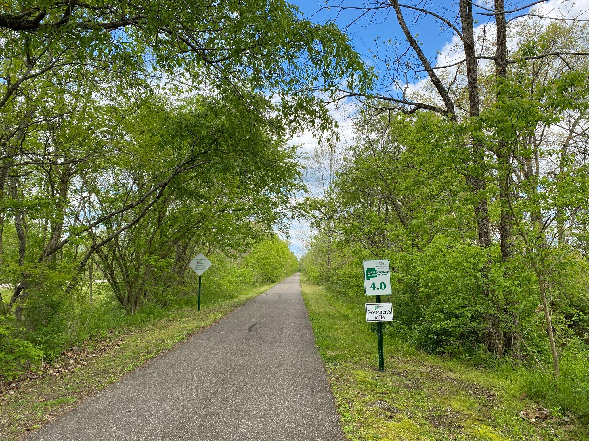
Apart from its historical significance, Byesville offers a quaint, small-town charm with local parks and eateries that provide a welcoming atmosphere for visitors. One notable spot is the Byesville Village Park, which features walking trails and picnic areas perfect for a relaxing afternoon. The village also hosts several community events throughout the year, including festivals and parades, which reflect the tight-knit community spirit. Byesville's blend of history and hospitality makes it a unique destination for those exploring the heart of Ohio.
Nearby cities include: Buffalo, OH, Valley, OH, Lore City, OH, Pleasant City, OH, Cambridge, OH, Cambridge, OH, Senecaville, OH, Old Washington, OH, Wills, OH, Buffalo, OH.
Places in Byesville
Dine and drink
Eat and drink your way through town.
Can't-miss activities
Culture, natural beauty, and plain old fun.
Places to stay
Hang your (vacation) hat in a place that’s just your style.
Advertisement


