Alliance, OH
Advertisement
Alliance, OH Map
Alliance is a US city in Stark County in the state of Ohio. Located at the longitude and latitude of -81.108060, 40.913330 and situated at an elevation of 353 meters. In the 2020 United States Census, Alliance, OH had a population of 21,672 people. Alliance is in the Eastern Standard Time timezone at Coordinated Universal Time (UTC) -5. Find directions to Alliance, OH, browse local businesses, landmarks, get current traffic estimates, road conditions, and more.
Alliance, Ohio, is a city with a rich historical tapestry and a distinct identity, often recognized as the "Carnation City." This moniker stems from its connection to the scarlet carnation, which was chosen as Ohio's state flower. The city is home to the University of Mount Union, an institution known for its strong liberal arts programs and vibrant campus life. Founded in 1846, Alliance grew as a key railroad hub, which played a significant role in its development. Visitors can explore the city's history at the Mabel Hartzell Historical Home, offering a glimpse into the past with its preserved Victorian architecture and period furnishings.
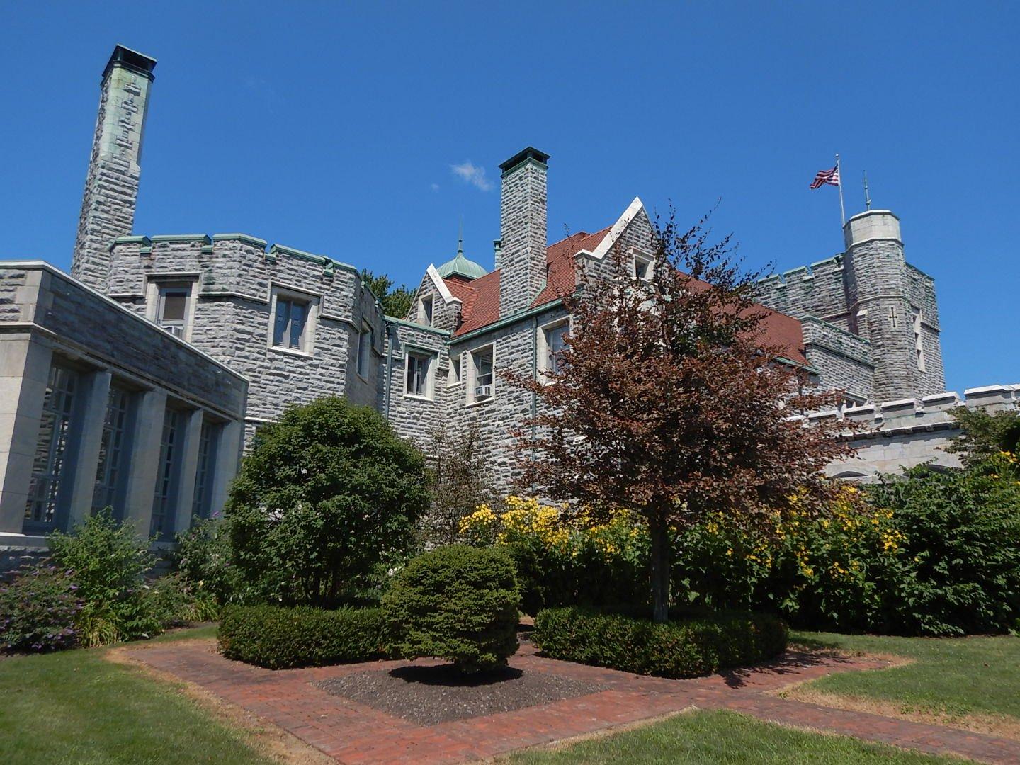
For those seeking recreation and green spaces, Silver Park is a notable destination with its picturesque walking trails, pond, and sports facilities. The annual Greater Alliance Carnation Festival, held every August, celebrates the city's floral heritage with parades, fireworks, and community events. Additionally, the Glamorgan Castle, a grandiose mansion built in the early 20th century, stands as a testament to the city's architectural heritage and offers guided tours to the public. Alliance provides a blend of historical charm and community spirit, making it a unique spot to explore in northeastern Ohio.
Nearby cities include: Sebring, OH, Limaville, OH, Knox, OH, Homeworth, OH, Beloit, OH, Marlboro, OH, Damascus, OH, Atwater, OH, Louisville, OH, Butler, OH.
Places in Alliance
Dine and drink
Eat and drink your way through town.
Can't-miss activities
Culture, natural beauty, and plain old fun.
Places to stay
Hang your (vacation) hat in a place that’s just your style.
Advertisement


