Thurston, OH
Advertisement
Thurston, OH Map
Thurston is a US city in Fairfield County in the state of Ohio. Located at the longitude and latitude of -82.545600, 39.843900 and situated at an elevation of 269 meters. In the 2020 United States Census, Thurston, OH had a population of 603 people. Thurston is in the Eastern Standard Time timezone at Coordinated Universal Time (UTC) -5. Find directions to Thurston, OH, browse local businesses, landmarks, get current traffic estimates, road conditions, and more.
Thurston, Ohio, is a small village that offers a glimpse into the tranquil life of rural America. Known primarily for its close-knit community and agricultural roots, Thurston provides a serene escape from the hustle and bustle of larger cities. The village is characterized by its charming landscapes and the simplicity of its surroundings, making it an ideal spot for those interested in exploring the quieter side of Ohio. While Thurston may not boast high-profile attractions, its local parks and community events, such as seasonal farmers' markets, offer a genuine taste of local culture and camaraderie.
One of Thurston's notable features is its historical significance as part of Ohio's rich tapestry of small towns that developed during the nation's westward expansion. Visitors can enjoy leisurely strolls through the village, where they can admire the traditional Midwestern architecture and perhaps engage with locals who are often eager to share stories about the area's past. Although Thurston is a small community, its charm lies in its ability to provide a peaceful retreat and an authentic experience of rural Ohio life.
Nearby cities include: Pleasantville, OH, Baltimore, OH, Millersport, OH, Buckeye Lake, OH, Thornville, OH, West Rushville, OH, Rushville, OH, Kirkersville, OH, Hebron, OH, Carroll, OH.
Places in Thurston
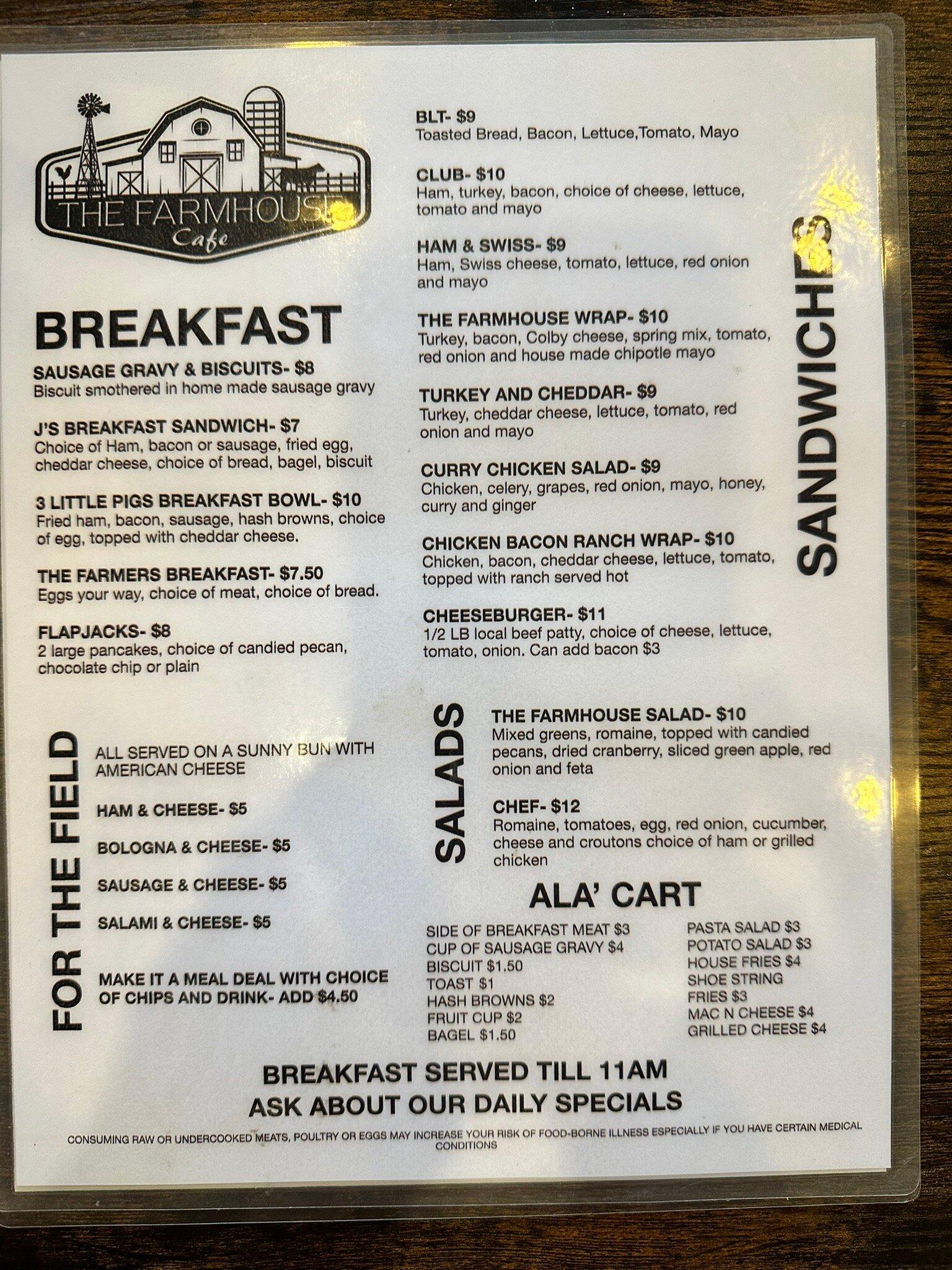
Dine and drink
Eat and drink your way through town.
Can't-miss activities
Culture, natural beauty, and plain old fun.
Places to stay
Hang your (vacation) hat in a place that’s just your style.
Advertisement


