


Roseville, OH
Advertisement
Roseville, OH Map
Roseville is a US city in Muskingum County in the state of Ohio. Located at the longitude and latitude of -82.075600, 39.805800 and situated at an elevation of 221 meters. In the 2020 United States Census, Roseville, OH had a population of 1,746 people. Roseville is in the Eastern Standard Time timezone at Coordinated Universal Time (UTC) -5. Find directions to Roseville, OH, browse local businesses, landmarks, get current traffic estimates, road conditions, and more.
Roseville, Ohio, is a quaint village known primarily for its rich history in pottery and ceramics. This small community rose to prominence in the late 19th and early 20th centuries as a hub for pottery production, with companies like the Roseville Pottery Company becoming nationally recognized for their artful and collectible pieces. Visitors to Roseville can explore this storied past at the local museums, which showcase an array of pottery artifacts and provide insights into the craftsmanship that defined the region.
One of the most popular places in Roseville is the historic pottery factories, some of which still stand as a testament to the town’s industrious past. These sites often host tours and events that delve into the techniques and history of pottery making. Additionally, Roseville's charming streets offer a glimpse into a bygone era with their vintage architecture and local shops, where visitors can purchase handmade ceramics and other artisan goods. The town's deep connection to its pottery heritage makes it a unique and culturally rich destination for those interested in American craftsmanship and history.
Nearby cities include: Crooksville, OH, East Fultonham, OH, Fultonham, OH, Clayton, OH, South Zanesville, OH, Bearfield, OH, New Lexington, OH, Philo, OH, Duncan Falls, OH, Zanesville, OH.
Places in Roseville
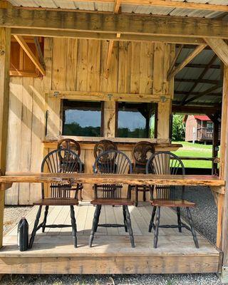
Dine and drink
Eat and drink your way through town.


Can't-miss activities
Culture, natural beauty, and plain old fun.


Places to stay
Hang your (vacation) hat in a place that’s just your style.


Advertisement