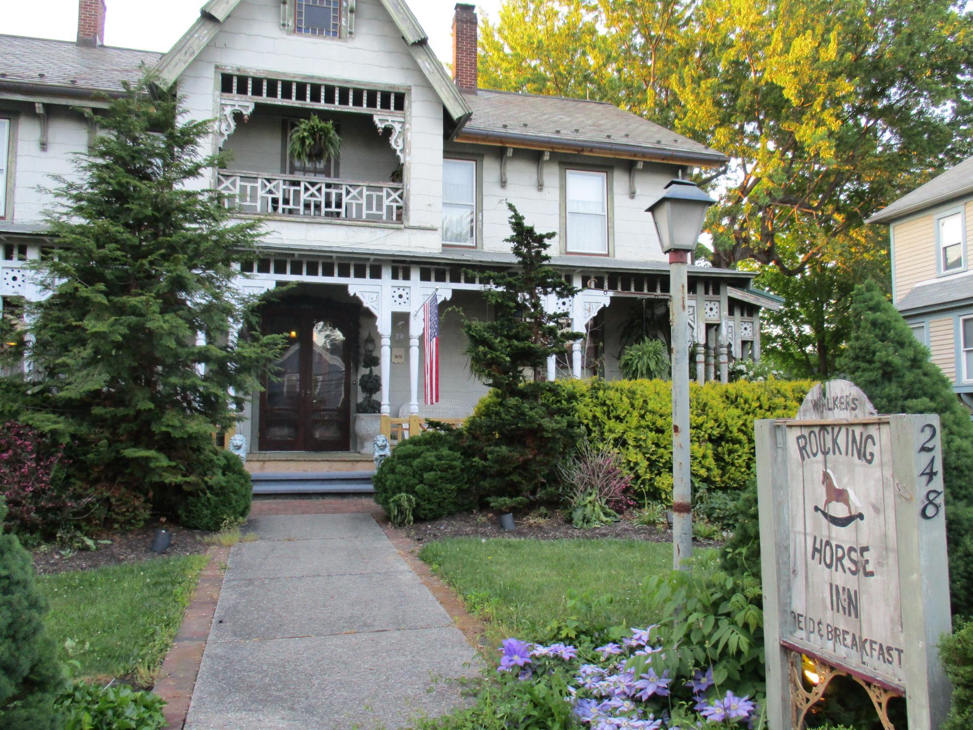
Rootstown, OH
Advertisement
Rootstown Township, OH Map
Rootstown Township is a US city in Portage County in the state of Ohio. Located at the longitude and latitude of -81.242222, 41.110556 and situated at an elevation of 325 meters. In the 2020 United States Census, Rootstown Township, OH had a population of 8,602 people. Rootstown Township is in the Eastern Standard Time timezone at Coordinated Universal Time (UTC) -5. Find directions to Rootstown Township, OH, browse local businesses, landmarks, get current traffic estimates, road conditions, and more.
Rootstown Township, nestled in the heart of Ohio, is primarily recognized for its blend of rural charm and educational prominence. This township is home to the Northeast Ohio Medical University (NEOMED), which serves as a significant educational and cultural hub for the area. The university frequently hosts community events and lectures, drawing visitors interested in medicine and education. Rootstown is also known for its commitment to agriculture, with several local farms offering fresh produce and seasonal activities, making it a peaceful retreat for those looking to experience the quieter side of Ohio life.
Historically, Rootstown Township was established in the early 19th century, with its roots tracing back to settlers who were primarily farmers. This heritage is celebrated through various local events and the preservation of historic sites. A visit to Rootstown wouldn't be complete without exploring the township's scenic parks and trails, which offer opportunities for hiking, picnicking, and enjoying the natural beauty of the region. While it may not boast the hustle and bustle of a major city, Rootstown's serene environment and community-focused lifestyle make it a noteworthy stop for those exploring Ohio's diverse landscapes.
Nearby cities include: Ravenna, OH, Brady Lake, OH, Kent, OH, Atwater, OH, Sugar Bush Knolls, OH, Mogadore, OH, Tallmadge, OH, Limaville, OH, Freedom, OH, Munroe Falls, OH.
Places in Rootstown
Dine and drink
Eat and drink your way through town.
Can't-miss activities
Culture, natural beauty, and plain old fun.
Places to stay
Hang your (vacation) hat in a place that’s just your style.
Advertisement


