Harveysburg, OH
Advertisement
Harveysburg, OH Map
Harveysburg is a US city in Warren County in the state of Ohio. Located at the longitude and latitude of -84.003900, 39.500000 and situated at an elevation of 283 meters. In the 2020 United States Census, Harveysburg, OH had a population of 554 people. Harveysburg is in the Eastern Standard Time timezone at Coordinated Universal Time (UTC) -5. Find directions to Harveysburg, OH, browse local businesses, landmarks, get current traffic estimates, road conditions, and more.
Harveysburg, Ohio, is a quaint village with a rich tapestry of history and charm, most notably recognized for hosting the annual Ohio Renaissance Festival. This festival, one of the largest in the United States, transforms the area into a bustling medieval village every fall, drawing visitors from all over to experience the lively reenactments, artisan crafts, and themed entertainment. The town itself is steeped in history, with roots tracing back to its founding in the 1830s, and it is known for its historical significance in the abolitionist movement, including being a stop on the Underground Railroad.
Visitors to Harveysburg can explore the scenic beauty of nearby Caesar Creek State Park, which offers opportunities for hiking, boating, and fossil hunting. The park's expansive lake and lush trails provide a serene escape for nature enthusiasts. Additionally, the village is dotted with charming antique shops and local eateries that reflect its small-town charm and welcoming community spirit. Harveysburg provides a unique blend of historical intrigue and natural beauty, making it a worthwhile stop for those exploring the region.
Nearby cities include: Chester, OH, Corwin, OH, Waynesville, OH, Clarksville, OH, Spring Valley, OH, Vernon, OH, Wilmington, OH, Bellbrook, OH, Morrow, OH, Port William, OH.
Places in Harveysburg
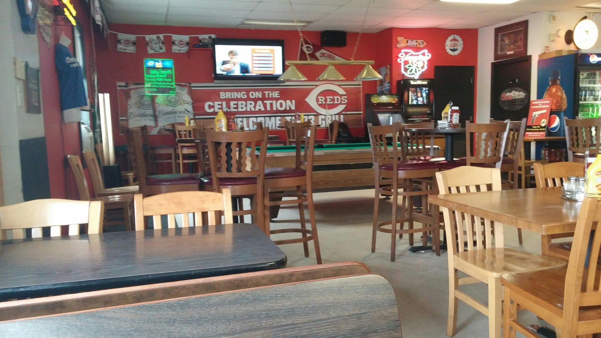
Dine and drink
Eat and drink your way through town.
Can't-miss activities
Culture, natural beauty, and plain old fun.
Places to stay
Hang your (vacation) hat in a place that’s just your style.
Advertisement


