Grover Hill, OH
Advertisement
Grover Hill, OH Map
Grover Hill is a US city in Paulding County in the state of Ohio. Located at the longitude and latitude of -84.476900, 41.018600 and situated at an elevation of 220 meters. In the 2020 United States Census, Grover Hill, OH had a population of 382 people. Grover Hill is in the Eastern Standard Time timezone at Coordinated Universal Time (UTC) -5. Find directions to Grover Hill, OH, browse local businesses, landmarks, get current traffic estimates, road conditions, and more.
Grover Hill, Ohio, is a quaint village that offers a glimpse into small-town American life. Known primarily for its close-knit community and rural charm, Grover Hill is a place where residents take pride in their local heritage and traditions. The village is recognized for its agricultural roots, and visitors can often witness the serene landscapes of sprawling fields and farms that define the area. Though small, the village hosts a number of community events throughout the year that celebrate its history and bring people together, making it a welcoming destination for those seeking a peaceful retreat.
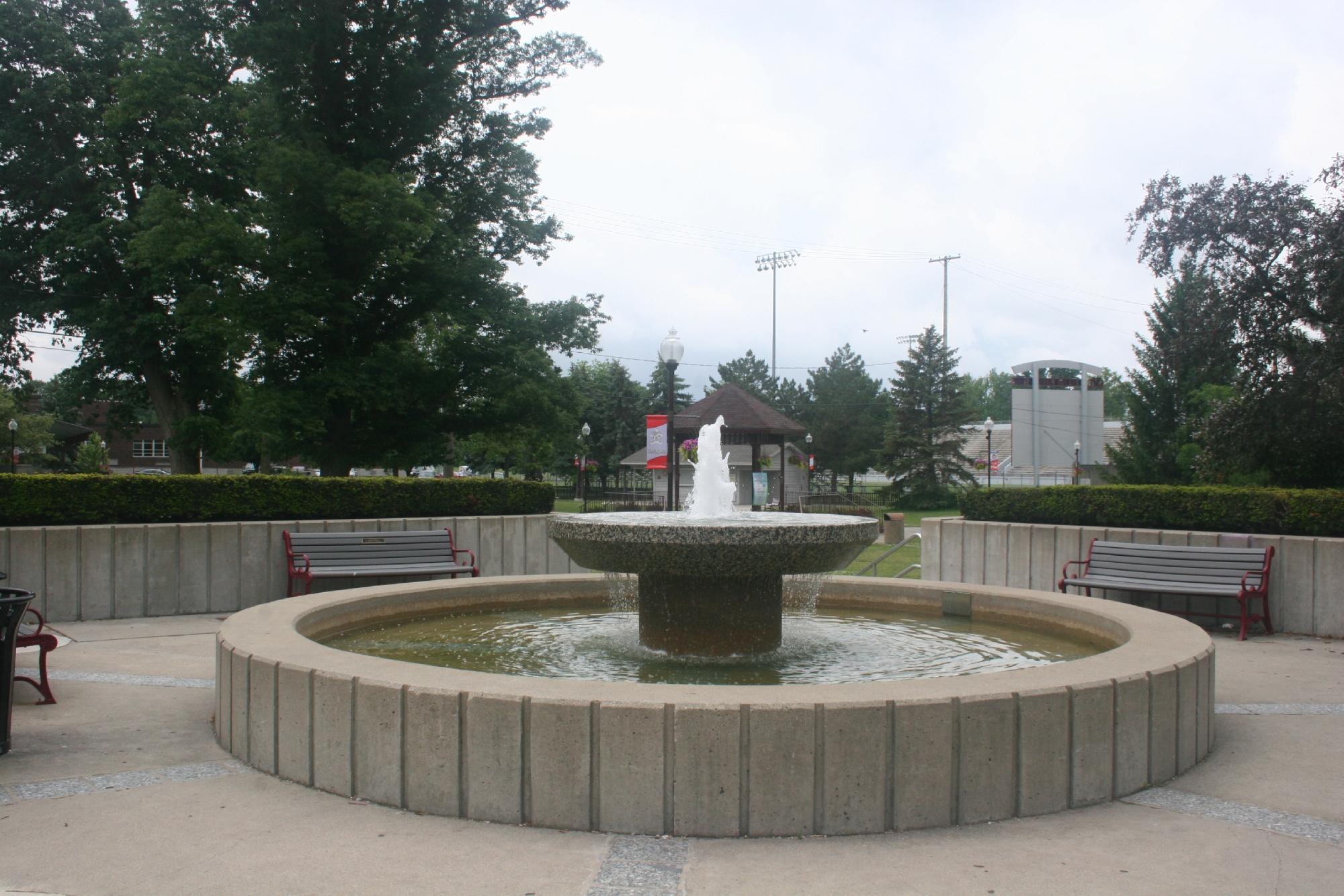
In terms of attractions, Grover Hill may not boast the bustling tourist spots of a large city, but it offers a few notable sites that are cherished by locals and visitors alike. The Grover Hill Veterans Memorial is a significant landmark, honoring the service and sacrifice of military veterans from the area. Additionally, the local parks provide ample space for outdoor activities and family gatherings, offering a taste of the simple pleasures of life in a rural setting. With its emphasis on community and simplicity, Grover Hill is a charming stop for those exploring the heartland of Ohio.
Nearby cities include: Haviland, OH, Broughton, OH, Melrose, OH, Scott, OH, Oakwood, OH, Latty, OH, Monterey, OH, Cloverdale, OH, Perry, OH, Dupont, OH.
Places in Grover Hill
Can't-miss activities
Culture, natural beauty, and plain old fun.
Places to stay
Hang your (vacation) hat in a place that’s just your style.
Advertisement


