East Sparta, OH
Advertisement
East Sparta, OH Map
East Sparta is a US city in Stark County in the state of Ohio. Located at the longitude and latitude of -81.353600, 40.670000 and situated at an elevation of 295 meters. In the 2020 United States Census, East Sparta, OH had a population of 749 people. East Sparta is in the Eastern Standard Time timezone at Coordinated Universal Time (UTC) -5. Find directions to East Sparta, OH, browse local businesses, landmarks, get current traffic estimates, road conditions, and more.
East Sparta, Ohio, is a quaint village that offers a glimpse into small-town American life, characterized by its rich historical roots and community spirit. Known for its proximity to the historic Sandy & Beaver Canal, East Sparta holds a significant place in the region's 19th-century industrial history. This canal was once a vital transportation route that contributed to the area's economic development. The village's historical charm is complemented by its serene landscapes and the welcoming nature of its residents, making it a peaceful retreat for those interested in exploring the pastoral side of Ohio.
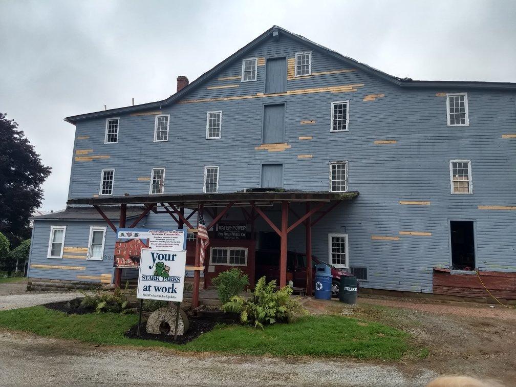
A visit to East Sparta is not complete without exploring the local parks and natural attractions that provide ample opportunities for outdoor activities. The nearby Sippo Lake Park and Wildlife Conservation Center is a popular spot for hiking, fishing, and enjoying the beauty of the area's natural surroundings. For history enthusiasts, the nearby Magnolia Flouring Mills offers a fascinating look at the region's milling history, with its well-preserved 19th-century architecture and informative tours. East Sparta's blend of history, community, and nature makes it a charming destination for those seeking a quiet escape with a touch of historical intrigue.
Nearby cities include: Sandyville, OH, Magnolia, OH, Sandy, OH, Mineral City, OH, Waynesburg, OH, Zoar, OH, Bolivar, OH, Rose, OH, Lawrence, OH, Lake Mohawk, OH.
Places in East Sparta
Dine and drink
Eat and drink your way through town.
Can't-miss activities
Culture, natural beauty, and plain old fun.
Places to stay
Hang your (vacation) hat in a place that’s just your style.
Advertisement


