Port Leyden, NY
Advertisement
Port Leyden, NY Map
Port Leyden is a US city in Lewis County in the state of New York. Located at the longitude and latitude of -75.344200, 43.583900 and situated at an elevation of 272 meters. In the 2020 United States Census, Port Leyden, NY had a population of 554 people. Port Leyden is in the Eastern Standard Time timezone at Coordinated Universal Time (UTC) -5. Find directions to Port Leyden, NY, browse local businesses, landmarks, get current traffic estimates, road conditions, and more.
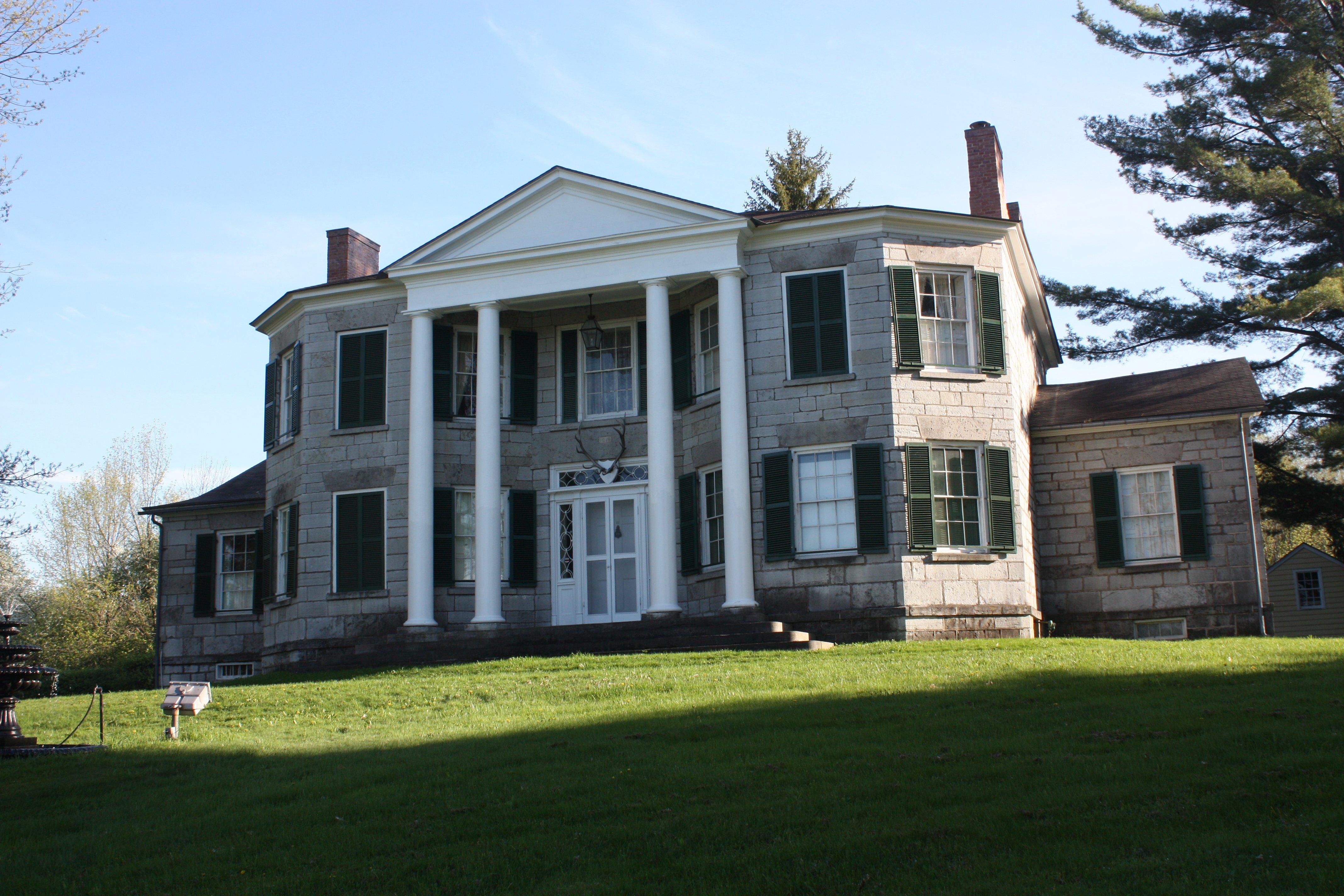
Port Leyden, nestled in the scenic landscape of New York, is a small village that exudes a quaint charm and a rich historical backdrop. Known for its serene environment and a close-knit community, Port Leyden is an ideal spot for those seeking a tranquil escape. The village's history is deeply intertwined with the Black River Canal, which played a significant role in its development during the 19th century. Visitors can explore remnants of this historical canal, which once served as a vital transportation route, offering a glimpse into the region's past.
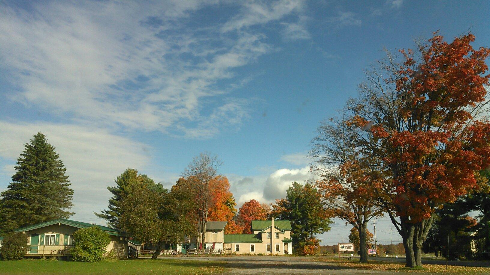
A popular attraction within Port Leyden is the picturesque Port Leyden Community Park, which provides a perfect setting for picnics, leisurely strolls, and community events. Outdoor enthusiasts often find themselves drawn to the nearby natural landscapes, ideal for hiking and fishing. While Port Leyden may not boast bustling streets or grand monuments, its charm lies in its simplicity and the warmth of its residents, making it a memorable stop for those exploring the quieter, more authentic side of New York.
Nearby cities include: Lyons Falls, NY, Lyonsdale, NY, Constableville, NY, Turin, NY, West Turin, NY, Greig, NY, Boonville, NY, Forestport, NY, Martinsburg, NY, Ava, NY.
Places in Port Leyden
Dine and drink
Eat and drink your way through town.
Can't-miss activities
Culture, natural beauty, and plain old fun.
Places to stay
Hang your (vacation) hat in a place that’s just your style.
Advertisement


