


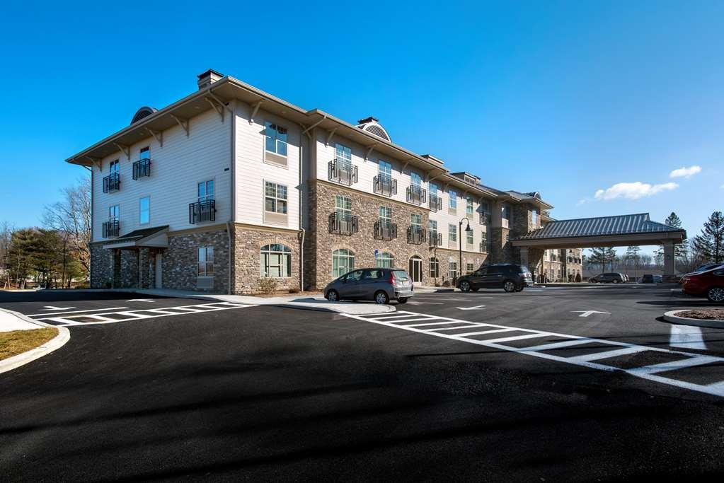
New Paltz, NY
Advertisement
New Paltz, NY Map
New Paltz is a US city in Ulster County in the state of New York. Located at the longitude and latitude of -74.086810, 41.747590 and situated at an elevation of 73 meters. In the 2020 United States Census, New Paltz, NY had a population of 7,324 people. New Paltz is in the Eastern Standard Time timezone at Coordinated Universal Time (UTC) -5. Find directions to New Paltz, NY, browse local businesses, landmarks, get current traffic estimates, road conditions, and more.
New Paltz, located in New York, is renowned for its rich history and vibrant cultural scene, making it a compelling destination for travelers. The city is famously home to the State University of New York at New Paltz, which contributes to its lively atmosphere with a steady influx of students and academic events. A significant historical highlight is the Huguenot Street Historic District, where visitors can explore one of the oldest continuously inhabited streets in America, featuring original stone houses dating back to the late 17th century. This area offers a glimpse into the lives of the French Huguenots who settled here, providing a unique window into early American history.
Beyond its historical significance, New Paltz is celebrated for its natural beauty and outdoor activities. The nearby Mohonk Preserve and Minnewaska State Park provide ample opportunities for hiking, rock climbing, and enjoying breathtaking views of the Shawangunk Ridge. The city also boasts a variety of local shops, art galleries, and farm-to-table dining experiences that highlight the region's commitment to sustainability and community. Whether you're exploring the quaint downtown or venturing into the surrounding wilderness, New Paltz offers a diverse array of attractions that cater to history buffs, nature enthusiasts, and cultural explorers alike.
Nearby cities include: Clintondale, NY, Lloyd, NY, Gardiner, NY, High Falls, NY, Tillson, NY, Rifton, NY, Rosendale, NY, Highland, NY, Rosendale, NY, Cottekill, NY.
Places in New Paltz
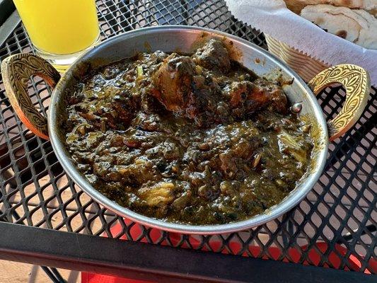
Dine and drink
Eat and drink your way through town.


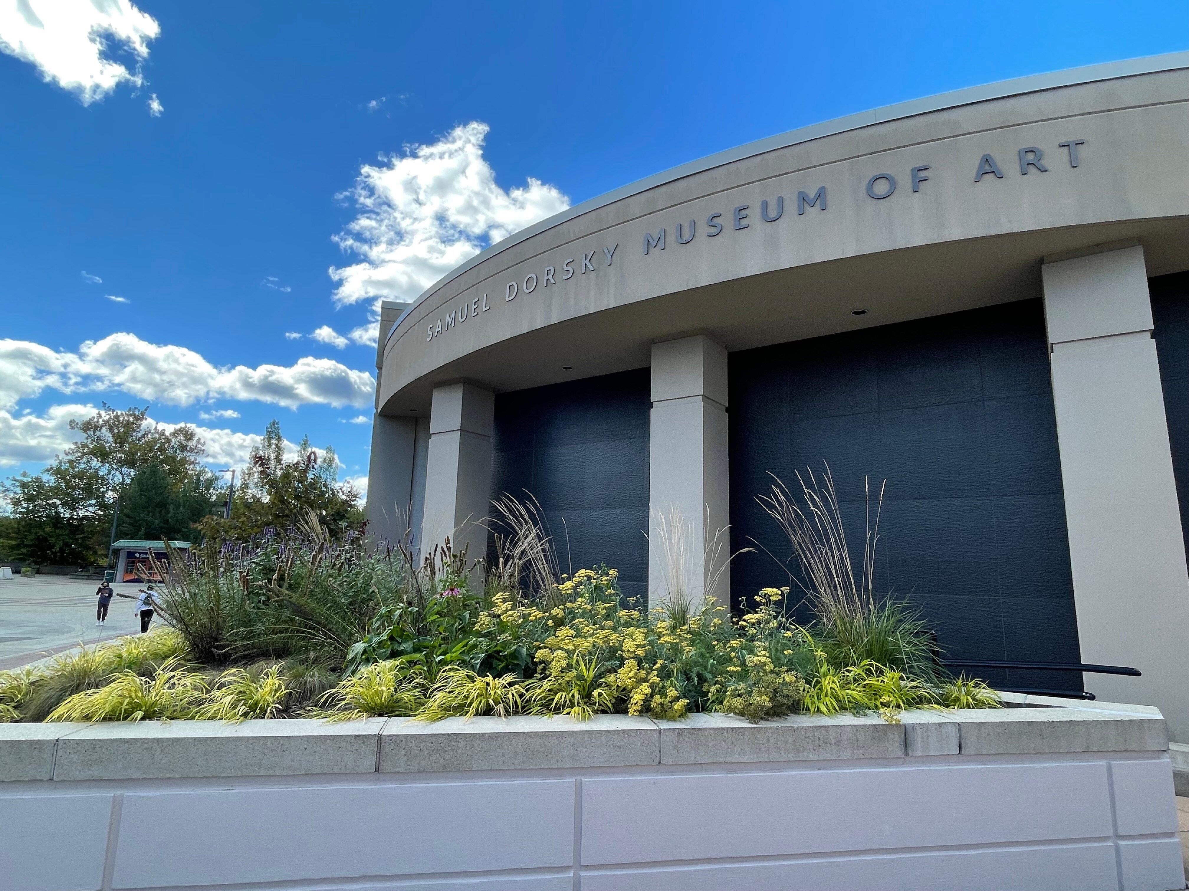
Can't-miss activities
Culture, natural beauty, and plain old fun.


Places to stay
Hang your (vacation) hat in a place that’s just your style.

Advertisement