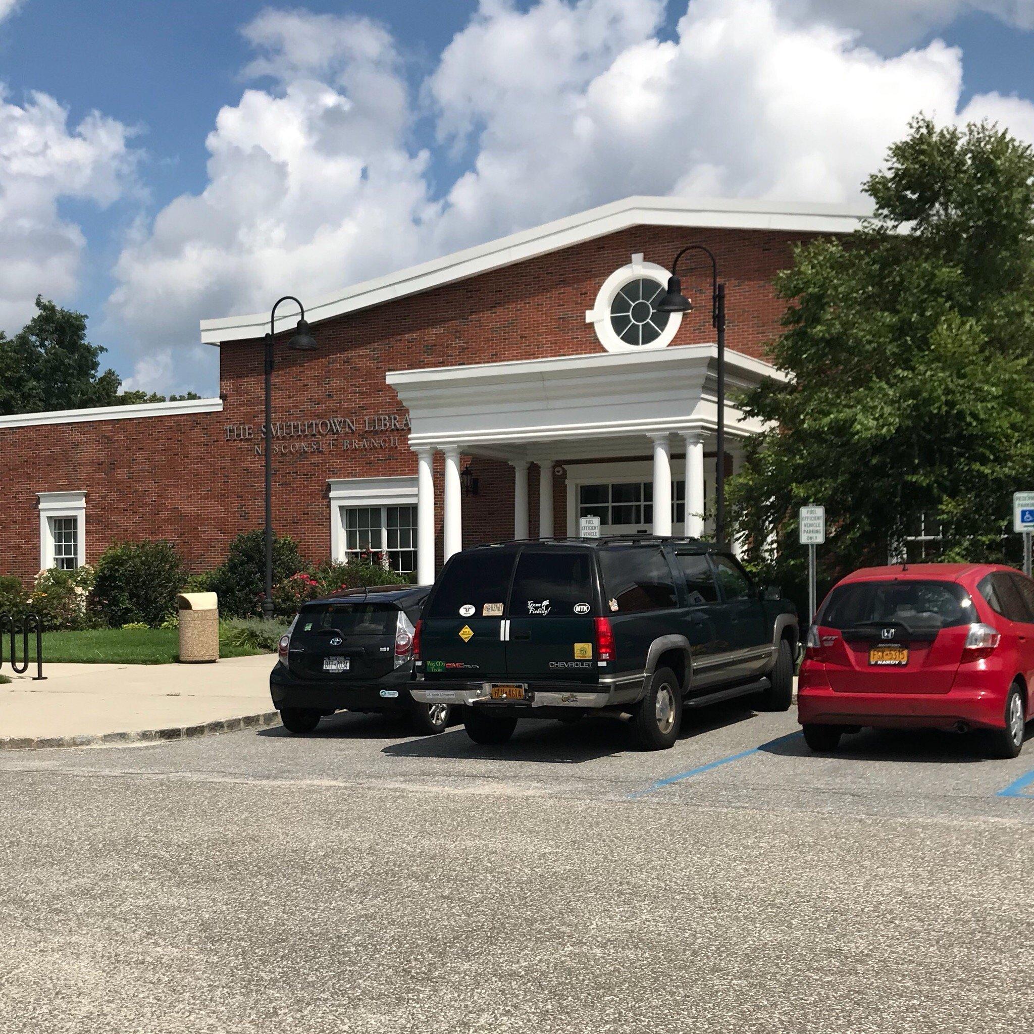
Nesconset, NY
Advertisement
Nesconset, NY Map
Nesconset is a US city in Suffolk County in the state of New York. Located at the longitude and latitude of -73.150600, 40.846100 and situated at an elevation of 36 meters. In the 2020 United States Census, Nesconset, NY had a population of 13,207 people. Nesconset is in the Eastern Standard Time timezone at Coordinated Universal Time (UTC) -5. Find directions to Nesconset, NY, browse local businesses, landmarks, get current traffic estimates, road conditions, and more.
Nesconset, located in the state of New York, is a small hamlet that offers a charming blend of suburban tranquility and historical intrigue. Known primarily for its family-friendly atmosphere, Nesconset is a place where community spirit thrives amidst tree-lined streets and parks. One of the popular spots within Nesconset is the expansive Charles P. Toner Park, which features walking trails, sports fields, and a playground, making it a central hub for local activities and events. Additionally, the Nesconset Library is a cornerstone of the community, providing a rich array of resources and programs for residents of all ages.
The history of Nesconset is deeply rooted in its development as a residential area in the 20th century, evolving from its origins as a rural farming community. This transformation is reflected in its architecture and community planning, which harmoniously blends modern amenities with historical charm. While it may not be a bustling metropolis, Nesconset's appeal lies in its quiet, small-town atmosphere, making it an ideal destination for those looking to experience a slower pace of life with easy access to the cultural and recreational offerings of the surrounding areas.
Nearby cities include: Village of the Branch, NY, Lake Grove, NY, Lake Ronkonkoma, NY, Ronkonkoma, NY, Islandia, NY, Hauppauge, NY, Smithtown, NY, Head of the Harbor, NY, Centereach, NY, Nissequogue, NY.
Places in Nesconset
Dine and drink
Eat and drink your way through town.
Can't-miss activities
Culture, natural beauty, and plain old fun.
Places to stay
Hang your (vacation) hat in a place that’s just your style.
Advertisement


