


Mill Neck, NY
Advertisement
Mill Neck, NY Map
Mill Neck is a US city in Nassau County in the state of New York. Located at the longitude and latitude of -73.556100, 40.888900 and situated at an elevation of 43 meters. In the 2020 United States Census, Mill Neck, NY had a population of 1,054 people. Mill Neck is in the Eastern Standard Time timezone at Coordinated Universal Time (UTC) -5. Find directions to Mill Neck, NY, browse local businesses, landmarks, get current traffic estimates, road conditions, and more.
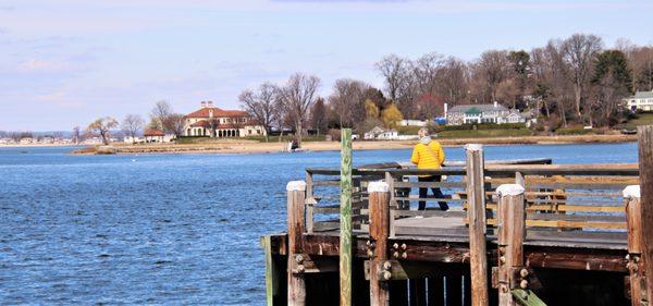
Mill Neck, situated in the state of New York, is a quaint and picturesque village known for its serene landscapes and affluent charm. A highlight of this village is the Mill Neck Manor, a stunning Tudor Revival mansion that once served as a private residence and now functions as a venue for various events and educational purposes. The manor's grand architecture and beautifully maintained gardens make it a popular attraction for both history enthusiasts and those seeking a tranquil escape. The village is also recognized for its commitment to preserving natural beauty, with several nature preserves and walking trails offering visitors a chance to immerse themselves in the quietude of Long Island's North Shore.
Historically, Mill Neck has maintained a reputation as a serene enclave, attracting those who appreciate a slower pace of life away from the bustling city. The village's history is reflected in its architecture and the well-preserved estates that dot the landscape. Additionally, Mill Neck is known for its annual Apple Festival, which draws crowds eager to experience local produce, crafts, and community spirit. This event not only showcases the village's agricultural roots but also highlights its strong sense of community and tradition. Overall, Mill Neck offers a blend of historical charm, natural beauty, and a taste of upscale suburban life.
Nearby cities include: Bayville, NY, Matinecock, NY, Lattingtown, NY, Locust Valley, NY, Centre Island, NY, Upper Brookville, NY, East Norwich, NY, Cove Neck, NY, Oyster Bay Cove, NY, Glen Cove, NY.
Places in Mill Neck
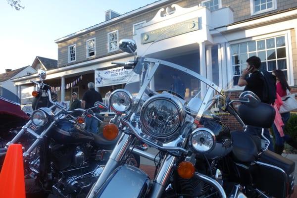
Dine and drink
Eat and drink your way through town.
Can't-miss activities
Culture, natural beauty, and plain old fun.

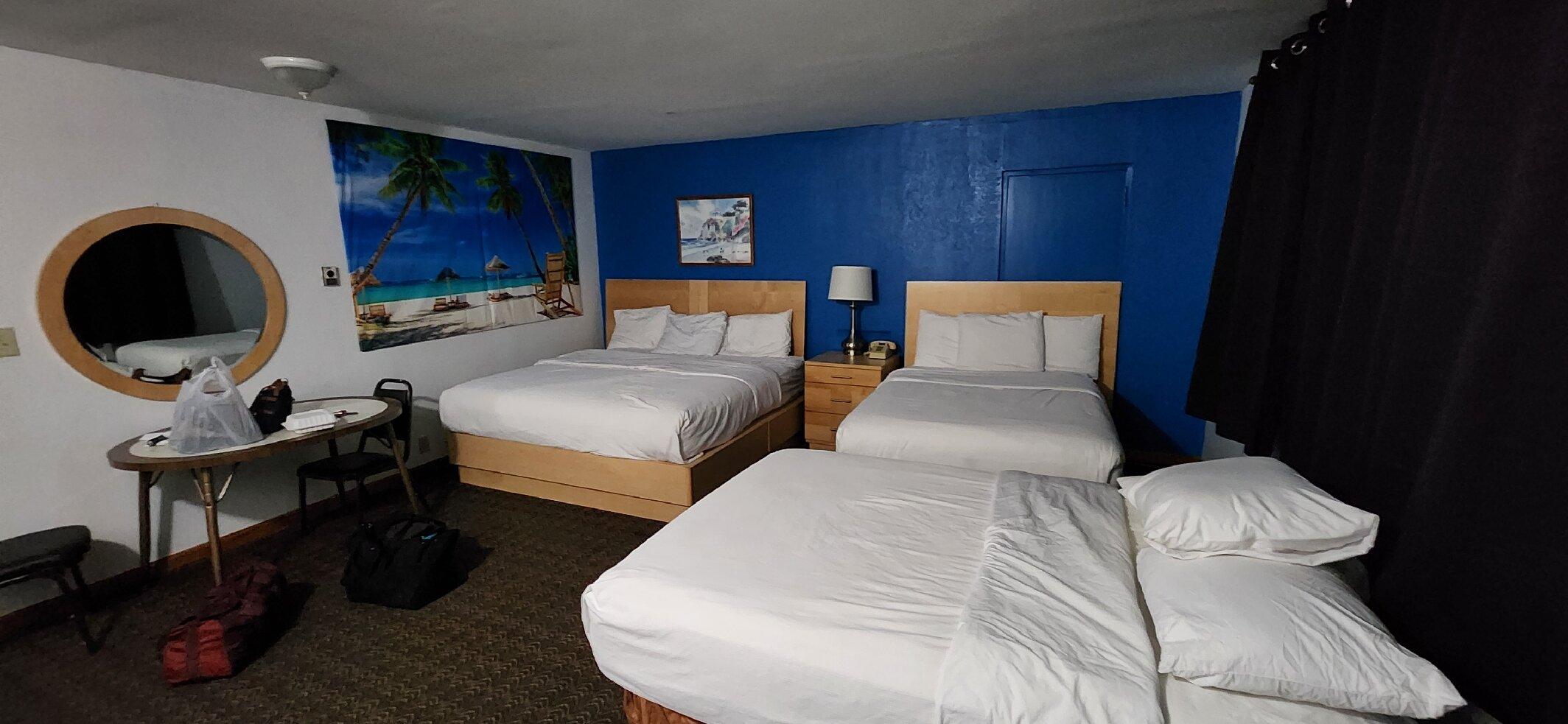
Places to stay
Hang your (vacation) hat in a place that’s just your style.

Advertisement